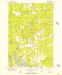
1955 Map of Randville
USGS Topo · Published 1957About this map
The Chicago Milwaukee St Paul and Pacific railroad tracks bisect the landscape north to south, serving the small settlements of Randville, Granite Bluff, and Merriman. This 1955 survey captures the rugged timber and water country of the Upper Peninsula, dominated by the Sturgeon River State Forest and the industrial activity of a local Quarry and Gravel Pit. The southern portion of the sheet reveals a complex water network where the Menominee River forms the state line between Michigan and Wisconsin.
Find a feature on this map
42 named features on this map. Tap any name to fly to it.
Don’t see what you’re looking for? This feature index may not catch every label — zoom into the map to look around manually.
Map Details
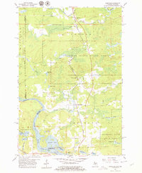
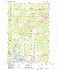
Editions of this 1955 Randville Map
3 editions found
Other maps of this area

1899 · Sagola
USGS Topo · 1:62,500

1939 · Iron Mountain
USGS Topo · 1:48,000

1941 · Iron Mountain
USGS Topo · 1:48,000

1947 · Iron Mountain
USGS Topo · 1:48,000

1947 · Lake Mary
USGS Topo · 1:24,000
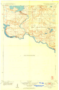
1949 · Commonwealth
USGS Topo · 1:24,000

1954 · Iron Mountain
USGS Topo · 1:250,000

1954 · Escanaba
USGS Topo · 1:250,000

1955 · Norway
USGS Topo · 1:24,000

1955 · Norway
USGS Topo · 1:62,500