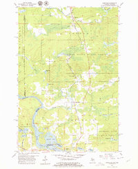
1955 Map of Randville
USGS Topo · Published 1979About this map
The Chicago Milwaukee St Paul and Pacific railroad forms a primary north-south artery through this Upper Peninsula landscape, connecting the small communities of Randville, Granite Bluff, and Merriman. The terrain is defined by the expansive Sturgeon River State Forest, where the West Branch and the main Sturgeon River course through wooded lowlands and marshy basins like Sonnies Pond.
Find a feature on this map
38 named features on this map. Tap any name to fly to it.
Don’t see what you’re looking for? This feature index may not catch every label — zoom into the map to look around manually.
Map Details
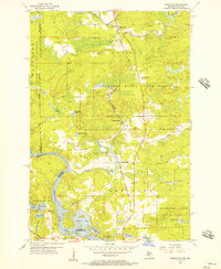
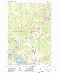
Editions of this 1955 Randville Map
3 editions found
Other maps of this area

1899 · Sagola
USGS Topo · 1:62,500

1939 · Iron Mountain
USGS Topo · 1:48,000

1941 · Iron Mountain
USGS Topo · 1:48,000

1947 · Iron Mountain
USGS Topo · 1:48,000

1947 · Lake Mary
USGS Topo · 1:24,000
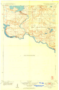
1949 · Commonwealth
USGS Topo · 1:24,000

1954 · Iron Mountain
USGS Topo · 1:250,000

1954 · Escanaba
USGS Topo · 1:250,000

1955 · Norway
USGS Topo · 1:24,000

1955 · Norway
USGS Topo · 1:62,500