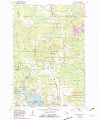
1955 Map of Randville
USGS Topo · Published 1983About this map
Randville and the neighboring settlements of Granite Bluff and Merriman are captured during a period of transition in Dickinson County, Michigan. The Escanaba and Lake Superior railroad corridor forms the primary industrial axis, connecting local resources like the northern Quarry and southern Gravel Pit to the wider region. Much of the landscape is defined by the Copper Country State Forest, where numerous small water bodies such as Browning Lake and Bradford Lake are scattered across the timberland.
Find a feature on this map
41 named features on this map. Tap any name to fly to it.
Don’t see what you’re looking for? This feature index may not catch every label — zoom into the map to look around manually.
Map Details
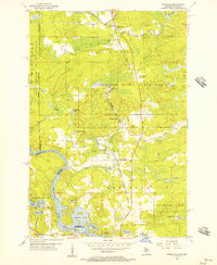
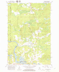
Editions of this 1955 Randville Map
3 editions found
Other maps of this area

1899 · Sagola
USGS Topo · 1:62,500

1939 · Iron Mountain
USGS Topo · 1:48,000

1941 · Iron Mountain
USGS Topo · 1:48,000

1947 · Iron Mountain
USGS Topo · 1:48,000

1947 · Lake Mary
USGS Topo · 1:24,000
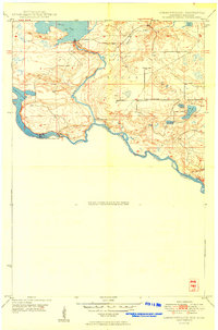
1949 · Commonwealth
USGS Topo · 1:24,000

1954 · Iron Mountain
USGS Topo · 1:250,000

1954 · Escanaba
USGS Topo · 1:250,000

1955 · Norway
USGS Topo · 1:24,000

1955 · Norway
USGS Topo · 1:62,500