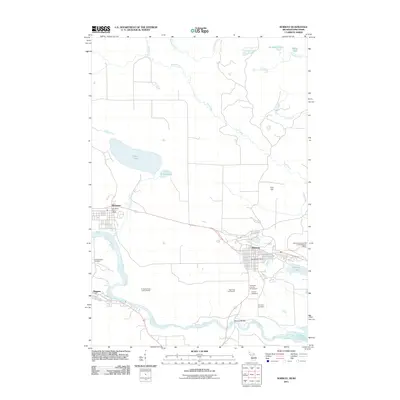
2011 Map of Norway
USGS Topo · Published 2011About this map
The Menominee River defines the southern boundary of this border region, carving through the landscape with notable cataracts like Little Quinnesec Falls and Sand Portage Falls. The city of Norway serves as a primary hub, containing the Norway Post Office and the Dickinson County Fairgrounds. To the west, Quinnesec is positioned near the tranquil Fumee Lake and Fumee Falls, while the community of Niagara sits just across the Wisconsin border. Local history is anchored by the Norway Cemetery and Saint Anthony Cemetery. High points such as Iron Hill overlook a network of waterways including Pine Creek and Seiberts Creek, illustrating the transition from the river-valley settlements to the elevated terrain of the Upper Peninsula.
Find a feature on this map
28 named features on this map. Tap any name to fly to it.
Don’t see what you’re looking for? This feature index may not catch every label — zoom into the map to look around manually.
Map Details
Editions of this 2011 Norway Map
This is the sole edition of this map. No revisions or reprints were ever made.
Other maps of this area

1939 · Pembine
USGS Topo · 1:48,000

1939 · Dunbar
USGS Topo · 1:48,000

1939 · Iron Mountain
USGS Topo · 1:48,000

1941 · Dunbar
USGS Topo · 1:48,000

1941 · Iron Mountain
USGS Topo · 1:48,000

1947 · Pembine
USGS Topo · 1:48,000

1947 · Dunbar
USGS Topo · 1:48,000

1947 · Iron Mountain
USGS Topo · 1:48,000

1954 · Iron Mountain
USGS Topo · 1:250,000

1954 · Escanaba
USGS Topo · 1:250,000