Old Maps of Walton Township, Michigan for Metal Detecting
Plan your next treasure hunt with 33 historic maps of Walton Township. Find old homesites, ghost towns, trails, and gathering spots that may be lost to time — perfect for identifying promising metal detecting locations.
- Locate forgotten sites: Uncover places like long-lost settlements, abandoned rail lines, or gathering spots.
- Plan better hunts: Use map overlays combined with LiDAR or satellite views to narrow in on historically rich areas.
- Made for detectorists: Thousands of hobbyists use these maps to discover relics, coins, and hidden history.
Use these historic maps to boost your research and find new opportunities beneath the surface of Walton Township.
Walton Township, MI maps
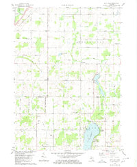
(33)- 1921 Map of Marshall, 1965 Print
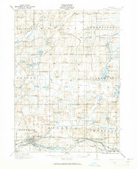 1921 Marshall1965 Print · USGSSouthern Michigan in the early 1920s is defined by its busy rail corridors and countless rural school districts. Researchers can trace the development of Marshall and Albion or locate vanished landmarks like the County Infirmary and Town Line Church.2 unique versions available
 - 1923 Map of Marshall
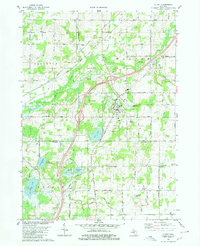
 1923 Marshall1923 Print · USGSSouthern Michigan in the early twenties reveals a landscape of growing towns and busy rail corridors. Genealogists can trace rural family roots through dozens of local schoolhouses and centers like Lee Center, Partello, and Town Line Church.4 unique versions available
 - 1943 Map of Marshall
 1943 Marshall1943 Print · USGSCentral Michigan during the early 1940s is defined by its busy rail corridors and small school districts. Genealogists can trace family names at locations like Hockinberry Sch, Olivet, and the Starr Commonwealth Sch.
 - 1949 Map of Charlotte
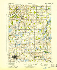
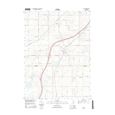
 1949 Charlotte1949 Print · USGSEaton County enters the post-war era as a thriving rail hub where the Michigan Central and Grand Trunk lines meet. Genealogists and historians can trace dozens of rural schoolhouses and family cemeteries, from Shaytown to the County Farm.3 unique versions available
 - 1958 Map of Grand Rapids, 1973 Print
 1958 Grand Rapids1973 Print · USGSSouthern Michigan at the peak of the postwar era shows a landscape of burgeoning cities and new interstate highways. Trace family roots and regional growth in Grand Rapids, Battle Creek, and the glacial lake country around Gun Lake or Gull Lake.2 unique versions available
 - 1961 Map of Grand Rapids
 1961 Grand Rapids1961 Print · USGSSouthern Michigan at the dawn of the 1960s reveals a region shaped by major river systems and a robust rail network. Trace mid-century industrial growth and land use from Grand Rapids to the Fort Custer Military Reservation and Gun Lake.
 - 1962 Map of Grand Rapids
 1962 Grand Rapids1962 Print · USGSMid-century Southern Michigan is mapped here at a time of massive growth, showing the expanding urban footprints of Grand Rapids and Lansing. Researchers can trace the legacy of the Grand Trunk Western RR, find historic boundaries of the Fort Custer Military Reservation, or locate sporting camps around Gun Lake.2 unique versions available
 - 1980 Map of Duck Lake
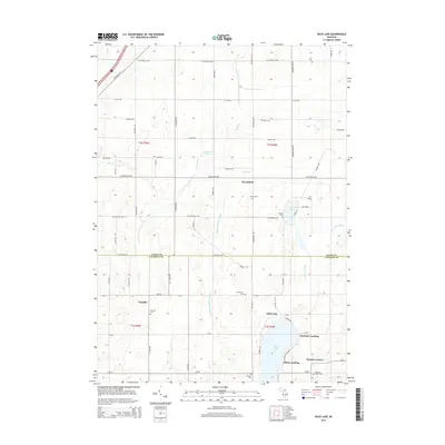
 1980 Duck Lake1980 Print · USGSThe Eaton and Calhoun county borderlands in the 1980s show a landscape of quiet lakeside landings and crossroads hamlets. Genealogists and local historians can trace family locations near Partello, Clarence Center, and numerous local burial grounds like Perry Cem.2 unique versions available
 - 1980 Map of Olivet
 1980 Olivet1980 Print · USGSOlivet and the Eaton-Calhoun county line are shown in the early 1980s as a landscape of small college-town life and rural industry. Researchers can trace the Grand Trunk Western rail line and locate Bosworth Cem or the Oil Field near Lee Center.
 - 1980 Map of Charlotte, 1981 Print
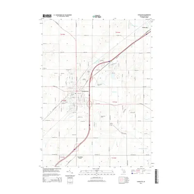
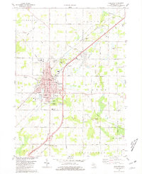 1980 Charlotte1981 Print · USGSCharlotte at the start of the 1980s was a bustling county seat anchored by the Grand Trunk Western railroad and a dense network of local schools. Researchers can trace mid-century civic growth through sites like the Fitch H Beach Airport, Maple Hill Cem, and the old Drive-in Theater.
 - 1980 Map of Chester, 1981 Print
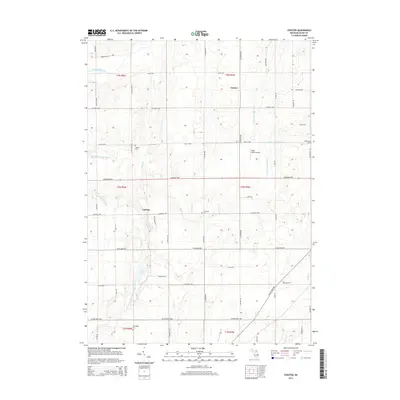
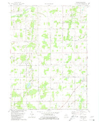 1980 Chester1981 Print · USGSEaton County's rural townships are shown in the late 1970s, featuring a landscape defined by small farming communities and the winding Thornapple River. Genealogists can trace early local families through landmarks like Millerburg Cem and the West Carmel Ch.2 unique versions available
 - 1983 Map of Jackson, 1984 Print
 1983 Jackson1984 Print · USGSJackson and the surrounding lake country are shown in the early eighties as a hub of rail transit and outdoor recreation. Local historians can trace institutional footprints like the State Prison Farm or explore the landscape of Minards Mill and Olivet College.
 - 1983 Map of Lansing, 1984 Print
 1983 Lansing1984 Print · USGSThe Lansing area and its surrounding river valleys are captured here in the early eighties. Genealogists and historians can trace the rail corridors of the Conrail or locate local landmarks like St Johns Ch and Greenwood Cem.
 - 2011 Map of Charlotte, 2011 Print
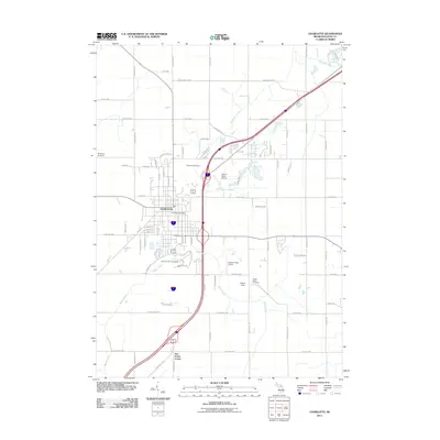 2011 Charlotte2011 Print · USGSCovers Walton Township, including Charlotte, Potterville, and other nearby areas
 - 2011 Map of Olivet, 2011 Print
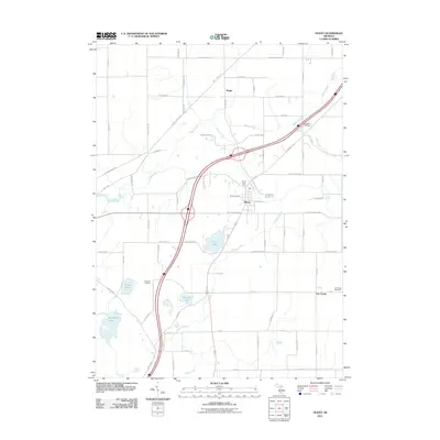 2011 Olivet2011 Print · USGSCovers Walton Township, including Olivet, Ainger, and other nearby areas
 - 2011 Map of Chester, 2011 Print
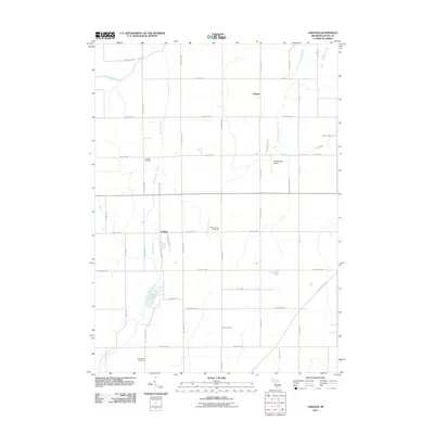 2011 Chester2011 Print · USGSCovers Walton Township, including Chester, Carlisle, and other nearby areas
 - 2011 Map of Duck Lake, 2011 Print
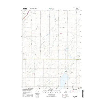
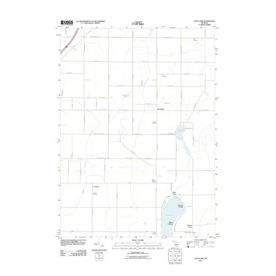 2011 Duck Lake2011 Print · USGSCovers Walton Township, including Brookfield, Clarence Township, and other nearby areas
 - 2014 Map of Chester, 2014 Print
 2014 Chester2014 Print · USGSCovers Walton Township, including Chester, Carlisle, and other nearby areas
 - 2014 Map of Olivet, 2014 Print
 2014 Olivet2014 Print · USGSCovers Walton Township, including Olivet, Ainger, and other nearby areas
 - 2014 Map of Duck Lake, 2014 Print
 2014 Duck Lake2014 Print · USGSCovers Walton Township, including Brookfield, Clarence Township, and other nearby areas
 - 2014 Map of Charlotte, 2014 Print
 2014 Charlotte2014 Print · USGSCovers Walton Township, including Charlotte, Potterville, and other nearby areas
 - 2017 Map of Olivet, 2017 Print
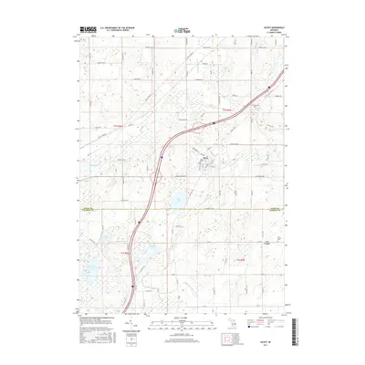 2017 Olivet2017 Print · USGSCovers Walton Township, including Olivet, Ainger, and other nearby areas
 - 2017 Map of Duck Lake, 2017 Print
 2017 Duck Lake2017 Print · USGSCovers Walton Township, including Brookfield, Clarence Township, and other nearby areas
 - 2017 Map of Charlotte, 2017 Print
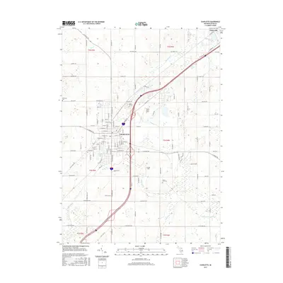 2017 Charlotte2017 Print · USGSCovers Walton Township, including Charlotte, Potterville, and other nearby areas
 - 2017 Map of Chester, 2017 Print
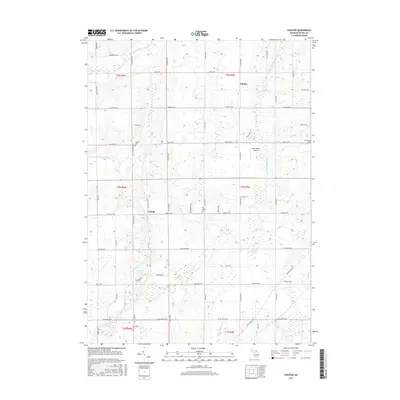 2017 Chester2017 Print · USGSCovers Walton Township, including Chester, Carlisle, and other nearby areas
Showing maps 1-25 of 33
Top cities near Walton Township
- Lansing historical maps
- Albion historical maps
- Charlotte historical maps
- Marshall historical maps
- Eaton Rapids historical maps
- Potterville historical maps
See more
Top neighborhoods of Walton Township
Frequently asked questions
- What are the different types of historical maps available for Walton Township?
- What is the oldest map of Walton Township?
- Where can I purchase historical maps of Walton Township for my home or office?
- Where can I download high-res historical maps of Walton Township?
- Are there historical topographic maps available for Walton Township?
- Is there historical aerial imagery available for Walton Township?
- Where are historical maps of Walton Township sourced from?