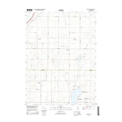
2014 Map of Duck Lake
USGS Topo · Published 2014About this map
Brookfield and Partello anchor this agricultural landscape along the county line between Eaton Co and Calhoun Co. The map documents a rural transition where historical township hubs like Clarence Center meet lakefront recreational developments. The southern portion of the sheet is dominated by the waters of Duck Lake, which is lined with small-scale landings including Charlotte Landing and Albion Landing. These sites, along with the nearby Narrow Lake, reflect the region's shift toward seasonal and residential lakeside use.
Find a feature on this map
74 named features on this map. Tap any name to fly to it.
Don’t see what you’re looking for? This feature index may not catch every label — zoom into the map to look around manually.
Map Details
Editions of this 2014 Duck Lake Map
This is the sole edition of this map. No revisions or reprints were ever made.
Other maps of this area

1910 · Lansing
USGS Topo · 1:62,500

1912 · Lansing
USGS Topo · 1:62,500

1919 · Springport
USGS Topo · 1:62,500

1921 · Springport
USGS Topo · 1:62,500

1921 · Marshall
USGS Topo · 1:62,500

1923 · Marshall
USGS Topo · 1:62,500

1943 · Marshall
USGS Topo · 1:62,500

1949 · Charlotte
USGS Topo · 1:62,500

1958 · Grand Rapids
USGS Topo · 1:250,000

1961 · Grand Rapids
USGS Topo · 1:250,000