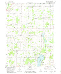
1980 Map of Duck Lake
USGS Topo · Published 1980About this map
Duck Lake and its surrounding wetlands form the central focus of this south-central Michigan landscape, where the Eaton Co Calhoun Co line divides the terrain. The map documents a transition from the agricultural plateaus of Walton and Brookfield to the more water-dominated south. Shoreline development is evident at Charlotte Landing and Albion Landing, while the interior remains defined by a grid of rural highways named for local families, such as Osborn Highway and Mahan Highway.
Find a feature on this map
52 named features on this map. Tap any name to fly to it.
Don’t see what you’re looking for? This feature index may not catch every label — zoom into the map to look around manually.
Map Details
Editions of this 1980 Duck Lake Map
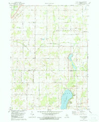
2 editions found
Other maps of this area

1910 · Lansing
USGS Topo · 1:62,500

1912 · Lansing
USGS Topo · 1:62,500

1919 · Springport
USGS Topo · 1:62,500

1921 · Springport
USGS Topo · 1:62,500

1921 · Marshall
USGS Topo · 1:62,500

1923 · Marshall
USGS Topo · 1:62,500

1943 · Marshall
USGS Topo · 1:62,500

1949 · Charlotte
USGS Topo · 1:62,500

1958 · Grand Rapids
USGS Topo · 1:250,000

1961 · Grand Rapids
USGS Topo · 1:250,000