Old Maps of Gaines Township, Michigan for Academic Research
Study the evolution of Gaines Township with 30 high-resolution historic maps. Whether you're teaching, researching, or modeling changes in land use, these maps provide essential visual documentation of urban, environmental, and geographic change.
- Analyze long-term change: Track patterns in development, transportation, and natural features.
- Ideal for environmental or urban studies: Support academic projects with primary historical map data.
- Use in the classroom or lab: Educators and researchers rely on these maps to bring historical context to life.
These maps are a powerful tool for teaching, research, and visualizing how Gaines Township has changed over the decades.
Gaines Township, MI maps
(30)- 1922 Map of Durand
 1922 Durand1922 Print · USGSShiawassee and Genesee counties come alive in the early 1920s as a bustling junction of rail and river. Researchers can trace the sprawling Grand Trunk lines through Durand or locate family roots near the Crapo Farm and Unity Grange.4 unique versions available
 - 1943 Map of Durand
 1943 Durand1943 Print · USGSMid-century Shiawassee and Genesee Counties are mapped here during a period of agricultural stability and rail expansion. Genealogists can trace family farm locations near Crapo Farm or locate rural schools like Doane Sch and Church Sch.
 - 1954 Map of Detroit
 1954 Detroit1954 Print · USGSThe Detroit metro and its Ontario neighbors are shown at the height of the mid-century industrial era, just as the suburbs were rapidly expanding. Researchers can trace the massive rail networks of the Wabash Railroad or locate landmarks like Grosse Ile and Selfridge Air Force Base.
 - 1961 Map of Detroit, 1973 Print
 1961 Detroit1973 Print · USGSThe international border between Michigan and Ontario was a bustling industrial corridor in the early sixties. Researchers can trace the transit networks and riverfront infrastructure connecting Detroit to Windsor via the Detroit-Windsor Tunnel and major air hubs like Willow Run Airport.2 unique versions available
 - 1965 Map of Detroit
 1965 Detroit1965 Print · USGSThe industrial corridor between Michigan and Ontario is captured here at mid-century, showing the dense rail and river networks of the Great Lakes. Local historians can trace the paths of the Grand Trunk Western RR and locate key landmarks like Selfridge Air Force Base and Grosse Ile.
 - 1969 Map of Durand, 1971 Print
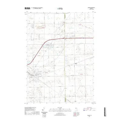
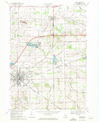 1969 Durand1971 Print · USGSShiawassee and Genesee Counties are captured in the late sixties as the rail-driven town of Durand and surrounding farmsteads expanded. Local historians can trace family roots through Yerian Cem, Pilgrim Ch, and the small rail-side hamlet of Duffield.2 unique versions available
 - 1969 Map of Byron, 1971 Print
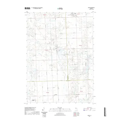
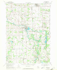 1969 Byron1971 Print · USGSByron and the Shiawassee River valley are captured here in the late sixties, showing a landscape of small villages and glacial lakes. Trace family history at Oakwood Cem or explore old local landmarks like the Byron Millpond and Lyndee Landing Strip.3 unique versions available
 - 1969 Map of Linden, 1971 Print
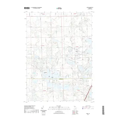
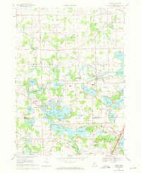 1969 Linden1971 Print · USGSLinden and the surrounding lake country of southern Michigan are shown here in the late sixties as residential and rail infrastructure expanded. Genealogists can locate several historic burial grounds like Fairview Cem and trace the Grand Trunk Western line as it serves the village.3 unique versions available
 - 1969 Map of Swartz Creek, 1971 Print
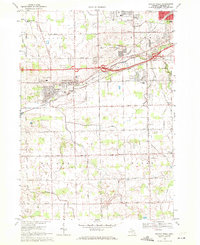 1969 Swartz Creek1971 Print · USGSSwartz Creek and the surrounding Genesee County townships are shown here in the late sixties as suburban growth meets traditional Michigan farmland. Researchers can trace family roots at Mt Hope Cem or locate historic local schools like Woodland Sch and Morrish Sch.2 unique versions available
 - 1985 Map of Pontiac
 1985 Pontiac1985 Print · USGSSoutheast Michigan in the mid-1980s shows a landscape of growing suburban corridors and expansive public parklands. Genealogists and local historians can trace the footprint of rail lines like the Grand Trunk Western or locate family sites near Oakwood Cem and White Chapel Cem.2 unique versions available
 - 2011 Map of Durand, 2011 Print
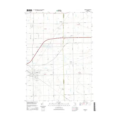
 2011 Durand2011 Print · USGSCovers Gaines Township, including Durand, Lennon, and other nearby areas
 - 2011 Map of Swartz Creek, 2011 Print
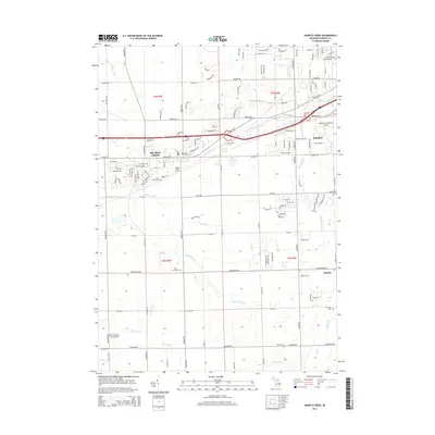
 2011 Swartz Creek2011 Print · USGSCovers Gaines Township, including Flint, Swartz Creek, and other nearby areas
 - 2011 Map of Linden, 2011 Print
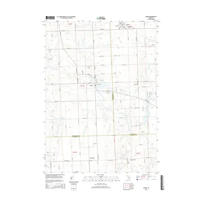
 2011 Linden2011 Print · USGSCovers Gaines Township, including Fenton, Tyrone Township, and other nearby areas
 - 2011 Map of Byron, 2011 Print
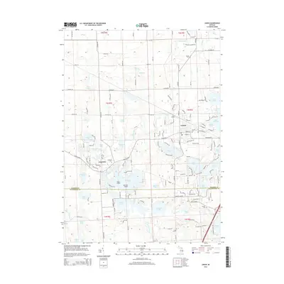
 2011 Byron2011 Print · USGSCovers Gaines Township, including Deerfield Township, Cohoctah Township, and other nearby areas
 - 2014 Map of Durand, 2014 Print
 2014 Durand2014 Print · USGSCovers Gaines Township, including Durand, Lennon, and other nearby areas
 - 2014 Map of Swartz Creek, 2014 Print
 2014 Swartz Creek2014 Print · USGSCovers Gaines Township, including Flint, Swartz Creek, and other nearby areas
 - 2014 Map of Linden, 2014 Print
 2014 Linden2014 Print · USGSCovers Gaines Township, including Fenton, Tyrone Township, and other nearby areas
 - 2014 Map of Byron, 2014 Print
 2014 Byron2014 Print · USGSCovers Gaines Township, including Deerfield Township, Cohoctah Township, and other nearby areas
 - 2017 Map of Swartz Creek, 2017 Print
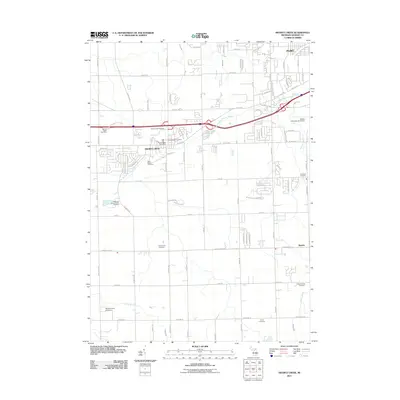
 2017 Swartz Creek2017 Print · USGSCovers Gaines Township, including Flint, Swartz Creek, and other nearby areas
 - 2017 Map of Linden, 2017 Print
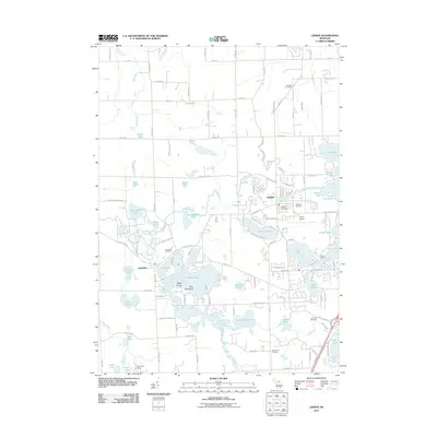
 2017 Linden2017 Print · USGSCovers Gaines Township, including Fenton, Tyrone Township, and other nearby areas
 - 2017 Map of Byron, 2017 Print
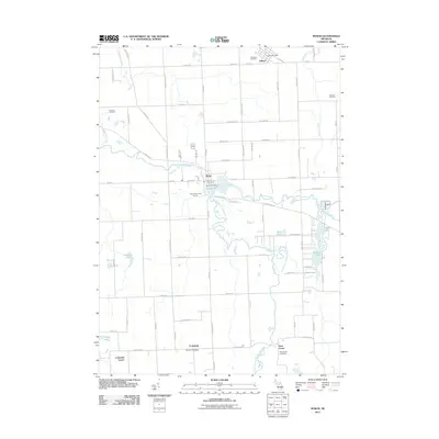
 2017 Byron2017 Print · USGSCovers Gaines Township, including Deerfield Township, Cohoctah Township, and other nearby areas
 - 2017 Map of Durand, 2017 Print
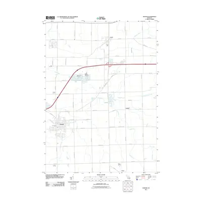
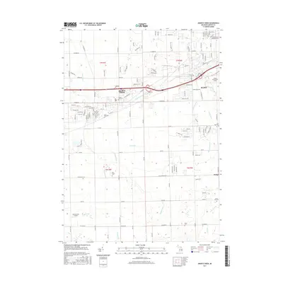
 2017 Durand2017 Print · USGSCovers Gaines Township, including Durand, Lennon, and other nearby areas
 - 2019 Map of Byron, 2019 Print
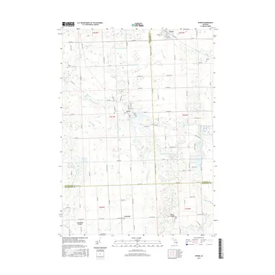
 2019 Byron2019 Print · USGSCovers Gaines Township, including Deerfield Township, Cohoctah Township, and other nearby areas
 - 2019 Map of Durand, 2019 Print
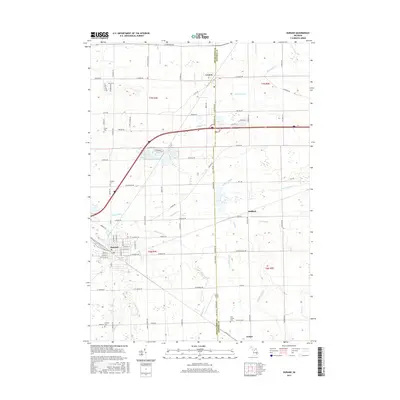
 2019 Durand2019 Print · USGSCovers Gaines Township, including Durand, Lennon, and other nearby areas
 - 2019 Map of Linden, 2019 Print
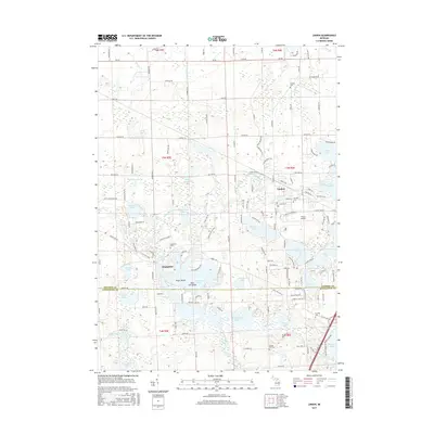
 2019 Linden2019 Print · USGSCovers Gaines Township, including Fenton, Tyrone Township, and other nearby areas
Showing maps 1-25 of 30
Top cities near Gaines Township
- Flint historical maps
- Burton historical maps
- Highland Charter Township historical maps
- Hartland Township historical maps
- Fenton historical maps
- Oceola Township historical maps
See more
Top neighborhoods of Gaines Township
Frequently asked questions
- What are the different types of historical maps available for Gaines Township?
- What is the oldest map of Gaines Township?
- Where can I purchase historical maps of Gaines Township for my home or office?
- Where can I download high-res historical maps of Gaines Township?
- Are there historical topographic maps available for Gaines Township?
- Is there historical aerial imagery available for Gaines Township?
- Where are historical maps of Gaines Township sourced from?