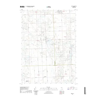
2019 Map of Byron
USGS Topo · Published 2019About this map
Byron sits at a geographic crossroads where the Shiawassee River turns east, anchoring a landscape defined by its intricate water systems and rural burial grounds. The river and its many tributaries, including the South Branch Shiawassee River and the Cohoctah and Barnum Drain, create a complex drainage network that historically shaped the agricultural boundaries of this region. To the north, the village of Gaines marks the upper reaches of the map, while the southern portion transitions into the agricultural heart of Cohoctah and Cohoctah Center. Local history is preserved in several family and community landmarks, such as Atherton Cem and Byron Cem, which reflect the generations of settlement across the Livingston, Genesee, and Shiawassee county lines.
Find a feature on this map
104 named features on this map. Tap any name to fly to it.
Don’t see what you’re looking for? This feature index may not catch every label — zoom into the map to look around manually.
Map Details
Editions of this 2019 Byron Map
This is the sole edition of this map. No revisions or reprints were ever made.
Other maps of this area

1907 · Howell
USGS Topo · 1:62,500

1908 · Fowlerville
USGS Topo · 1:62,500

1909 · Howell
USGS Topo · 1:62,500

1910 · Fowlerville
USGS Topo · 1:62,500

1922 · Durand
USGS Topo · 1:62,500

1926 · Corunna
USGS Topo · 1:62,500

1929 · Corunna
USGS Topo · 1:62,500

1943 · Durand
USGS Topo · 1:62,500

1944 · Corunna
USGS Topo · 1:62,500

1954 · Detroit
USGS Topo · 1:250,000