Old Maps of Oregon Township, Michigan for Hiking & Exploration
Hike through history with 28 historic maps of Oregon Township. Explore old trails, ghost towns, and forgotten backroads — perfect for outdoor adventurers and local explorers.
- Rediscover forgotten places: Map out old mining camps, roads, and footpaths that no longer exist on modern maps.
- Layer with modern tools: Combine with LiDAR or satellite views to plan hikes through historical terrain.
- Made for exploration: Popular among hikers, overlanders, and local history lovers.
Use these maps to find adventure and explore the hidden past of Oregon Township.
Oregon Township, MI maps
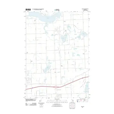
(28)- 1954 Map of Flint, 1968 Print
 1954 Flint1968 Print · USGSThe industrial corridor and fertile Thumb region of Michigan come alive in this mid-century survey. Genealogists and historians can trace the rail networks of the Grand Trunk, locate established settlements like Bad Axe and Sandusky, or explore the 1950s shoreline along Saginaw Bay.4 unique versions available
 - 1958 Map of Flint
 1958 Flint1958 Print · USGSThe Michigan Thumb and the Saginaw Valley are captured here during the height of the post-war industrial era. Researchers can trace the complex rail networks of the Grand Trunk Western or locate mid-century landmarks like Lakeport State Park and the port at Bay City.2 unique versions available
 - 1963 Map of Columbiaville, 1964 Print
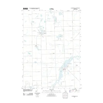
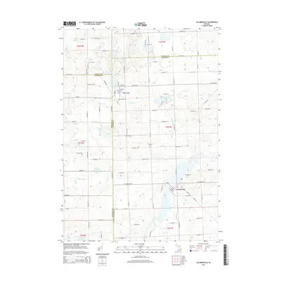
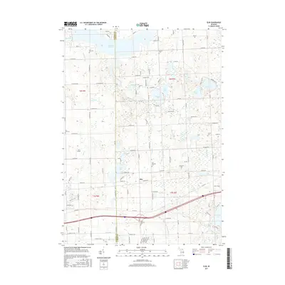
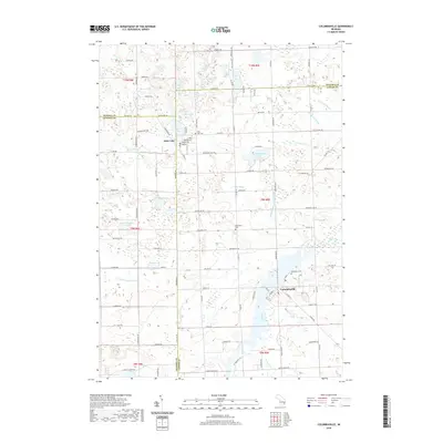
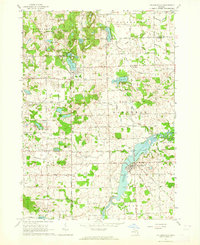 1963 Columbiaville1964 Print · USGSColumbiaville and Otter Lake appear here during the early sixties, a landscape of fertile farmland and managed waterways at the borders of three counties. Researchers can trace the New York Central Railroad corridor and locate local landmarks like Woodlawn Cem and Lakeville High Sch.2 unique versions available
 - 1963 Map of Elba, 1964 Print
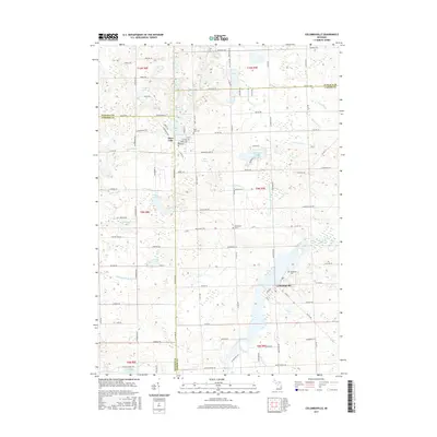
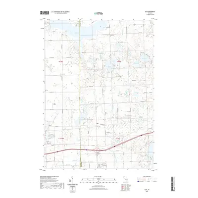
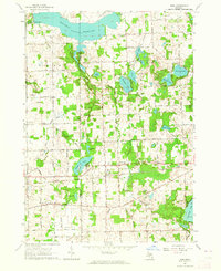 1963 Elba1964 Print · USGSLapeer and Genesee counties are captured here in the early sixties as the suburbs of Davison meet a landscape of glacial lakes and reservoirs. Genealogists and researchers can locate the German Sch, St Johns Cem, and the old rail stop at Elba.2 unique versions available
 - 1963 Map of Barnes Lake, 1964 Print
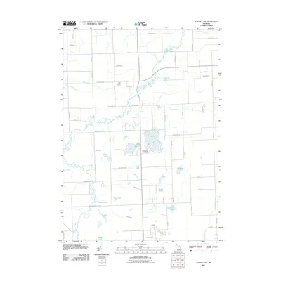
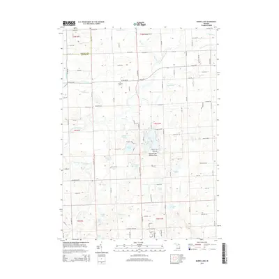
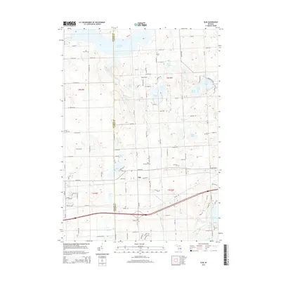
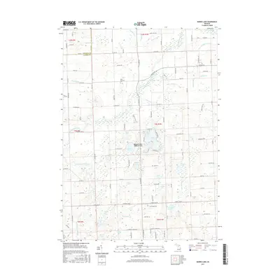
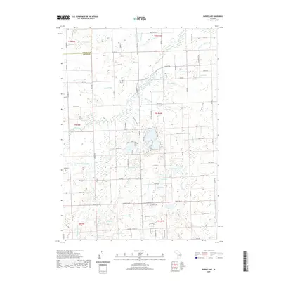
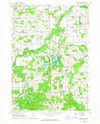 1963 Barnes Lake1964 Print · USGSThe Lapeer and Tuscola county line area is captured here during the early sixties, a landscape of extensive state game lands and winding river branches. Local historians can trace family roots at West Deerfield Ch or locate mid-century landmarks like Sweet Sch and Millers Lake.2 unique versions available
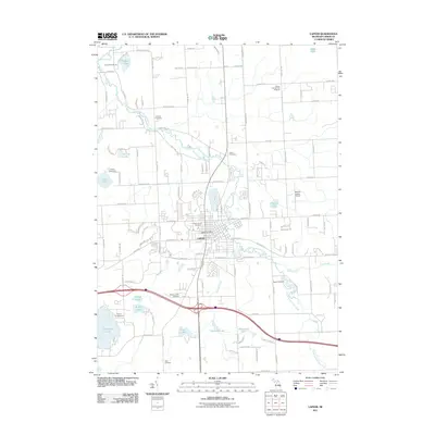
 - 1963 Map of Lapeer, 1964 Print
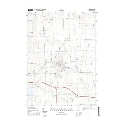
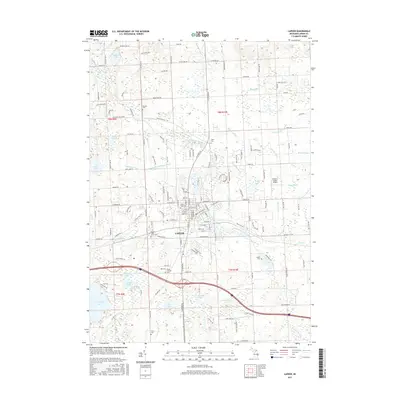
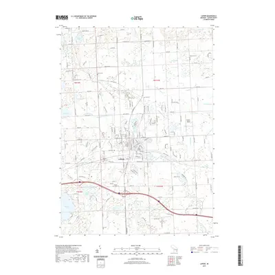
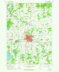 1963 Lapeer1964 Print · USGSLapeer and its surrounding townships are shown here in the early sixties as a center for regional institutions and rural education. Genealogists can locate family landmarks like Mt Loretto Cem and numerous district schools such as Valentine Sch and Irwin Sch.2 unique versions available
 - 1984 Map of Flint, 1985 Print
 1984 Flint1985 Print · USGSThe industrial corridor between Flint and Saginaw is captured here during the mid-1980s, showcasing a landscape of growing suburbs and preserved wildlands. Researchers can trace the Grand Trunk Western RR or locate local landmarks like St Johns Ch and Flint Memorial Park Cem.
 - 1990 Map of Flint, 1991 Print
 1990 Flint1991 Print · USGSThe Flint and Saginaw corridors are captured here in the early nineties, showing a landscape defined by heavy industry and rural expanses. Genealogists and historians can trace the rail lines of the Penn Central RR, visit Flint Memorial Park Cem, or explore the limits of Zilwaukee.
 - 2011 Map of Elba, 2011 Print
 2011 Elba2011 Print · USGSCovers Oregon Township, including Elba, Elba Township, and other nearby areas
 - 2011 Map of Lapeer, 2011 Print
 2011 Lapeer2011 Print · USGSCovers Oregon Township, including Lapeer, Elba Township, and other nearby areas
 - 2011 Map of Columbiaville, 2011 Print
 2011 Columbiaville2011 Print · USGSCovers Oregon Township, including Columbiaville, Otter Lake, and other nearby areas
 - 2011 Map of Barnes Lake, 2011 Print
 2011 Barnes Lake2011 Print · USGSCovers Oregon Township, including Rich Township, Watertown Township, and other nearby areas
 - 2014 Map of Barnes Lake, 2014 Print
 2014 Barnes Lake2014 Print · USGSCovers Oregon Township, including Rich Township, Watertown Township, and other nearby areas
 - 2014 Map of Lapeer, 2014 Print
 2014 Lapeer2014 Print · USGSCovers Oregon Township, including Lapeer, Elba Township, and other nearby areas
 - 2014 Map of Columbiaville, 2014 Print
 2014 Columbiaville2014 Print · USGSCovers Oregon Township, including Columbiaville, Otter Lake, and other nearby areas
 - 2014 Map of Elba, 2014 Print
 2014 Elba2014 Print · USGSCovers Oregon Township, including Elba, Elba Township, and other nearby areas
 - 2017 Map of Lapeer, 2017 Print
 2017 Lapeer2017 Print · USGSCovers Oregon Township, including Lapeer, Elba Township, and other nearby areas
 - 2017 Map of Barnes Lake, 2017 Print
 2017 Barnes Lake2017 Print · USGSCovers Oregon Township, including Rich Township, Watertown Township, and other nearby areas
 - 2017 Map of Columbiaville, 2017 Print
 2017 Columbiaville2017 Print · USGSCovers Oregon Township, including Columbiaville, Otter Lake, and other nearby areas
 - 2017 Map of Elba, 2017 Print
 2017 Elba2017 Print · USGSCovers Oregon Township, including Elba, Elba Township, and other nearby areas
 - 2019 Map of Barnes Lake, 2019 Print
 2019 Barnes Lake2019 Print · USGSCovers Oregon Township, including Rich Township, Watertown Township, and other nearby areas
 - 2019 Map of Elba, 2019 Print
 2019 Elba2019 Print · USGSCovers Oregon Township, including Elba, Elba Township, and other nearby areas
 - 2019 Map of Lapeer, 2019 Print
 2019 Lapeer2019 Print · USGSCovers Oregon Township, including Lapeer, Elba Township, and other nearby areas
 - 2019 Map of Columbiaville, 2019 Print
 2019 Columbiaville2019 Print · USGSCovers Oregon Township, including Columbiaville, Otter Lake, and other nearby areas
 - 2023 Map of Columbiaville, 2023 Print
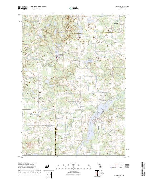 2023 Columbiaville2023 Print · USGSColumbiaville and Otter Lake appear in this contemporary survey of the Lapeer and Genesee county borders. Researchers can locate generational burial sites like Woodlawn Cem or trace the winding Flint River Water Trl and Sister Lakes.
Showing maps 1-25 of 28
Top cities near Oregon Township
- Flint historical maps
- Burton historical maps
- Oxford Charter Township historical maps
- Lapeer historical maps
- Grand Blanc historical maps
- Atlas historical maps
See more
Frequently asked questions
- What are the different types of historical maps available for Oregon Township?
- What is the oldest map of Oregon Township?
- Where can I purchase historical maps of Oregon Township for my home or office?
- Where can I download high-res historical maps of Oregon Township?
- Are there historical topographic maps available for Oregon Township?
- Is there historical aerial imagery available for Oregon Township?
- Where are historical maps of Oregon Township sourced from?