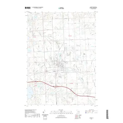
2019 Map of Lapeer
USGS Topo · Published 2019About this map
Lapeer serves as the focal point of this Lapeer County landscape, situated at the confluence of several vital water systems and local transport corridors. The South Branch Flint River and its numerous tributaries, including Hunters Cr Drain and Peasley Drain, illustrate the intricate drainage patterns essential to this region's development. Local history is deeply embedded in the land through several burial sites, such as the Lapeer State Home Cem and the Mount Loretto Cem, which suggest the area's long-standing institutional and community roots.
Find a feature on this map
102 named features on this map. Tap any name to fly to it.
Don’t see what you’re looking for? This feature index may not catch every label — zoom into the map to look around manually.
Map Details
Editions of this 2019 Lapeer Map
This is the sole edition of this map. No revisions or reprints were ever made.
Other maps of this area

1943 · Metamora
USGS Topo · 1:24,000

1945 · Thornville
USGS Topo · 1:24,000

1945 · Hadley
USGS Topo · 1:24,000

1946 · Metamora
USGS Topo · 1:24,000

1954 · Detroit
USGS Topo · 1:250,000

1954 · Flint
USGS Topo · 1:250,000

1958 · Flint
USGS Topo · 1:250,000

1961 · Detroit
USGS Topo · 1:250,000

1963 · Attica
USGS Topo · 1:24,000

1963 · North Branch
USGS Topo · 1:24,000