2000s (21st Century) Maps of Hartland Township, Michigan
Explore 20 historic maps of Hartland Township from the 2000s (21st Century). These maps offer a rare glimpse into what life looked like during the 2000s — showing old roads, neighborhoods, homes, and landmarks that have changed or disappeared over time.
Whether you're researching your family's past, planning a metal detecting trip, or studying how Hartland Township's landscape evolved across the 2000s, these high-resolution maps are a powerful tool for exploring the history of this region.
- Focus on a specific era: All maps on this page are from the 2000s, giving you a focused view of this time period.
- See what’s changed: Compare century-old streets, trails, and buildings to today's modern landscape using overlays and satellite layers.
- Research with precision: Use these maps for genealogy, historical research, land use analysis, or educational projects.
- View, download, or print: Maps are fully viewable online in high resolution, and can be downloaded or printed for your own records.
Start exploring Hartland Township's history through authentic maps from the 2000s. This is your window into the past.
Hartland Township, MI maps
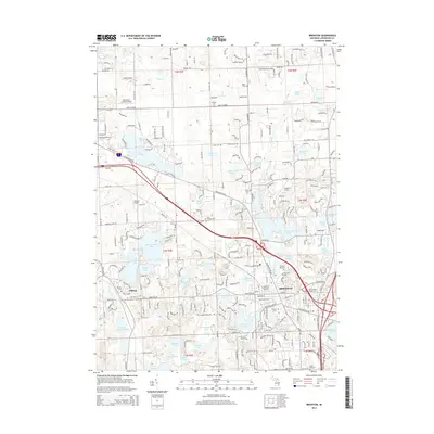
(20)- 2011 Map of Brighton, 2011 Print
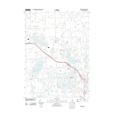 2011 Brighton2011 Print · USGSCovers Hartland Township, including Hamburg Township, Genoa Charter Township, and other nearby areas
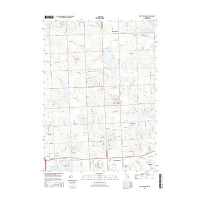
 - 2011 Map of West Highland, 2011 Print
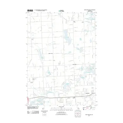 2011 West Highland2011 Print · USGSCovers Hartland Township, including Highland Charter Township, Tyrone Township, and other nearby areas
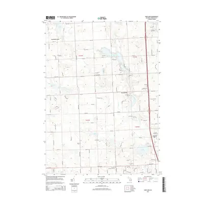
 - 2011 Map of Hartland, 2011 Print
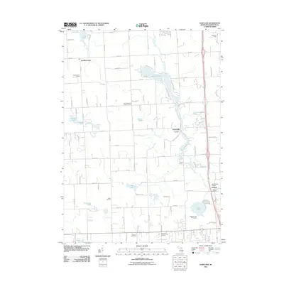 2011 Hartland2011 Print · USGSCovers Hartland Township, including Oceola Township, Tyrone Township, and other nearby areas
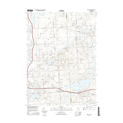
 - 2011 Map of Kent Lake, 2011 Print
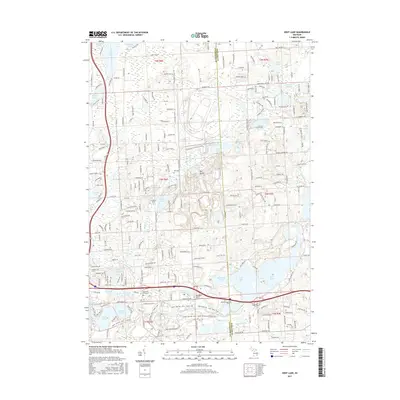
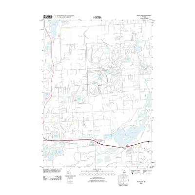 2011 Kent Lake2011 Print · USGSCovers Hartland Township, including Lyon Charter Township, Green Oak Charter Township, and other nearby areas
 - 2014 Map of Kent Lake, 2014 Print
 2014 Kent Lake2014 Print · USGSCovers Hartland Township, including Lyon Charter Township, Green Oak Charter Township, and other nearby areas
 - 2014 Map of Hartland, 2014 Print
 2014 Hartland2014 Print · USGSCovers Hartland Township, including Oceola Township, Tyrone Township, and other nearby areas
 - 2014 Map of Brighton, 2014 Print
 2014 Brighton2014 Print · USGSCovers Hartland Township, including Hamburg Township, Genoa Charter Township, and other nearby areas
 - 2014 Map of West Highland, 2014 Print
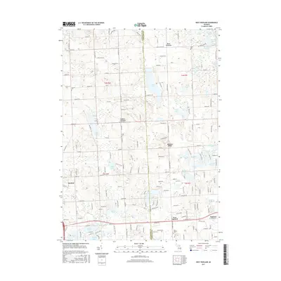
 2014 West Highland2014 Print · USGSCovers Hartland Township, including Highland Charter Township, Tyrone Township, and other nearby areas
 - 2017 Map of Kent Lake, 2017 Print
 2017 Kent Lake2017 Print · USGSCovers Hartland Township, including Lyon Charter Township, Green Oak Charter Township, and other nearby areas
 - 2017 Map of West Highland, 2017 Print
 2017 West Highland2017 Print · USGSCovers Hartland Township, including Highland Charter Township, Tyrone Township, and other nearby areas
 - 2017 Map of Brighton, 2017 Print
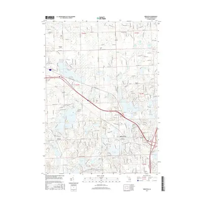 2017 Brighton2017 Print · USGSCovers Hartland Township, including Hamburg Township, Genoa Charter Township, and other nearby areas
 - 2017 Map of Hartland, 2017 Print
 2017 Hartland2017 Print · USGSCovers Hartland Township, including Oceola Township, Tyrone Township, and other nearby areas
 - 2019 Map of West Highland, 2019 Print
 2019 West Highland2019 Print · USGSCovers Hartland Township, including Highland Charter Township, Tyrone Township, and other nearby areas
 - 2019 Map of Hartland, 2019 Print
 2019 Hartland2019 Print · USGSCovers Hartland Township, including Oceola Township, Tyrone Township, and other nearby areas
 - 2019 Map of Kent Lake, 2019 Print
 2019 Kent Lake2019 Print · USGSCovers Hartland Township, including Lyon Charter Township, Green Oak Charter Township, and other nearby areas
 - 2019 Map of Brighton, 2019 Print
 2019 Brighton2019 Print · USGSCovers Hartland Township, including Hamburg Township, Genoa Charter Township, and other nearby areas
 - 2023 Map of West Highland, 2023 Print
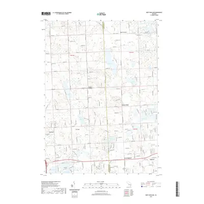
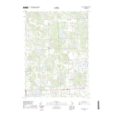 2023 West Highland2023 Print · USGSThe Livingston and Oakland county line area is captured here in the early twenty-first century, showcasing a landscape of kettle lakes and rural corners. Genealogists can locate family landmarks like Beebe Cem or trace old road junctions at Hallers Corners and Hickory Ridge.
 - 2023 Map of Brighton, 2023 Print
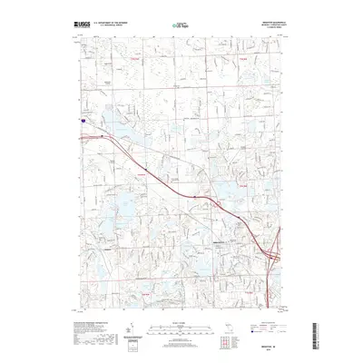
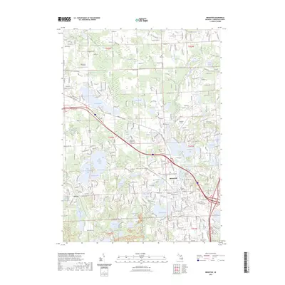 2023 Brighton2023 Print · USGSLivingston County's lake-rich landscape is centered on the growing community of Brighton and the nearby settlement of Chilson in the early 2020s. Researchers can trace local heritage through several historic sites, including Old Brighton Village Cem, Brighton Airport, and the Brighton Rec Area.
 - 2023 Map of Kent Lake, 2023 Print
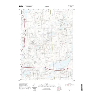
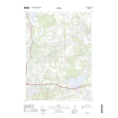 2023 Kent Lake2023 Print · USGSLivingston and Oakland counties meet here at a modern moment, where water and recreation define the landscape. Researchers can locate several burial grounds like Old Kensington Cem and Bird Cem, or trace the winding Huron River through the Island Lake Rec Area.
 - 2023 Map of Hartland, 2023 Print
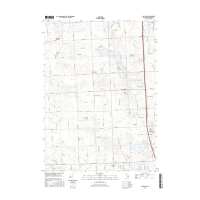
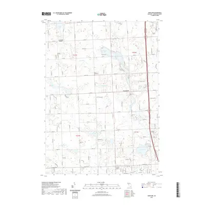
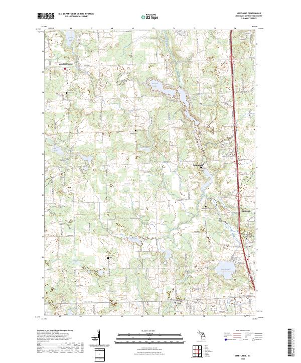 2023 Hartland2023 Print · USGSLivingston County's lake-rich landscape and rural settlements are preserved in this recent survey. Researchers can trace family sites and local history at Parshallville, Hartland, and several old burial grounds including Riddle Cem and Smith Cem.
End of results
Showing maps 1-20 of 20
Top cities near Hartland Township
- Novi historical maps
- Commerce Charter Township historical maps
- Northville Charter Township historical maps
- White Lake Charter Township historical maps
- Lyon Charter Township historical maps
- Hamburg Township historical maps
See more
Top neighborhoods of Hartland Township
Frequently asked questions
- What are the different types of historical maps available for Hartland Township?
- What is the oldest map of Hartland Township?
- Where can I purchase historical maps of Hartland Township for my home or office?
- Where can I download high-res historical maps of Hartland Township?
- Are there historical topographic maps available for Hartland Township?
- Is there historical aerial imagery available for Hartland Township?
- Where are historical maps of Hartland Township sourced from?