Old Maps of Hartland Township, Michigan for Metal Detecting
Plan your next treasure hunt with 31 historic maps of Hartland Township. Find old homesites, ghost towns, trails, and gathering spots that may be lost to time — perfect for identifying promising metal detecting locations.
- Locate forgotten sites: Uncover places like long-lost settlements, abandoned rail lines, or gathering spots.
- Plan better hunts: Use map overlays combined with LiDAR or satellite views to narrow in on historically rich areas.
- Made for detectorists: Thousands of hobbyists use these maps to discover relics, coins, and hidden history.
Use these historic maps to boost your research and find new opportunities beneath the surface of Hartland Township.
Hartland Township, MI maps
(31)- 1907 Map of Howell, 1959 Print
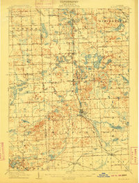
 1907 Howell1959 Print · USGSLivingston County is mapped here in the early twentieth century as a busy rail and agricultural center. Researchers can trace the legacy of rural education and industry through dozens of local sites like Jubb School, Parker Church, and the State Sanitarium.2 unique versions available
 - 1909 Map of Howell
 1909 Howell1909 Print · USGSLivingston County's landscape at the dawn of the century was defined by the crossing of major rail lines and the historic Grand River Road. Genealogists and local historians can trace the early sites of Oak Grove, Parshallyville, and the State Sanitarium.2 unique versions available
 - 1909 Map of Milford
 1909 Milford1909 Print · USGSIn the decade before the automobile era, this area of Oakland County was a patchwork of lakefront settlements and busy rail junctions. Genealogists can trace family footprints near Spring Mills or rural landmarks like the Remington Church and Kenny School.4 unique versions available
 - 1954 Map of Detroit
 1954 Detroit1954 Print · USGSThe Detroit metro and its Ontario neighbors are shown at the height of the mid-century industrial era, just as the suburbs were rapidly expanding. Researchers can trace the massive rail networks of the Wabash Railroad or locate landmarks like Grosse Ile and Selfridge Air Force Base.
 - 1961 Map of Detroit, 1973 Print
 1961 Detroit1973 Print · USGSThe international border between Michigan and Ontario was a bustling industrial corridor in the early sixties. Researchers can trace the transit networks and riverfront infrastructure connecting Detroit to Windsor via the Detroit-Windsor Tunnel and major air hubs like Willow Run Airport.2 unique versions available
 - 1965 Map of Detroit
 1965 Detroit1965 Print · USGSThe industrial corridor between Michigan and Ontario is captured here at mid-century, showing the dense rail and river networks of the Great Lakes. Local historians can trace the paths of the Grand Trunk Western RR and locate key landmarks like Selfridge Air Force Base and Grosse Ile.
 - 1968 Map of Brighton, 1970 Print
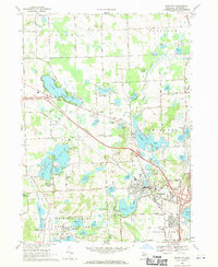 1968 Brighton1970 Print · USGSLivingston County in the late sixties reveals a landscape of lakeside communities and growing recreational hubs. Genealogists and local historians can trace family markers at Chilson Cem, locate the old Birkenstock Sch, or study the rail operations of the Chesapeake and Ohio.3 unique versions available
 - 1968 Map of Kent Lake, 1970 Print
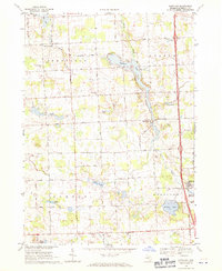
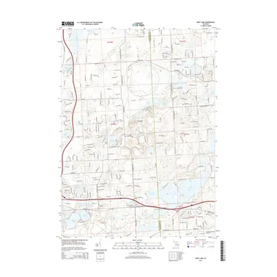
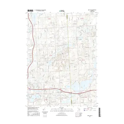
 1968 Kent Lake1970 Print · USGSLivingston and Oakland Counties are shown during a period of significant recreational development in the late sixties. Genealogists and local researchers can trace the Chesapeake and Ohio rail line, Brighton Cemetery, and the School Lake School.6 unique versions available
 - 1968 Map of Hartland, 1971 Print
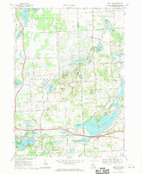
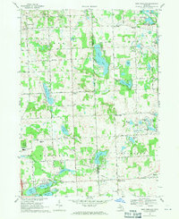
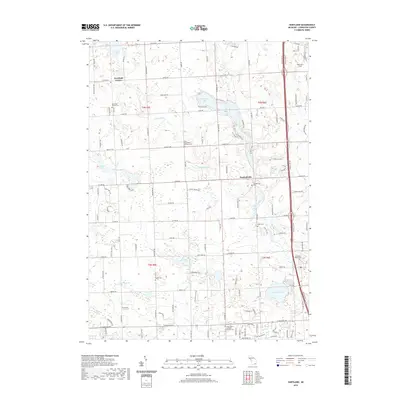
 1968 Hartland1971 Print · USGSLivingston County in the late sixties shows a landscape of small agricultural settlements and rising recreational use. Genealogists can locate family sites at Deerfield Center Cem and Smith Cem, or trace the mill history at Hartland Millpond.2 unique versions available
 - 1968 Map of West Highland, 1971 Print
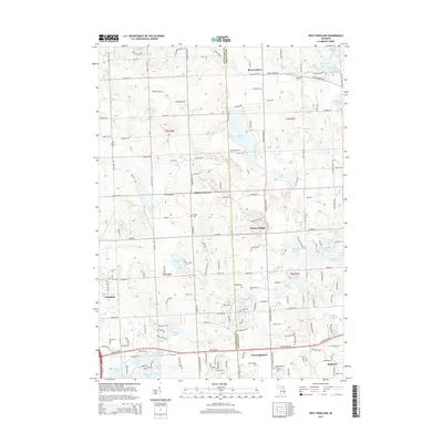
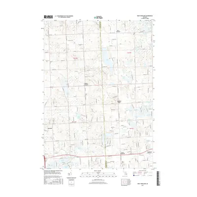
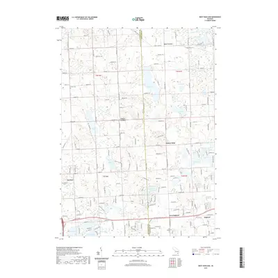
 1968 West Highland1971 Print · USGSLivingston and Oakland counties are captured here in the late sixties, a landscape of family farms and emerging lakefront camps. Genealogists and local historians can trace the sites of Beebe Cem, Tyrone Center, and the Hartland Millpond during this period of growth.3 unique versions available
 - 1985 Map of Pontiac
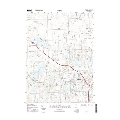
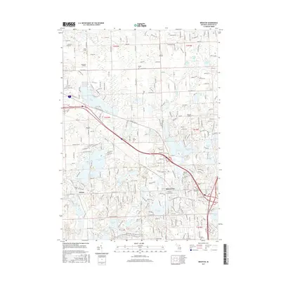
 1985 Pontiac1985 Print · USGSSoutheast Michigan in the mid-1980s shows a landscape of growing suburban corridors and expansive public parklands. Genealogists and local historians can trace the footprint of rail lines like the Grand Trunk Western or locate family sites near Oakwood Cem and White Chapel Cem.2 unique versions available
 - 2011 Map of Brighton, 2011 Print
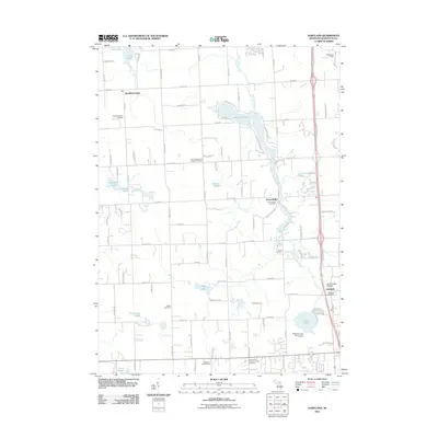
 2011 Brighton2011 Print · USGSCovers Hartland Township, including Hamburg Township, Genoa Charter Township, and other nearby areas
 - 2011 Map of West Highland, 2011 Print
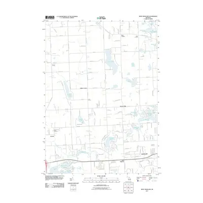 2011 West Highland2011 Print · USGSCovers Hartland Township, including Highland Charter Township, Tyrone Township, and other nearby areas
 - 2011 Map of Hartland, 2011 Print
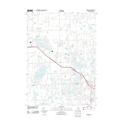
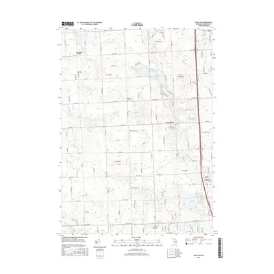
 2011 Hartland2011 Print · USGSCovers Hartland Township, including Oceola Township, Tyrone Township, and other nearby areas
 - 2011 Map of Kent Lake, 2011 Print
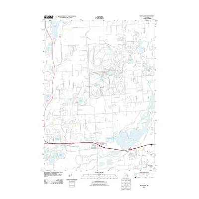 2011 Kent Lake2011 Print · USGSCovers Hartland Township, including Lyon Charter Township, Green Oak Charter Township, and other nearby areas
 - 2014 Map of Kent Lake, 2014 Print
 2014 Kent Lake2014 Print · USGSCovers Hartland Township, including Lyon Charter Township, Green Oak Charter Township, and other nearby areas
 - 2014 Map of Hartland, 2014 Print
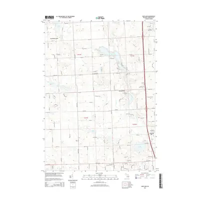 2014 Hartland2014 Print · USGSCovers Hartland Township, including Oceola Township, Tyrone Township, and other nearby areas
 - 2014 Map of Brighton, 2014 Print
 2014 Brighton2014 Print · USGSCovers Hartland Township, including Hamburg Township, Genoa Charter Township, and other nearby areas
 - 2014 Map of West Highland, 2014 Print
 2014 West Highland2014 Print · USGSCovers Hartland Township, including Highland Charter Township, Tyrone Township, and other nearby areas
 - 2017 Map of Kent Lake, 2017 Print
 2017 Kent Lake2017 Print · USGSCovers Hartland Township, including Lyon Charter Township, Green Oak Charter Township, and other nearby areas
 - 2017 Map of West Highland, 2017 Print
 2017 West Highland2017 Print · USGSCovers Hartland Township, including Highland Charter Township, Tyrone Township, and other nearby areas
 - 2017 Map of Brighton, 2017 Print
 2017 Brighton2017 Print · USGSCovers Hartland Township, including Hamburg Township, Genoa Charter Township, and other nearby areas
 - 2017 Map of Hartland, 2017 Print
 2017 Hartland2017 Print · USGSCovers Hartland Township, including Oceola Township, Tyrone Township, and other nearby areas
 - 2019 Map of West Highland, 2019 Print
 2019 West Highland2019 Print · USGSCovers Hartland Township, including Highland Charter Township, Tyrone Township, and other nearby areas
 - 2019 Map of Hartland, 2019 Print
 2019 Hartland2019 Print · USGSCovers Hartland Township, including Oceola Township, Tyrone Township, and other nearby areas
Showing maps 1-25 of 31
Top cities near Hartland Township
- Novi historical maps
- Commerce Charter Township historical maps
- Northville Charter Township historical maps
- White Lake Charter Township historical maps
- Lyon Charter Township historical maps
- Hamburg Township historical maps
See more
Top neighborhoods of Hartland Township
Frequently asked questions
- What are the different types of historical maps available for Hartland Township?
- What is the oldest map of Hartland Township?
- Where can I purchase historical maps of Hartland Township for my home or office?
- Where can I download high-res historical maps of Hartland Township?
- Are there historical topographic maps available for Hartland Township?
- Is there historical aerial imagery available for Hartland Township?
- Where are historical maps of Hartland Township sourced from?