Old Maps of Lakefield Township, Michigan for Metal Detecting
Plan your next treasure hunt with 45 historic maps of Lakefield Township. Find old homesites, ghost towns, trails, and gathering spots that may be lost to time — perfect for identifying promising metal detecting locations.
- Locate forgotten sites: Uncover places like long-lost settlements, abandoned rail lines, or gathering spots.
- Plan better hunts: Use map overlays combined with LiDAR or satellite views to narrow in on historically rich areas.
- Made for detectorists: Thousands of hobbyists use these maps to discover relics, coins, and hidden history.
Use these historic maps to boost your research and find new opportunities beneath the surface of Lakefield Township.
Lakefield Township, MI maps
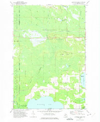
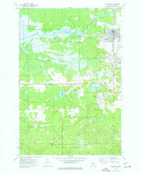
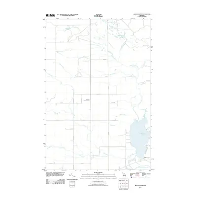
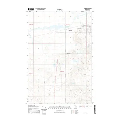
(45)- 1931 Map of Gould City NE
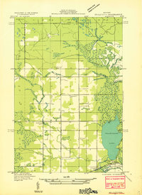 1931 Gould City NE1931 Print · USGSMackinac County's Upper Peninsula landscape in the early thirties shows a network of rural schoolhouses and emerging lakeside recreation. Genealogists and historians can locate family-named landmarks like Elsner Sch or the Millecoquins Lake Resort near the Greylock Spur.
 - 1931 Map of Gould City NW
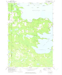
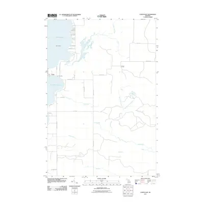
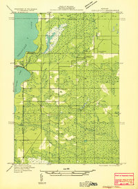 1931 Gould City NW1931 Print · USGSThe northern reaches of Mackinac County were undergoing a period of industrial and transit transition during the early thirties. Local historians can trace the paths of the Logging RR and State Highway No 135, or locate family roots at Sandtown Cem and Finley Sch.
 - 1931 Map of Seney SE
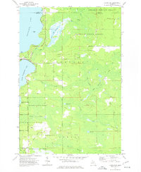
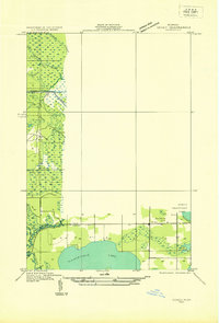 1931 Seney SE1931 Print · USGSThe Upper Peninsula lake country at the start of the 1930s reveals a wilderness defined by its massive waterways and isolated settlements. Genealogists and researchers can trace the rail-and-road corridor of State Highway No 28 and the D S S and A near the Smithers Sch.
 - 1931 Map of Blaney NE
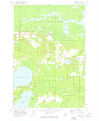
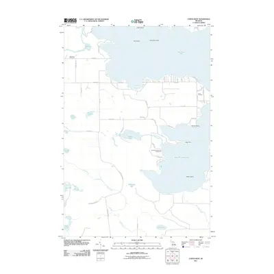
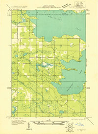 1931 Blaney NE1931 Print · USGSMackinac County’s interior lake country is captured in the early 1930s, showing a wild landscape of timber and wetlands across the Upper Peninsula. Researchers can trace the sprawling bounds of Cranberry Marsh and the undisturbed shorelines of Manistique Lake and Whitefish Lake.
 - 1954 Map of Sault Sainte Marie, 1979 Print
 1954 Sault Sainte Marie1979 Print · USGSThe Eastern Upper Peninsula and Ontario borderlands are captured here at the height of the mid-century era. Family historians can trace settlements like Grand Marais and Stalwart, while mapping the strategic grounds of Kincheloe AFB.3 unique versions available
 - 1956 Map of Sault Sainte Marie, 1964 Print
 1956 Sault Sainte Marie1964 Print · USGSThe Eastern Upper Peninsula and the Canadian border meet in this mid-sixties survey of the bustling Soo Locks region. Genealogists and historians can trace the paths of the Soo Line and locate lakeside communities from Grand Marais to Shelldrake.2 unique versions available
 - 1957 Map of Sault Sainte Marie
 1957 Sault Sainte Marie1957 Print · USGSThe Upper Peninsula and Ontario border come alive in this mid-century portrait of the eastern Lake Superior shoreline and the vital St. Marys River corridor. Genealogists and historians can trace rail-era settlements from Newberry to Detour, while locating military landmarks like Kinross Air Force Base.
 - 1958 Map of Sault Sainte Marie
 1958 Sault Sainte Marie1958 Print · USGSThe eastern Upper Peninsula and the Canadian borderland appear here during the late fifties, a time of military growth and forest management. Researchers can locate vanished rail stops along the Soo Line, early sites like the Fiborn Quarry, and the sprawling Kinross Air Force Base.
 - 1972 Map of Hardwood Island, 1975 Print
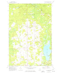
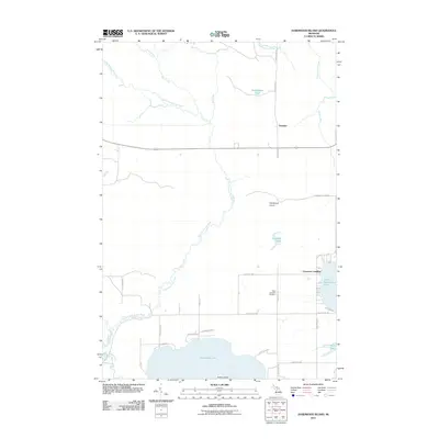
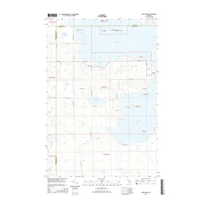
 1972 Hardwood Island1975 Print · USGSLuce and Schoolcraft counties are shown in the early 1970s, a landscape defined by the vast northern forests and the clear shores of the Manistique lakes. Genealogists and historians can locate the West Lakefield Cem, the Soo Line rail stops at Danaher, and the landings along North Manistique Lake.2 unique versions available
 - 1972 Map of Curtis West, 1975 Print
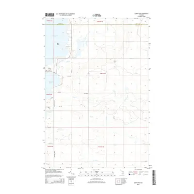
 1972 Curtis West1975 Print · USGSMackinac County's lakeland region comes into focus during the early seventies, showing the gateway between the Manistique Lakes. Genealogists and historians can trace the Old Railroad Grade, find the Sandpit Cem, and explore the settlement of Curtis.
 - 1973 Map of Curtis East, 1977 Print
 1973 Curtis East1977 Print · USGSUpper Peninsula timberlands and lakefronts meet in the 1970s as the town of Curtis sits between two major lakes. Genealogists and historians can trace the Old Railroad Grade or locate the Sandtown Cemetery and Wildwood Church.
 - 1973 Map of McMillan, 1977 Print
 1973 McMillan1977 Print · USGSUpper Peninsula timber and lakeside life intersect in the 1970s as the railroad connects small settlements like McMillan and Laketon. Researchers can trace local heritage through the Lakefield Ch and multiple burial sites like the Old East Lakefield Cem.
 - 1973 Map of Newberry, 1977 Print
 1973 Newberry1977 Print · USGSNewberry and its neighboring timber settlements are captured in the mid-seventies, showing the village alongside the extensive Tahquamenon River State Forest. Researchers can trace the Old Railroad Grade and locate local landmarks like the Newberry State Hosp and Pentland Sch.
 - 1973 Map of Millecoquins, 1977 Print
 1973 Millecoquins1977 Print · USGSMackinac County's forested lake country is documented here during the early seventies, showing the intersection of timber management and rural settlement. Researchers can locate the Bethlehem Ch, the Soo Line tracks, and family-named landmarks like McAlpine Pond and Kelvey.
 - 1985 Map of Manistique Lake
 1985 Manistique Lake1985 Print · USGSThe eastern Upper Peninsula’s wilderness and rail-side villages are captured here in the mid-1980s, from the Soo Line corridor to the Lake Michigan shore. Genealogists and historians can trace the foundations of local life in Newberry, Engadine, and Seney, alongside industrial landmarks like the Calspar Quarry Pool.2 unique versions available
 - 2011 Map of Newberry, 2011 Print
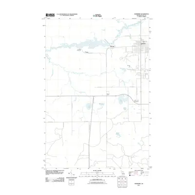 2011 Newberry2011 Print · USGSCovers Lakefield Township, including Newberry, Columbus Township, and other nearby areas
 - 2011 Map of McMillan, 2011 Print
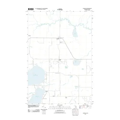 2011 McMillan2011 Print · USGSCovers Lakefield Township, including McMillan Township, Columbus Township, and other nearby areas
 - 2011 Map of Millecoquins, 2011 Print
 2011 Millecoquins2011 Print · USGSCovers Lakefield Township, including Newton Township, Garfield Township, and other nearby areas
 - 2011 Map of Curtis East, 2011 Print
 2011 Curtis East2011 Print · USGSCovers Lakefield Township, including Newton Township, Portage Township, and other nearby areas
 - 2011 Map of Curtis West, 2011 Print
 2011 Curtis West2011 Print · USGSCovers Lakefield Township, including Newton Township, Germfask Township, and other nearby areas
 - 2011 Map of Hardwood Island, 2011 Print
 2011 Hardwood Island2011 Print · USGSCovers Lakefield Township, including Germfask Township, Columbus Township, and other nearby areas
 - 2014 Map of Newberry, 2014 Print
 2014 Newberry2014 Print · USGSCovers Lakefield Township, including Newberry, Columbus Township, and other nearby areas
 - 2014 Map of Curtis East, 2014 Print
 2014 Curtis East2014 Print · USGSCovers Lakefield Township, including Newton Township, Portage Township, and other nearby areas
 - 2014 Map of Curtis West, 2014 Print
 2014 Curtis West2014 Print · USGSCovers Lakefield Township, including Newton Township, Germfask Township, and other nearby areas
 - 2014 Map of Millecoquins, 2014 Print
 2014 Millecoquins2014 Print · USGSCovers Lakefield Township, including Newton Township, Garfield Township, and other nearby areas
Showing maps 1-25 of 45
Top cities near Lakefield Township
- McMillan Township historical maps
- Newberry historical maps
- Germfask historical maps
- Seney historical maps
Top neighborhoods of Lakefield Township
- Helmer historical maps
- Marks historical maps
- McMillan Corner historical maps
- Carpenter Landing historical maps
Frequently asked questions
- What are the different types of historical maps available for Lakefield Township?
- What is the oldest map of Lakefield Township?
- Where can I purchase historical maps of Lakefield Township for my home or office?
- Where can I download high-res historical maps of Lakefield Township?
- Are there historical topographic maps available for Lakefield Township?
- Is there historical aerial imagery available for Lakefield Township?
- Where are historical maps of Lakefield Township sourced from?