Old Maps of Garnet, Michigan for Academic Research
Study the evolution of Garnet with 12 high-resolution historic maps. Whether you're teaching, researching, or modeling changes in land use, these maps provide essential visual documentation of urban, environmental, and geographic change.
- Analyze long-term change: Track patterns in development, transportation, and natural features.
- Ideal for environmental or urban studies: Support academic projects with primary historical map data.
- Use in the classroom or lab: Educators and researchers rely on these maps to bring historical context to life.
These maps are a powerful tool for teaching, research, and visualizing how Garnet has changed over the decades.
Garnet, MI maps
(12)- 1931 Map of Gilchrist NE
 1931 Gilchrist NE1931 Print · USGSMackinac County's timber and rail landscape is frozen in time during the early 1930s, centered on the settlement of Garnet. Genealogists and local historians can trace the foundations of the community at Maplewood Cem and the industrial footprint of the Hendricks Quarry.2 unique versions available
 - 1954 Map of Sault Sainte Marie, 1979 Print
 1954 Sault Sainte Marie1979 Print · USGSThe Eastern Upper Peninsula and Ontario borderlands are captured here at the height of the mid-century era. Family historians can trace settlements like Grand Marais and Stalwart, while mapping the strategic grounds of Kincheloe AFB.3 unique versions available
 - 1956 Map of Sault Sainte Marie, 1964 Print
 1956 Sault Sainte Marie1964 Print · USGSThe Eastern Upper Peninsula and the Canadian border meet in this mid-sixties survey of the bustling Soo Locks region. Genealogists and historians can trace the paths of the Soo Line and locate lakeside communities from Grand Marais to Shelldrake.2 unique versions available
 - 1957 Map of Sault Sainte Marie
 1957 Sault Sainte Marie1957 Print · USGSThe Upper Peninsula and Ontario border come alive in this mid-century portrait of the eastern Lake Superior shoreline and the vital St. Marys River corridor. Genealogists and historians can trace rail-era settlements from Newberry to Detour, while locating military landmarks like Kinross Air Force Base.
 - 1958 Map of Sault Sainte Marie
 1958 Sault Sainte Marie1958 Print · USGSThe eastern Upper Peninsula and the Canadian borderland appear here during the late fifties, a time of military growth and forest management. Researchers can locate vanished rail stops along the Soo Line, early sites like the Fiborn Quarry, and the sprawling Kinross Air Force Base.
 - 1973 Map of Garnet, 1977 Print
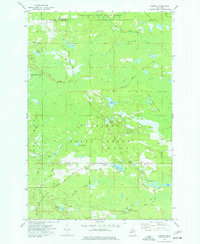 1973 Garnet1977 Print · USGSMackinac County's timber and rail history is preserved in this mid-century survey of the Mackinac State Forest and the village of Garnet. Researchers can trace old transportation corridors like the Old RR Grade and find local landmarks such as Maplewood Cem and the Garnet Lake Campground.
 - 1985 Map of Manistique Lake
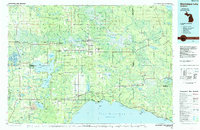 1985 Manistique Lake1985 Print · USGSThe eastern Upper Peninsula’s wilderness and rail-side villages are captured here in the mid-1980s, from the Soo Line corridor to the Lake Michigan shore. Genealogists and historians can trace the foundations of local life in Newberry, Engadine, and Seney, alongside industrial landmarks like the Calspar Quarry Pool.2 unique versions available
 - 2011 Map of Garnet, 2011 Print
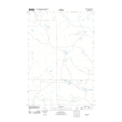 2011 Garnet2011 Print · USGSGarfield Township in the Upper Peninsula is shown here during the early twenty-first century as a quiet landscape of forest and water. Researchers can locate the Garnet settlement and trace family names at Maplewood Cemetery or explore the shores of Big Dollar Lake and Garnet Lake.
 - 2014 Map of Garnet, 2014 Print
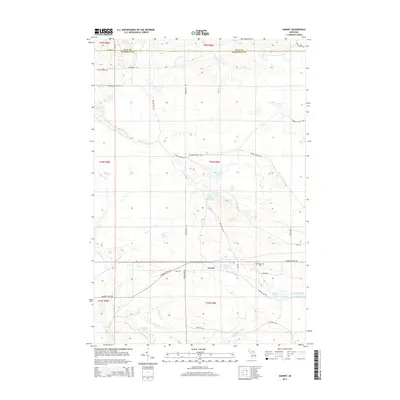 2014 Garnet2014 Print · USGSGarnet and the surrounding Garfield Township wetlands are captured here in the early twenty-first century. Genealogists and local historians can locate the Maplewood Cem and trace old logging routes like Giddings Truck Trl near Garnet Lake.
 - 2017 Map of Garnet, 2017 Print
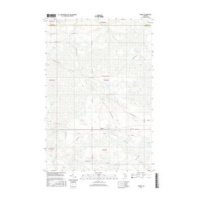 2017 Garnet2017 Print · USGSMackinac County's forested interior is captured here in the mid-2010s, centered on the settlement of Garnet. Genealogists and local historians can locate Maplewood Cem and trace the many forest routes like Old Hendricks Truck Trl and Hiawatha Trl.
 - 2019 Map of Garnet, 2019 Print
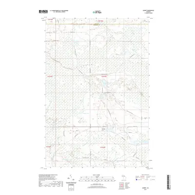 2019 Garnet2019 Print · USGSThe Garnet area of Mackinac County is shown in this recent survey as a landscape of interconnected marshes and lakes. Researchers can locate the Maplewood Cem or trace rural routes like the Dollar Lake Truck Trl past Big Dollar Lake.
 - 2023 Map of Garnet, 2023 Print
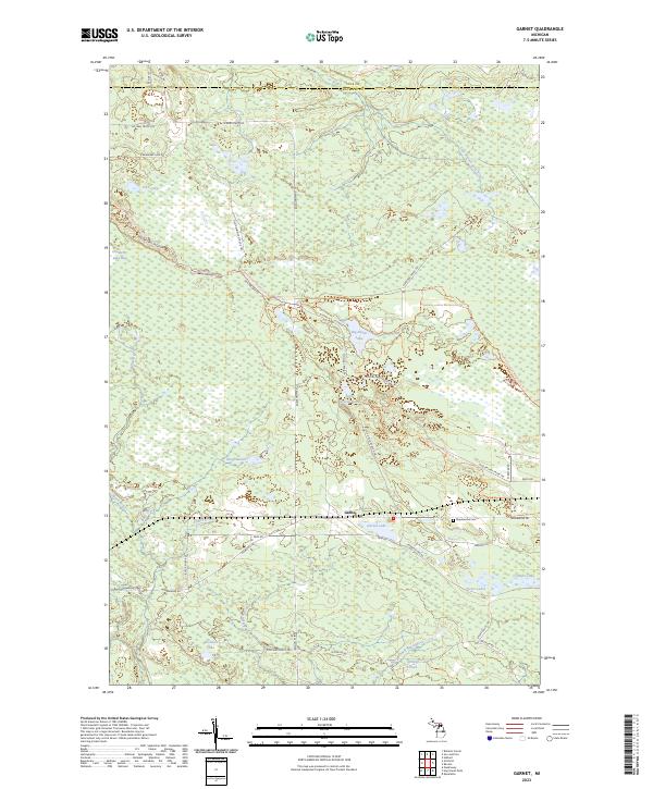 2023 Garnet2023 Print · USGSMackinac County in the early twenty-first century reveals a landscape shaped by water and timber trails. Genealogists and local historians can trace the area around Garnet and Maplewood Cem, or explore the backcountry roads near Big Dollar Lake.
End of results
Showing maps 1-12 of 12
Top cities near Garnet
Frequently asked questions
- What are the different types of historical maps available for Garnet?
- What is the oldest map of Garnet?
- Where can I purchase historical maps of Garnet for my home or office?
- Where can I download high-res historical maps of Garnet?
- Are there historical topographic maps available for Garnet?
- Is there historical aerial imagery available for Garnet?
- Where are historical maps of Garnet sourced from?