
1954 Map of Sault Sainte Marie
USGS Topo · Published 1979About this map
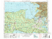
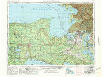
Sault Sainte Marie and the eastern Upper Peninsula are documented here during a period of significant military and industrial presence in the mid-1950s. The map captures the international border along the St Marys River, where the Soo Line and Canadian Pacific railroads converge to manage the flow of trade between the Great Lakes. The transition from remote timberlands to strategic cold-war hubs is visible in the presence of Kincheloe AFB alongside established tribal lands like the Bay Mills Indian Reservation.
Find a feature on this map
112 named features on this map. Tap any name to fly to it.
Don’t see what you’re looking for? This feature index may not catch every label — zoom into the map to look around manually.
Map Details
Editions of this 1954 Sault Sainte Marie Map
3 editions found
Other maps of this area

1913 · Sault Sainte Marie
USGS Topo · 1:62,500

1919 · Neebish
USGS Topo · 1:62,500

1931 · St Ignace NW
USGS Topo · 1:31,680

1931 · Seney SW
USGS Topo · 1:31,680

1931 · Seney NW
USGS Topo · 1:31,680

1931 · Pickford SE
USGS Topo · 1:31,680

1931 · Epoufette SE
USGS Topo · 1:31,680

1931 · Manistique River NE
USGS Topo · 1:31,680

1931 · Driggs Lake NE
USGS Topo · 1:31,680

1931 · Gould City NE
USGS Topo · 1:31,680