2020s Maps of Marquette County, Michigan
Explore 57 historic maps of Marquette County from the 2020s. These maps offer a rare glimpse into what life looked like during the 2020s — showing old roads, neighborhoods, homes, and landmarks that have changed or disappeared over time.
Whether you're researching your family's past, planning a metal detecting trip, or studying how Marquette County's landscape evolved across the 2020s, these high-resolution maps are a powerful tool for exploring the history of this region.
- Focus on a specific era: All maps on this page are from the 2020s, giving you a focused view of this time period.
- See what’s changed: Compare century-old streets, trails, and buildings to today's modern landscape using overlays and satellite layers.
- Research with precision: Use these maps for genealogy, historical research, land use analysis, or educational projects.
- View, download, or print: Maps are fully viewable online in high resolution, and can be downloaded or printed for your own records.
Start exploring Marquette County's history through authentic maps from the 2020s. This is your window into the past.
Marquette County, MI maps
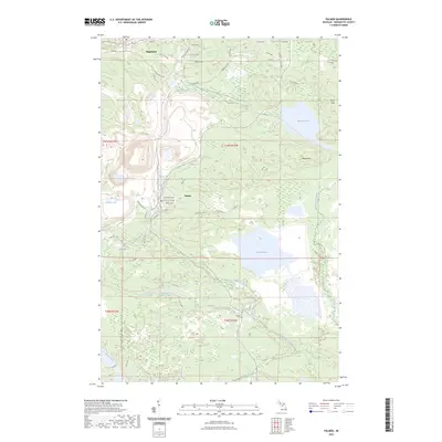
(57)- 2023 Map of Helps, 2023 Print
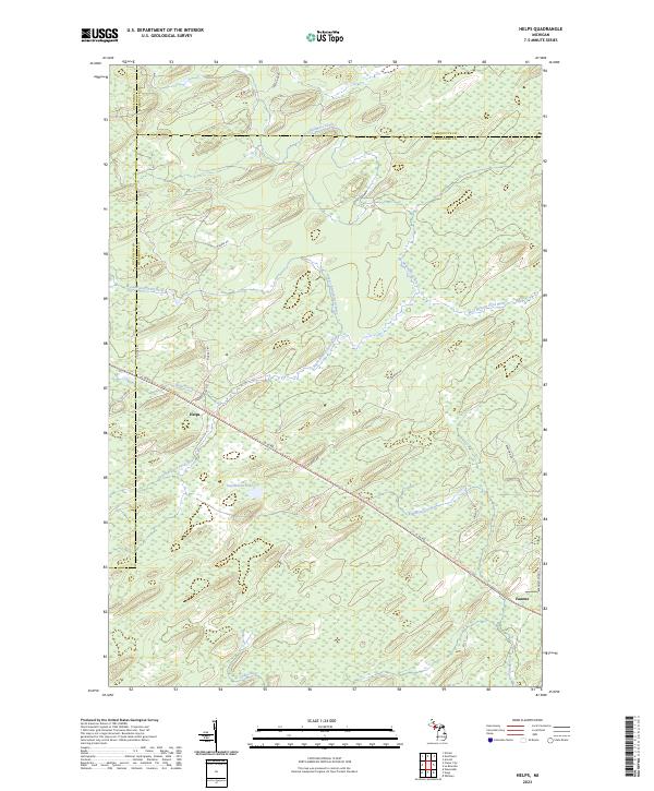 2023 Helps2023 Print · USGSUpper Peninsula timberlands and river forks come into focus in this contemporary survey of the Menominee County interior. Researchers can trace historic transportation lines like the Felch Grade Route/Trl and find old settlement markers at Helps and Faunus.
 - 2023 Map of La Branche, 2023 Print
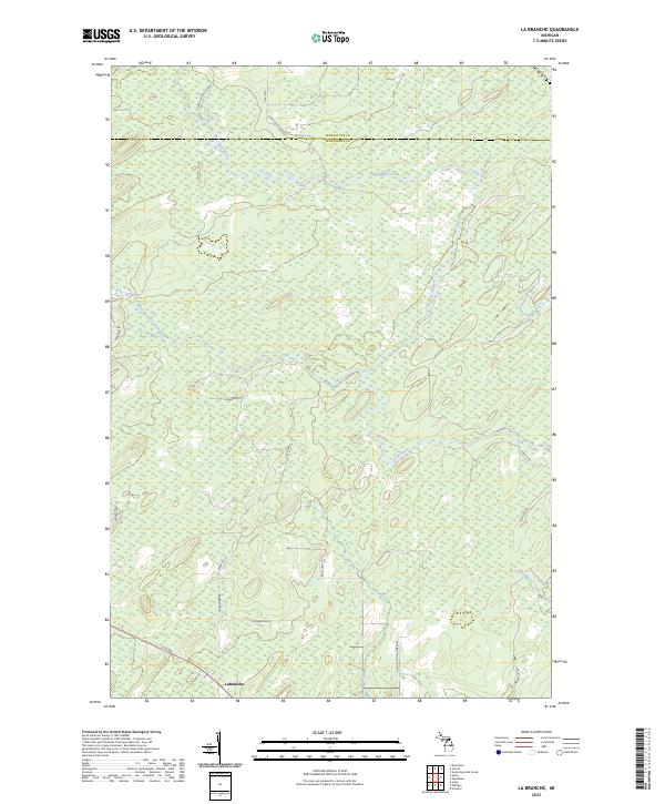 2023 La Branche2023 Print · USGSThe Upper Peninsula timberlands near the Menominee and Marquette border are mapped in detail here. Genealogists can trace family-named routes like Pach Lane F 1 and Zawacki Lane D1 near the settlement of Labranche.
 - 2023 Map of Champion, 2023 Print
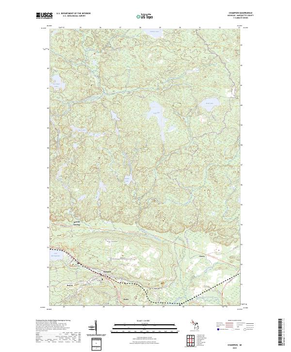 2023 Champion2023 Print · USGSThe iron mining country of Marquette County comes into focus in the early twenty-first century, showing the established communities of Champion and Beacon. Researchers can trace local heritage sites like Sacred Heart Cem and the route of the Iron Ore Heritage Trl near Lake Michigamme.
 - 2023 Map of Northland NE, 2023 Print
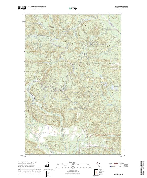
 2023 Northland NE2023 Print · USGSThe wilderness of Marquette and Dickinson counties comes alive in this 2020s survey of the Upper Peninsula backcountry. Researchers can trace the winding West Branch Escanaba River and find named forest routes like Ross Grade and Perrin Brothers Trl.
 - 2023 Map of Gwinn, 2023 Print
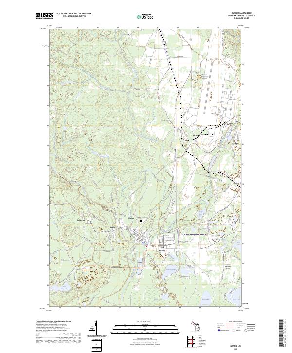 2023 Gwinn2023 Print · USGSMarquette County’s Upper Peninsula landscape comes alive in this survey of the Escanaba River country. Genealogists and historians can trace the streets of Gwinn, locate the Gwinn Cem, or explore the sprawling grounds of K. I. Sawyer.
 - 2023 Map of Arnold, 2023 Print
 2023 Arnold2023 Print · USGSMarquette County's southern interior is documented here in recent years, showing the quiet transition of old timber and river settlements. Genealogists and local historians can locate the Forest Home Cem and the small rural hubs of Arnold and Watson.
 - 2023 Map of Palmer, 2023 Print
 2023 Palmer2023 Print · USGSMarquette County's iron-mining heartland is shown in high detail during the early twenty-first century, centered on the settlement of Palmer. Researchers can trace the massive footprint of the Empire Mine alongside local landmarks like Negaunee Cem and the waters of Lake Gribben.
 - 2023 Map of Marquette NW, 2023 Print
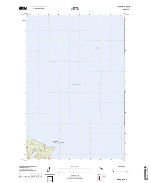 2023 Marquette NW2023 Print · USGSMarquette County's shoreline and offshore islands are documented here in the early 2020s, showing a landscape defined by water and woods. Hikers and local historians can trace the North Country National Scenic Tr as it winds past Little Presque Isle and Harlow Creek.
 - 2023 Map of Buckroe, 2023 Print
 2023 Buckroe2023 Print · USGSMarquette County's shoreline and wilderness are documented in this contemporary survey of the Lake Superior coast. Researchers can trace historical access via Gold Mine Rd and locate landmarks like Little Garlic Falls and the settlement of Birch.
 - 2023 Map of Negaunee NW, 2023 Print
 2023 Negaunee NW2023 Print · USGSMarquette County's northern wilderness is shown in the early twenty-first century, where water and trail networks define the land. Trace the path of the North Country National Scenic Trl and find remote landmarks like Yellow Dog River Falls or the waters of Regan Lake.
 - 2023 Map of Sands, 2023 Print
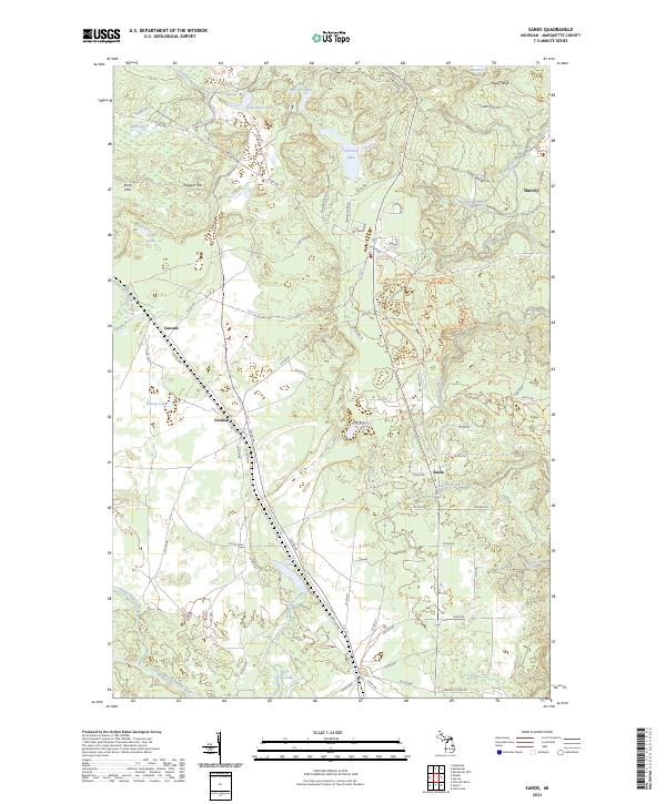 2023 Sands2023 Print · USGSMarquette County in the early 2020s shows a landscape of modern settlement interwoven with outdoor recreation. Researchers can trace the development of Sands and Harvey, or follow trails like the Blueberry Ridge Pathway Trl past landmarks like Strawberry Lake and Migisy Bluff.
 - 2023 Map of Swimming Hole Creek, 2023 Print
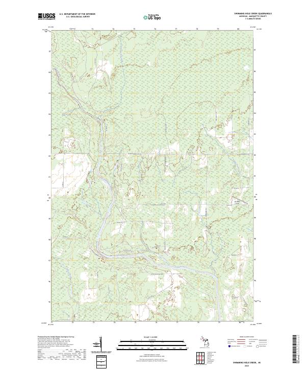 2023 Swimming Hole Creek2023 Print · USGSMarquette County’s Upper Peninsula landscape is captured here in the early twenty-first century, centered on the winding Escanaba River. You can trace rural access routes and named clearings like Van Effen Field or follow the paths of Swimming Hole Creek and Hunter's Brook.
 - 2023 Map of Granite Point, 2023 Print
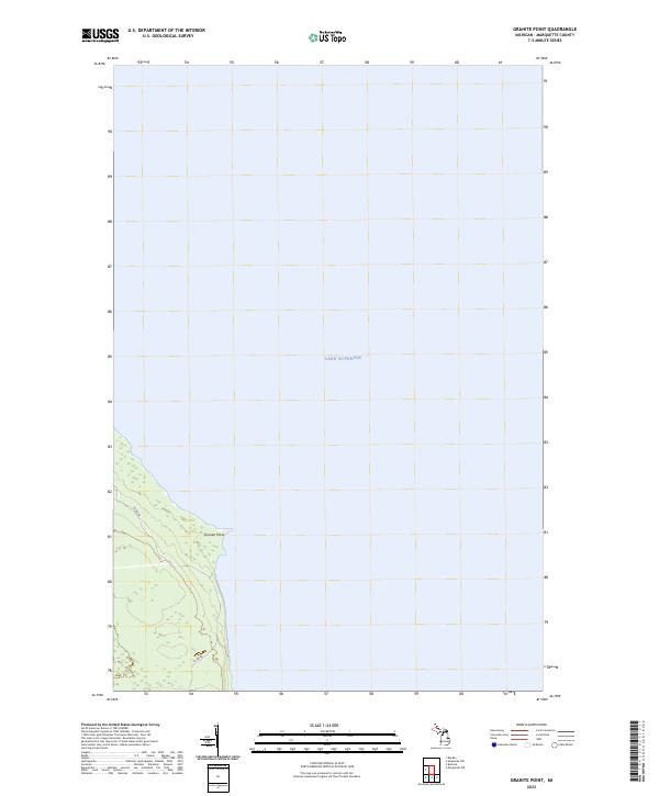 2023 Granite Point2023 Print · USGSThe Marquette County shoreline meets the expanse of the Great Lakes in this modern survey. Researchers can trace the coastal access provided by Co Rd KB and identify the precise land divisions near the prominent Granite Point along Lake Superior.
 - 2023 Map of Chabeneau Lake, 2023 Print
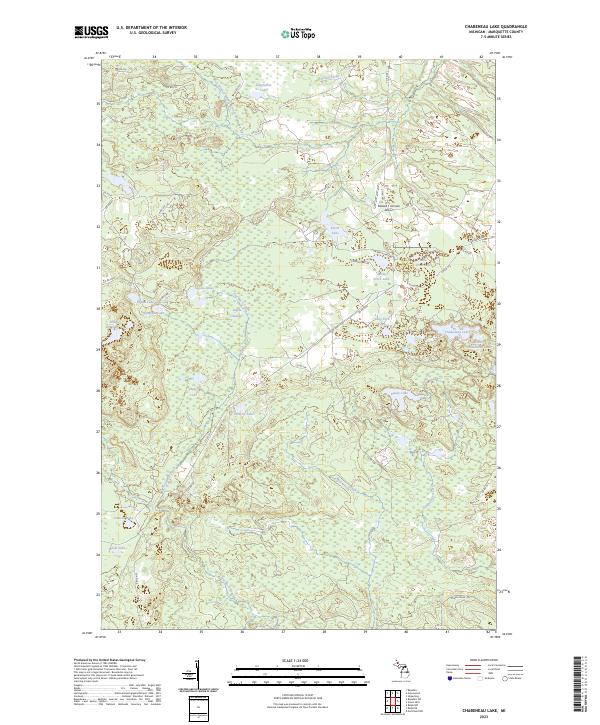 2023 Chabeneau Lake2023 Print · USGSMarquette County's interior is captured here in the early 2020s, showing a landscape defined by the West Branch Middle Branch Escanaba River and its surrounding wetlands. Researchers can locate remote landmarks like the Edward F Johnson Airport and numerous glacial waters including Chabeneau Lake and Sagola Lakes.
 - 2023 Map of Witch Lake, 2023 Print
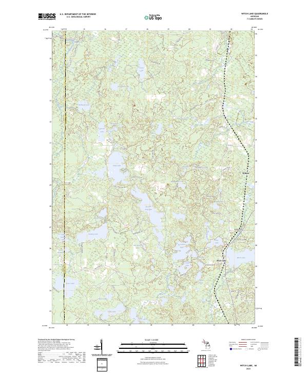 2023 Witch Lake2023 Print · USGSThe Marquette and Iron county line runs through this lake-rich portion of the Upper Peninsula in the 2020s. Researchers can trace the settlement of Witch Lake and explore the remote hydrography near Witbeck, including Chief Lake and the Michigan River.
 - 2023 Map of Anderson Lake, 2023 Print
 2023 Anderson Lake2023 Print · USGSMarquette County's dense timberlands and river systems are documented here in the early twenty-first century. Researchers can trace the complex drainage of the Escanaba River and find isolated camps near Anderson Lake and Cyr Swamp.
 - 2023 Map of Summit Lake, 2023 Print
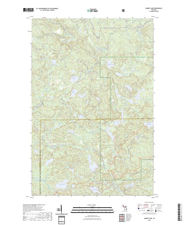 2023 Summit Lake2023 Print · USGSThe northern woods of Baraga and Marquette counties are captured here in the early twenty-first century. Genealogists and hikers can trace old logging routes like the Huron Bay Grade and explore the remote McCormick Wilderness.
 - 2023 Map of Silver Lake Basin, 2023 Print
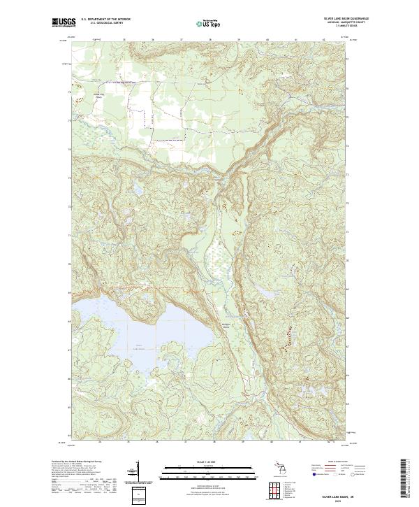 2023 Silver Lake Basin2023 Print · USGSMarquette County's high wilderness is documented here in the early 2020s, showing the vast hydrological network north of the Silver Lake Basin. Hikers and conservationists can trace the North Country National Scenic Trl past landmarks like Pinnacle Falls and Mulligan Plains.
 - 2023 Map of Cataract Basin, 2023 Print
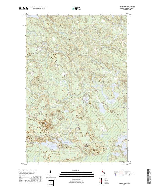 2023 Cataract Basin2023 Print · USGSMarquette County's forested interior is documented here in the early 2020s, showing a landscape of specialized trails and secluded lakes. Researchers can trace local landmarks like Bakkala Cem or navigate the area near Cataract Dam Falls and Shag Lake.
 - 2023 Map of Mountain Lake, 2023 Print
 2023 Mountain Lake2023 Print · USGSThe Huron Mountains take center stage in this 2023 survey of the Michigan backcountry. You can trace the complex network of mountain summits and river systems from Mount Ida and Trout Mountain to the waters of Forty Foot Falls and Lumberman Bay.
 - 2023 Map of Michigamme, 2023 Print
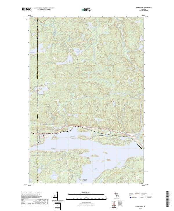 2023 Michigamme2023 Print · USGSUpper Peninsula lake life and northwoods geography converge at Michigamme in this contemporary record of the shoreline and its islands. Genealogists and researchers can locate Lakeview Cem and trace landmarks like Sundstrum Island or the Huron Bay Grade.
 - 2023 Map of Carlshend, 2023 Print
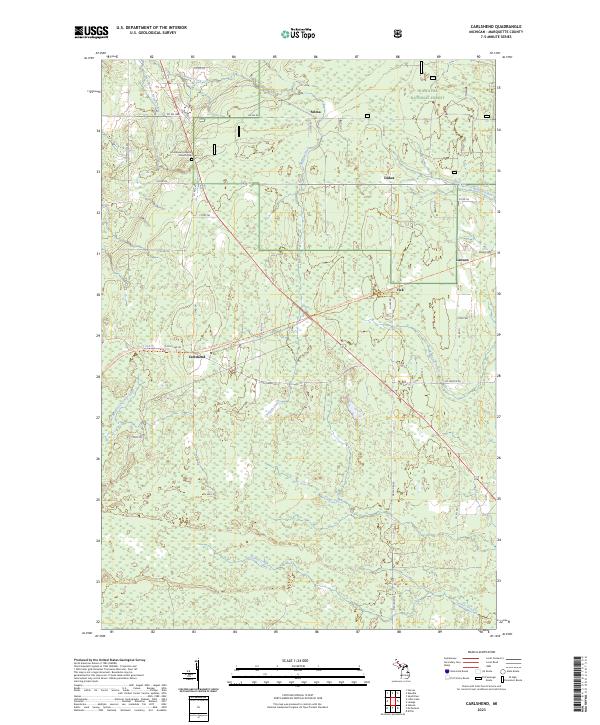 2023 Carlshend2023 Print · USGSMarquette County's rural interior comes into focus here in the early twenty-first century, showcasing a landscape of timberlands and headwaters. Researchers can locate the Emmanuel Lutheran Church Cem and trace old routes through Carlshend, Dukes, and Selma.
 - 2023 Map of Little Lake, 2023 Print
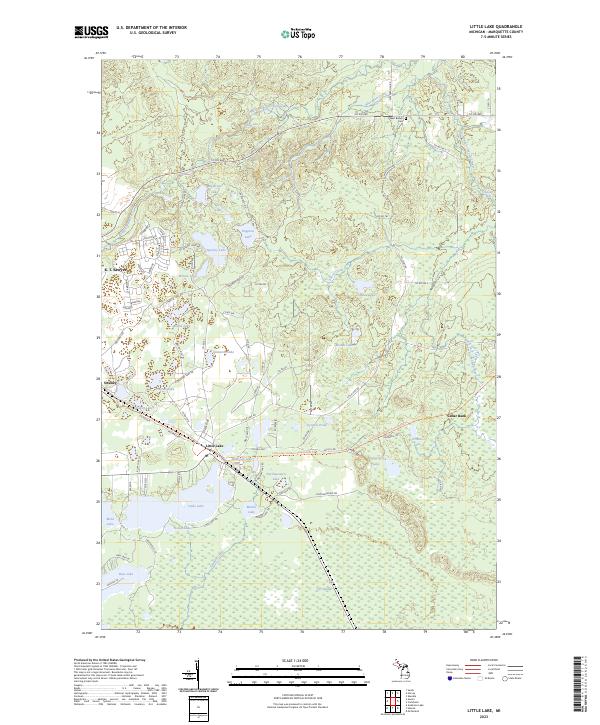 2023 Little Lake2023 Print · USGSMarquette County's forested interior is documented here in recent years, showing the area surrounding the Little Lake and Swanzy settlements. Researchers can trace local landmarks like the West Branch Cem, K. I. Sawyer, and the falls along the West Branch Chocolay River.
 - 2023 Map of Huron Mountain, 2023 Print
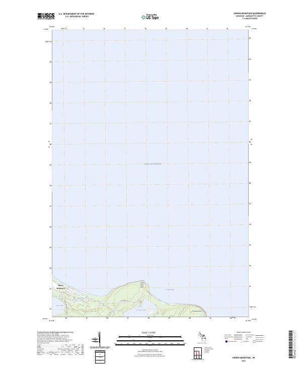 2023 Huron Mountain2023 Print · USGSThe Lake Superior shoreline in Marquette County is shown here in the contemporary era, where private preserves meet the water's edge. Researchers can trace the layout of the Huron Mountain settlement and the surroundings of Conway Lake and Pine Lake.
 - 2023 Map of McComb Corner, 2023 Print
 2023 McComb Corner2023 Print · USGSThe northern wilderness along the Baraga and Marquette county line is defined by the complex river systems of the Huron Mountains. Hikers and cartography enthusiasts can trace the numerous cascades along the West Branch Huron River, including Big Ericks Falls and Letherby Falls.
Showing maps 1-25 of 57
Top cities of Marquette County
Frequently asked questions
- What are the different types of historical maps available for Marquette County?
- What is the oldest map of Marquette County?
- Where can I purchase historical maps of Marquette County for my home or office?
- Where can I download high-res historical maps of Marquette County?
- Are there historical topographic maps available for Marquette County?
- Is there historical aerial imagery available for Marquette County?
- Where are historical maps of Marquette County sourced from?