2000s (21st Century) Maps of Marquette County, Michigan
Explore 285 historic maps of Marquette County from the 2000s (21st Century). These maps offer a rare glimpse into what life looked like during the 2000s — showing old roads, neighborhoods, homes, and landmarks that have changed or disappeared over time.
Whether you're researching your family's past, planning a metal detecting trip, or studying how Marquette County's landscape evolved across the 2000s, these high-resolution maps are a powerful tool for exploring the history of this region.
- Focus on a specific era: All maps on this page are from the 2000s, giving you a focused view of this time period.
- See what’s changed: Compare century-old streets, trails, and buildings to today's modern landscape using overlays and satellite layers.
- Research with precision: Use these maps for genealogy, historical research, land use analysis, or educational projects.
- View, download, or print: Maps are fully viewable online in high resolution, and can be downloaded or printed for your own records.
Start exploring Marquette County's history through authentic maps from the 2000s. This is your window into the past.
Marquette County, MI maps
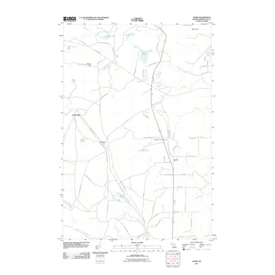
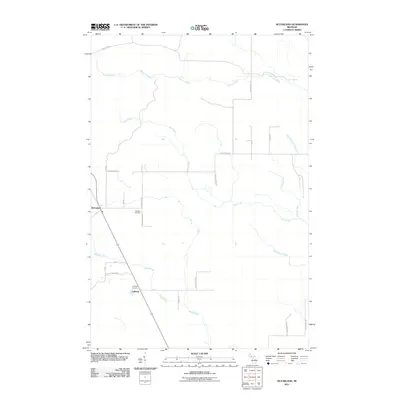
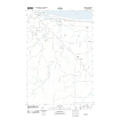
(285)- 2011 Map of Glovers Corner, 2011 Print
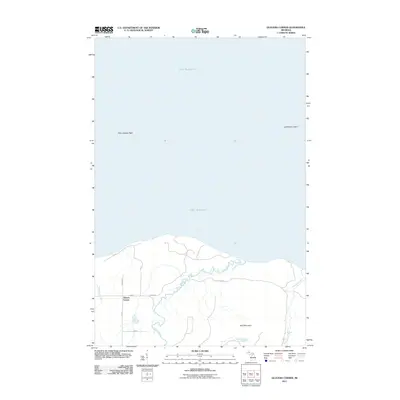 2011 Glovers Corner2011 Print · USGSCovers Marquette County, including Arvon Township, Glovers Corner, and other nearby areas
 - 2011 Map of Marquette OE E, 2011 Print
 2011 Marquette OE E2011 Print · USGSCovers Marquette County, including Marquette, Sands Township, and other nearby areas
 - 2011 Map of Arnold, 2011 Print
 2011 Arnold2011 Print · USGSCovers Marquette County, including Wells Township, Ewing Township, and other nearby areas
 - 2011 Map of Rock, 2011 Print
 2011 Rock2011 Print · USGSCovers Marquette County, including Campbell, Ewing Township, and other nearby areas
 - 2011 Map of Chabeneau Lake, 2011 Print
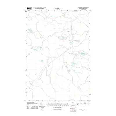 2011 Chabeneau Lake2011 Print · USGSCovers Marquette County, including Humboldt Township, Ely Township, and other nearby areas
 - 2011 Map of Howe Lake, 2011 Print
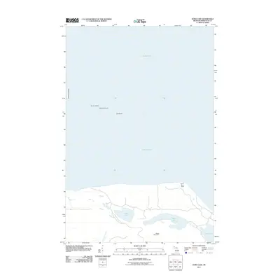 2011 Howe Lake2011 Print · USGSCovers Marquette County, including Powell Township, United States, and other nearby areas
 - 2011 Map of Helena, 2011 Print
 2011 Helena2011 Print · USGSCovers Marquette County, including Turin Township, Forsyth Township, and other nearby areas
 - 2011 Map of Big Bay, 2011 Print
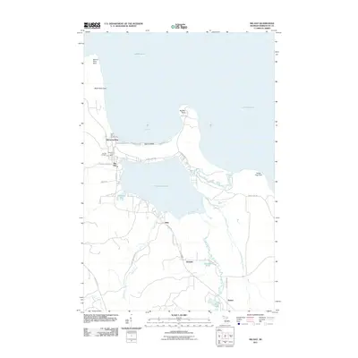 2011 Big Bay2011 Print · USGSCovers Marquette County, including Big Bay, Ishpeming Township, and other nearby areas
 - 2011 Map of Sands, 2011 Print
 2011 Sands2011 Print · USGSCovers Marquette County, including Sands, Sands Township, and other nearby areas
 - 2011 Map of Huron Mountain, 2011 Print
 2011 Huron Mountain2011 Print · USGSCovers Marquette County, including Powell Township, Huron Mountain, and other nearby areas
 - 2011 Map of Granite Point, 2011 Print
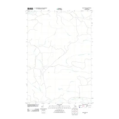
 2011 Granite Point2011 Print · USGSCovers Marquette County, including Powell Township, United States, and other nearby areas
 - 2011 Map of Marquette NW, 2011 Print
 2011 Marquette NW2011 Print · USGSCovers Marquette County, including Marquette Township, United States, and other nearby areas
 - 2011 Map of McFarland, 2011 Print
 2011 McFarland2011 Print · USGSCovers Marquette County, including Lathrop, Skandia Township, and other nearby areas
 - 2011 Map of La Branche, 2011 Print
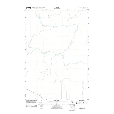 2011 La Branche2011 Print · USGSCovers Marquette County, including Harris Township, LaBranche, and other nearby areas
 - 2011 Map of Woodlawn, 2011 Print
 2011 Woodlawn2011 Print · USGSCovers Marquette County, including Harris Township, Kingsley, and other nearby areas
 - 2011 Map of Helps, 2011 Print
 2011 Helps2011 Print · USGSCovers Marquette County, including Breen Township, Spalding Township, and other nearby areas
 - 2011 Map of Cornell, 2011 Print
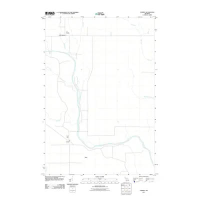 2011 Cornell2011 Print · USGSCovers Marquette County, including Cornell, Saint Nicholas, and other nearby areas
 - 2011 Map of Sand River, 2011 Print
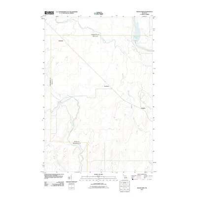
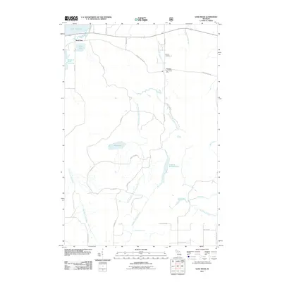 2011 Sand River2011 Print · USGSCovers Marquette County, including Skandia Township, Rock River Township, and other nearby areas
 - 2011 Map of Skandia, 2011 Print
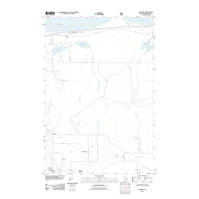 2011 Skandia2011 Print · USGSCovers Marquette County, including Skandia, Skandia Township, and other nearby areas
 - 2011 Map of Republic SW, 2011 Print
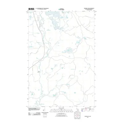 2011 Republic SW2011 Print · USGSCovers Marquette County, including Humboldt Township, Republic Township, and other nearby areas
 - 2011 Map of Ralph NW, 2011 Print
 2011 Ralph NW2011 Print · USGSCovers Marquette County, including Humboldt Township, Turner, and other nearby areas
 - 2011 Map of Michigamme, 2011 Print
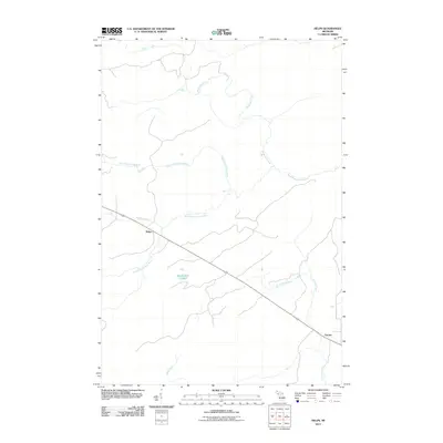
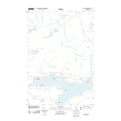 2011 Michigamme2011 Print · USGSCovers Marquette County, including Michigamme, Spurr Township, and other nearby areas
 - 2011 Map of Mountain Lake, 2011 Print
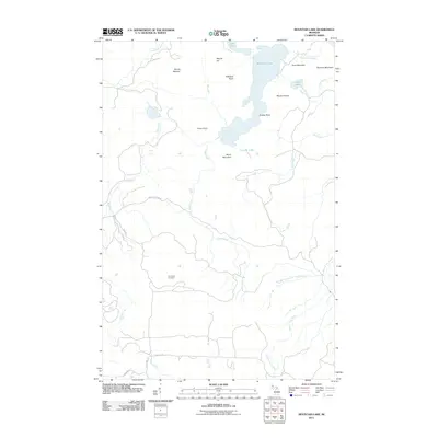 2011 Mountain Lake2011 Print · USGSCovers Marquette County, including L'Anse Township, Powell Township, and other nearby areas
 - 2011 Map of Channing, 2011 Print
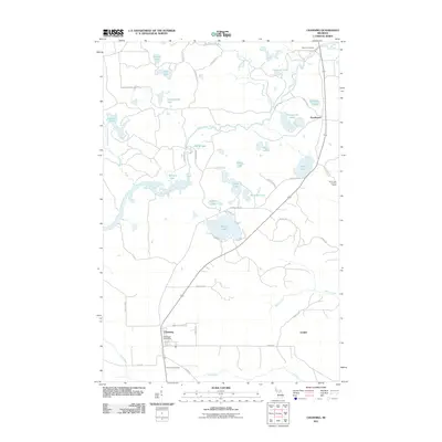 2011 Channing2011 Print · USGSCovers Marquette County, including Mansfield Township, Golden, and other nearby areas
 - 2011 Map of Harvey, 2011 Print
 2011 Harvey2011 Print · USGSCovers Marquette County, including Sands Township, Beaver Grove, and other nearby areas
Showing maps 1-25 of 285
Top cities of Marquette County
Frequently asked questions
- What are the different types of historical maps available for Marquette County?
- What is the oldest map of Marquette County?
- Where can I purchase historical maps of Marquette County for my home or office?
- Where can I download high-res historical maps of Marquette County?
- Are there historical topographic maps available for Marquette County?
- Is there historical aerial imagery available for Marquette County?
- Where are historical maps of Marquette County sourced from?