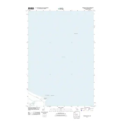
2011 Map of Marquette NW
USGS Topo · Published 2011About this map
Lake Superior dominates the landscape in this 2011 survey of the Marquette coastline, where the cold waters of the great lake meet the rocky shores of the Upper Peninsula. Along the southern edge of the sheet, the terrain transitions from the deep waters to prominent landmarks such as Granite Point and the offshore Granite Island. The area is characterized by its significant recreational and natural conservation spaces, most notably the Little Presque Isle State Forest Campground near the mouth of Harlow Creek. Further inland, the map captures the quiet surroundings of Harlow Lake, accessed by Harlow Lake Rd just off the main artery of County Rd 550. This map provides a look at the shoreline before modern development, focusing on the preserved rocky outcrops like Little Presque Isle.
Find a feature on this map
9 named features on this map. Tap any name to fly to it.
Don’t see what you’re looking for? This feature index may not catch every label — zoom into the map to look around manually.
Map Details
Editions of this 2011 Marquette NW Map
This is the sole edition of this map. No revisions or reprints were ever made.
Other maps of this area

1907 · Marquette
USGS Topo · 1:62,500

1953 · Marquette NW
USGS Topo · 1:24,000

1953 · Negaunee
USGS Topo · 1:24,000
1954 · Marquette
USGS Topo · 1:24,000

1954 · Negaunee
USGS Topo · 1:62,500

1954 · Big Bay
USGS Topo · 1:62,500

1954 · Marquette
USGS Topo · 1:62,500

1958 · Marquette
USGS Topo · 1:250,000

1960 · Marquette
USGS Topo · 1:250,000

1961 · Marquette
USGS Topo · 1:250,000