2000s (21st Century) Maps of Powell Township, Michigan
Explore 50 historic maps of Powell Township from the 2000s (21st Century). These maps offer a rare glimpse into what life looked like during the 2000s — showing old roads, neighborhoods, homes, and landmarks that have changed or disappeared over time.
Whether you're researching your family's past, planning a metal detecting trip, or studying how Powell Township's landscape evolved across the 2000s, these high-resolution maps are a powerful tool for exploring the history of this region.
- Focus on a specific era: All maps on this page are from the 2000s, giving you a focused view of this time period.
- See what’s changed: Compare century-old streets, trails, and buildings to today's modern landscape using overlays and satellite layers.
- Research with precision: Use these maps for genealogy, historical research, land use analysis, or educational projects.
- View, download, or print: Maps are fully viewable online in high resolution, and can be downloaded or printed for your own records.
Start exploring Powell Township's history through authentic maps from the 2000s. This is your window into the past.
Powell Township, MI maps
(50)- 2011 Map of Glovers Corner, 2011 Print
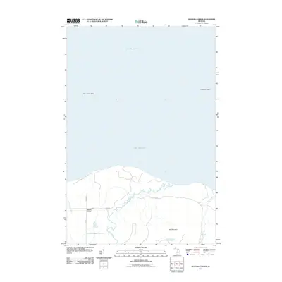 2011 Glovers Corner2011 Print · USGSThis part of the Upper Peninsula shoreline shows the intersection of wild coast and rural settlement during the early twenty-first century. Genealogists and local historians can trace family-named routes like Swanberg and Roth leading toward Glovers Corner.
 - 2011 Map of Howe Lake, 2011 Print
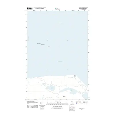 2011 Howe Lake2011 Print · USGSThe Michigan shoreline of Lake Superior comes alive in this survey of Marquette County, showing the coastal islands and interior lakes. Trace the isolated reaches of Lighthouse Island or follow the waters of Howe Lake and Rush Lake below the heights of Huron Mountain.
 - 2011 Map of Big Bay, 2011 Print
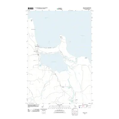 2011 Big Bay2011 Print · USGSBig Bay and the Marquette County coast appear here in the early twenty-first century as a landscape defined by Great Lakes frontage and timbered interior trails. Researchers can locate Big Bay Cemetery, the Bay Cliff Health Camp, and remote outposts like Alder and Antlers.
 - 2011 Map of Huron Mountain, 2011 Print
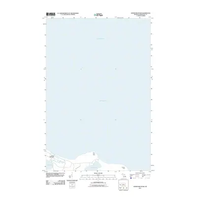 2011 Huron Mountain2011 Print · USGSThe Lake Superior shoreline in Marquette County is documented here during the early 2000s, showing a landscape of coastal points and inland lakes. Researchers can trace the terrain around Huron Mountain and the banks of Pine Lake and Conway Lake.
 - 2011 Map of Granite Point, 2011 Print
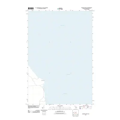 2011 Granite Point2011 Print · USGSThe Michigan shoreline of Marquette County is documented here in the early twenty-first century, showcasing the interface of land and water. Researchers can trace the coastal layout of Granite Point and the route of County Hwy KB along the edge of Lake Superior.
 - 2011 Map of Mountain Lake, 2011 Print
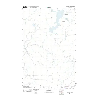 2011 Mountain Lake2011 Print · USGSThe Huron Mountains in Baraga County are captured here in the early twenty-first century, showing a remote landscape of peaks and falls. Genealogists can locate Champion Cemetery while outdoor researchers can trace the routes of the Cliff River and Salmon Trout River.
 - 2011 Map of McComb Corner, 2011 Print
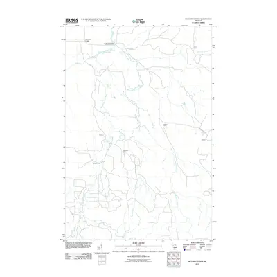 2011 McComb Corner2011 Print · USGSBaraga County's remote wilderness is documented here in the early twenty-first century, centered on the confluence of the Huron River branches. Researchers can locate specific family and timber camps such as Sirard Camp and Elmblad Camp or trace the drops of Big Erick's Falls and Letherby Falls.
 - 2011 Map of Buckroe, 2011 Print
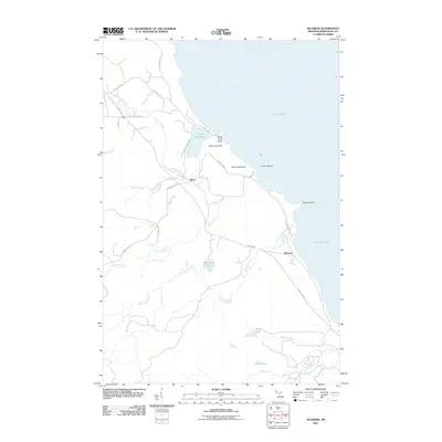 2011 Buckroe2011 Print · USGSThe Lake Superior coast of Michigan's Upper Peninsula comes into focus in this recent survey. Local historians and explorers can trace coastal landmarks like Saux Head Point and the inland reaches of Gold Mine Rd near the Big Garlic River.
 - 2011 Map of Negaunee NW, 2011 Print
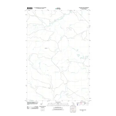 2011 Negaunee NW2011 Print · USGSMarquette County's northern forests appear in this early twenty-first-century survey, capturing a remote landscape of winding waterways and seasonal outposts. Researchers can trace the placement of North Star Camp and the headwaters of Alder Creek and Lost Creek.
 - 2011 Map of Ives Hill, 2011 Print
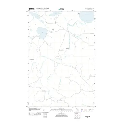 2011 Ives Hill2011 Print · USGSMarquette County's northern wilderness is captured here in the early twenty-first century, showing the drainage of the Huron Mountains toward Lake Superior. Researchers can trace the courses of the Salmon Trout River and find named landmarks like Gillet Landing and Eighty Foot Falls.
 - 2014 Map of Big Bay, 2014 Print
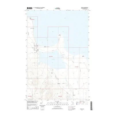 2014 Big Bay2014 Print · USGSMarquette County's north shore reveals a world of timber and water in the early 2010s. Genealogists and local historians can trace the lakeside community at Big Bay or find family connections at Big Bay Cem and the settlement at Antlers.
 - 2014 Map of Mountain Lake, 2014 Print
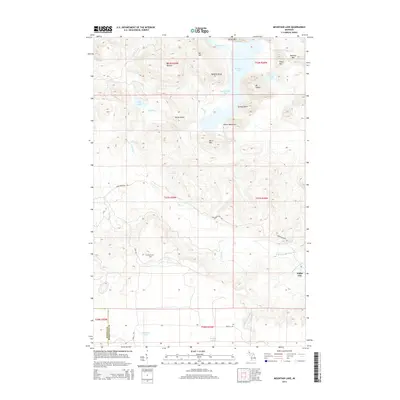 2014 Mountain Lake2014 Print · USGSThe Michigan Upper Peninsula high country is captured here during the 2010s, showcasing the dense summits of the Huron Mountains. Trace local history at the Champion Cem or locate remote water features like Forty Foot Falls and Lumberman Bay.
 - 2014 Map of Buckroe, 2014 Print
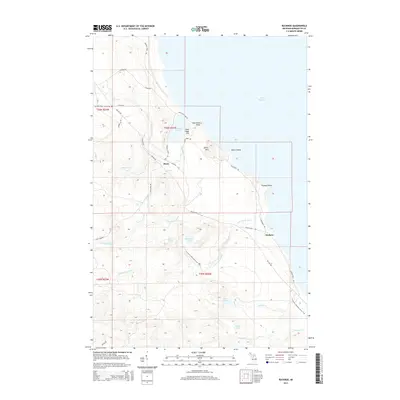 2014 Buckroe2014 Print · USGSMarquette County's northern coast is depicted here in the early twenty-first century, showing the interface between the Lake Superior shore and the interior highlands. Researchers can trace the path of the N Country National Scenic Trail past Little Garlic Falls and the small settlements of Birch and Buckroe.
 - 2014 Map of Huron Mountain, 2014 Print
 2014 Huron Mountain2014 Print · USGSMarquette County's shoreline meets the deep waters of Lake Superior in this early twenty-first-century survey. Genealogists and local historians can trace the remote settlement of Huron Mountain and natural landmarks like Conway Lake and Pine River Point.
 - 2014 Map of Granite Point, 2014 Print
 2014 Granite Point2014 Print · USGSThe Lake Superior coastline of the Upper Peninsula comes into focus during the early twenty-first century. Researchers can trace the rugged shoreline near Granite Point and follow local routes like Co Road KCB along the lake's edge.
 - 2014 Map of Ives Hill, 2014 Print
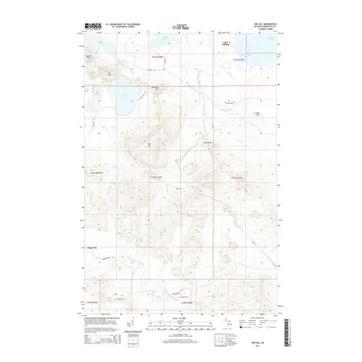 2014 Ives Hill2014 Print · USGSMarquette County's interior and Lake Superior shoreline are captured here in the mid-2010s, showcasing the high summits and river systems of the Upper Peninsula. Researchers can trace the rugged topography of the Huron Mountains and locate small outposts like Gillet Landing and Dodge City.
 - 2014 Map of Negaunee NW, 2014 Print
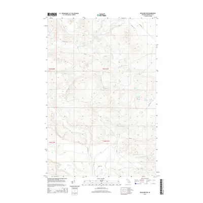 2014 Negaunee NW2014 Print · USGSMarquette County's highland wilderness is documented here in the early twenty-first century, showing a network of remote river systems and waterfalls. Researchers can locate specific natural landmarks like Big Pup Falls, Yellow Dog River Falls, and the chain of Third Bass Lake and its neighbors.
 - 2014 Map of McComb Corner, 2014 Print
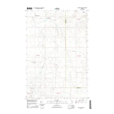 2014 McComb Corner2014 Print · USGSThe Huron Mountains and the headwaters of the Huron River take center stage in this modern look at Baraga County's wild interior. Researchers can trace the river's many drops, from Big Ericks Falls to Ecstasy Falls, and follow logging-era routes like Longyear Trl.
 - 2014 Map of Glovers Corner, 2014 Print
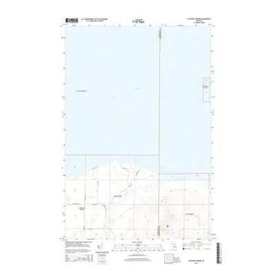 2014 Glovers Corner2014 Print · USGSCoastal Baraga and Marquette counties meet at Lake Superior in this modern survey of the Huron Mountains region. Local historians can trace family-named roads like St Cyr Rd and Swanberg Rd near the community of Glovers Corner.
 - 2014 Map of Howe Lake, 2014 Print
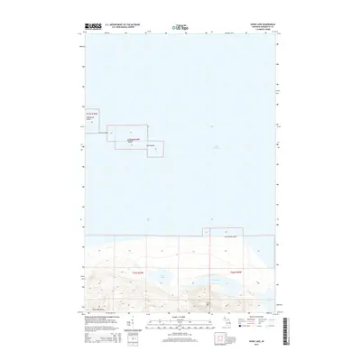 2014 Howe Lake2014 Print · USGSThe Marquette County coast and the archipelago of the Huron Islands are documented here in the early twenty-first century. Researchers can trace the elevation of Huron Mtn and locate inland waters like Howe Lake and Rush Lake.
 - 2017 Map of Huron Mountain, 2017 Print
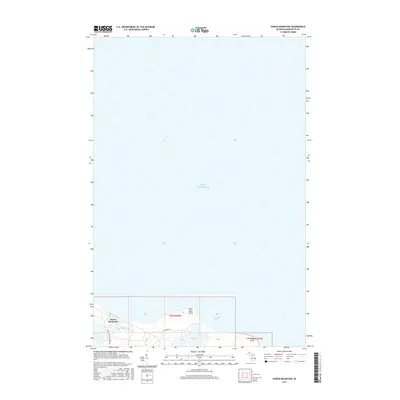 2017 Huron Mountain2017 Print · USGSThe Marquette County shoreline meets the deep waters of Lake Superior in this recent study of the northern peninsula. Researchers can trace the secluded roads around Huron Mountain and locate the shores of Conway Lake and Pine Lake.
 - 2017 Map of Mountain Lake, 2017 Print
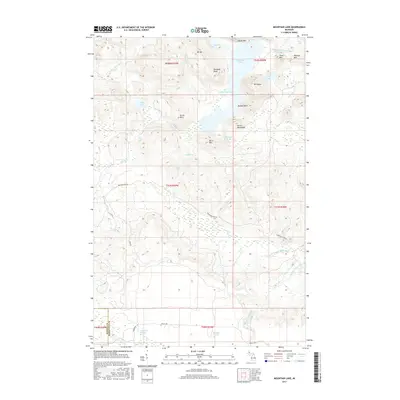 2017 Mountain Lake2017 Print · USGSThe Huron Mountains and their high-elevation lakes are captured here in the years before 2017. Trace the wild drainages of Turkey Neck Falls and Forty Foot Falls, or locate secluded points like Dudley Point and Tokiahok Head.
 - 2017 Map of Howe Lake, 2017 Print
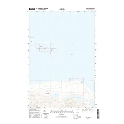 2017 Howe Lake2017 Print · USGSMarquette County's northern shoreline and the offshore Huron Islands are documented here in the early twenty-first century. Researchers can trace the wild coastal geography of Huron River Point or the secluded basins of Howe Lake and Rush Lake.
 - 2017 Map of Ives Hill, 2017 Print
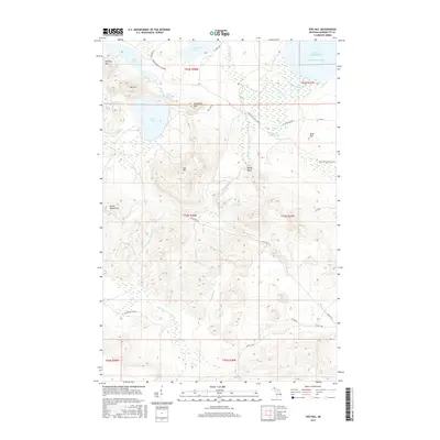 2017 Ives Hill2017 Print · USGSThe Huron Mountains meet Lake Superior in this 2017 study of the high country north of the Triple A Rd. Researchers can trace the winding Huron Mountain Club Rd as it passes Mt Ives, Ives Lake, and the remote cascades of Eighty Foot Falls.
 - 2017 Map of Glovers Corner, 2017 Print
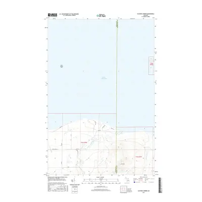 2017 Glovers Corner2017 Print · USGSThe Lake Superior shoreline in Baraga County was largely undeveloped in the early twenty-first century. Researchers can trace remote coastal roads and river systems like the Huron River, Little Huron River, and landmarks such as Bald Mtn.
Showing maps 1-25 of 50
Top cities near Powell Township
Top neighborhoods of Powell Township
- Alder historical maps
- Birch historical maps
- Burns Landing historical maps
- Gillet Landing historical maps
- Homeier historical maps
- Halfway Village historical maps
See more
Frequently asked questions
- What are the different types of historical maps available for Powell Township?
- What is the oldest map of Powell Township?
- Where can I purchase historical maps of Powell Township for my home or office?
- Where can I download high-res historical maps of Powell Township?
- Are there historical topographic maps available for Powell Township?
- Is there historical aerial imagery available for Powell Township?
- Where are historical maps of Powell Township sourced from?