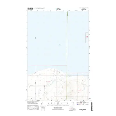
2017 Map of Glovers Corner
USGS Topo · Published 2017About this map
Lake Superior dominates the northern reaches of this coastal landscape, where the waters of the Point Abbaye Reef lie just offshore. Along the southern shoreline of the Great Lake, the terrain transitions into the forested uplands of Baraga and Marquette counties. The drainage network is defined by the Huron River and the Little Huron River, which flow northward toward the coast, while Gullsboro Cr winds through the western sections. The map reveals a remote network of coastal and timber roads, including Huron Rd, Forest Dr, and Lower Skanee Rd, that provide access to the interior. Rising above the river valleys, Bald Mtn serves as a prominent landmark in the southeastern portion of the quadrangle. This area represents a sparsely settled stretch of the Upper Peninsula, where the landscape is primarily shaped by its proximity to the lake and its rugged river systems.
Find a feature on this map
31 named features on this map. Tap any name to fly to it.
Don’t see what you’re looking for? This feature index may not catch every label — zoom into the map to look around manually.
Map Details
Editions of this 2017 Glovers Corner Map
This is the sole edition of this map. No revisions or reprints were ever made.
Other maps of this area
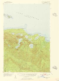
1954 · Huron Mountain
USGS Topo · 1:62,500
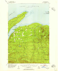
1954 · Skanee
USGS Topo · 1:62,500
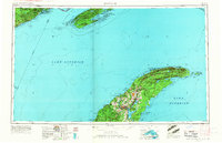
1958 · Hancock
USGS Topo · 1:250,000
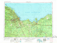
1958 · Marquette
USGS Topo · 1:250,000
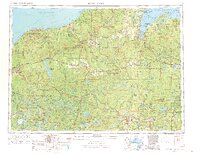
1958 · Iron River
USGS Topo · 1:250,000
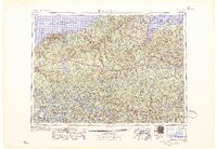
1960 · Iron River
USGS Topo · 1:250,000
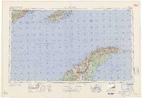
1960 · Hancock
USGS Topo · 1:250,000
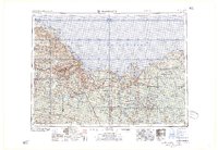
1960 · Marquette
USGS Topo · 1:250,000
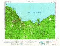
1961 · Marquette
USGS Topo · 1:250,000
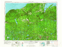
1961 · Iron River
USGS Topo · 1:250,000