Old Maps of Barryton, Michigan for Genealogy
Trace your family roots with 19 historic maps of Barryton. These high-res maps reveal old neighborhoods, homesites, landmarks, and streets — helping you uncover where your ancestors lived and how the area evolved over time.
- Explore historic neighborhoods: Identify where your relatives may have lived in the 1800s or 1900s.
- Compare maps over time: Trace the changes in streets, buildings, and landmarks for multi-generational research.
- Perfect for genealogy & ancestry research: Used by family historians and researchers to map out lineage and migration.
These maps are an incredible resource for exploring your personal connection to Barryton's past.
Barryton, MI maps
(19)- 1954 Map of Midland, 1967 Print
 1954 Midland1967 Print · USGSMid-Michigan at the peak of the post-war era shows a landscape balancing industrial growth in Midland with the deep timberlands of the Manistee National Forest. Researchers can trace the legacy of the timber and rail era along the Pennsylvania RR or find family roots in river towns like Chesaning and Big Rapids.4 unique versions available
 - 1958 Map of Midland
 1958 Midland1958 Print · USGSCentral Michigan in the late fifties is captured here during a period of transition for its university towns and industrial hubs. Genealogists and researchers can trace family lines through old rail-stop towns like Breckenridge and Chesaning or locate property near the Muskegon River and Prairie Farm.
 - 1959 Map of Midland
 1959 Midland1959 Print · USGSMid-century Michigan comes alive in this survey of the central Lower Peninsula, from the streets of Grand Rapids to the Houghton Lake timberlands. Genealogists and rail fans can trace the Ann Arbor RR and Chesapeake and Ohio RR through towns like Big Rapids and Mount Pleasant.
 - 1959 Map of Lake, 1960 Print
 1959 Lake1960 Print · USGSOsceola and Mecosta Counties were a mix of timber-state forests and oil exploration during the late fifties. Researchers can trace rural landmarks from Sears to Brinton, including the County Home, local sites like Martin Sch, and the Chesapeake and Ohio rail line.2 unique versions available
 - 1964 Map of Mecosta NW, 1965 Print
 1964 Mecosta NW1965 Print · USGSMecosta County in the mid-sixties reveals a landscape defined by the expansive Martiny Lake wetlands and the village of Barryton. Researchers can trace old family sites and rural landmarks like the Johnson Landing Field, Winchester Dam, and Sheridan Ch.
 - 1966 Map of Midland
 1966 Midland1966 Print · USGSCentral Michigan in the mid-1960s shows a landscape of growing manufacturing hubs and active resource extraction. Genealogists and historians can trace the rail corridors of the Grand Trunk Western or locate family-named landmarks near Oil wells and the Muskegon River.
 - 1984 Map of Big Rapids
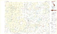 1984 Big Rapids1984 Print · USGSMid-Michigan in the mid-eighties shows a balance of deep-woods conservation and riverfront industry centered on the Muskegon River. Genealogists and historians can trace rail-town development along the Chesapeake and Ohio or locate family sites near Idlewild, Reed City, and Forest Hill Cem.
 - 1984 Map of Merrill Lake
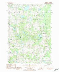 1984 Merrill Lake1984 Print · USGSThe village of Barryton and the surrounding glacial lake country are captured here in the mid-eighties. Researchers can locate rural landmarks like Sparks Cemetery, Barryton Church, and numerous named waters including Negaunee Lake and Rattail Lake.
 - 1991 Map of Big Rapids
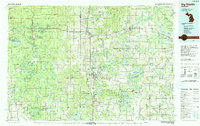 1991 Big Rapids1991 Print · USGSWest Michigan’s river valleys and timberlands are charted here during the early nineties, centered on the Big Rapids corridor. Researchers can trace the path of the C & O RR through settlements like Reed City, Baldwin, and White Cloud.
 - 2011 Map of Merrill Lake, 2011 Print
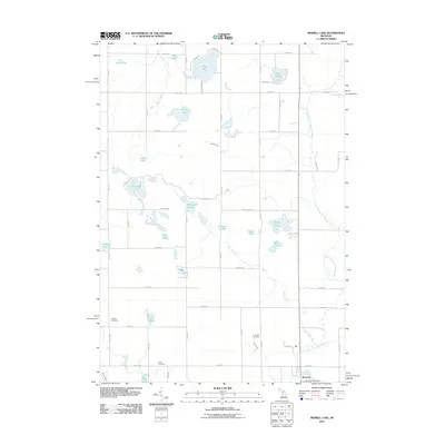 2011 Merrill Lake2011 Print · USGSMecosta County settlement centers on the village of Barryton in the early 2000s, where the river meets a landscape of scattered lakes. Genealogists and local historians can locate the Sparks Cemetery, Eaton Cemetery, and Barryton Post Office among a network of rural section roads.
 - 2011 Map of Mecosta NW, 2011 Print
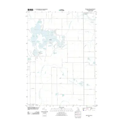 2011 Mecosta NW2011 Print · USGSThe Martiny Lake flooding area and its surrounding lake chains dominate this central Michigan landscape in the early 2010s. Researchers can trace rural cemeteries such as Flake Cemetery and Dye Cemetery or locate the village centers of Barryton and Mecosta.
 - 2014 Map of Mecosta NW, 2014 Print
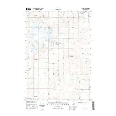 2014 Mecosta NW2014 Print · USGSMecosta County’s lake-strewn countryside is shown here in the early twenty-first century, centered on the village of Barryton. Genealogists and local historians can locate family sites near Dye Cem or trace the water networks of Tubbs Lake and the Chippewa River.
 - 2014 Map of Merrill Lake, 2014 Print
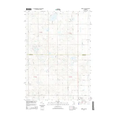 2014 Merrill Lake2014 Print · USGSThe village of Barryton and the surrounding lake country of Mecosta and Osceola counties are shown here in the early 2010s. Local researchers can trace family landmarks and rural burial grounds like Sparks Cem, Brown Cem, and the banks of the N Br Chippewa River.
 - 2017 Map of Merrill Lake, 2017 Print
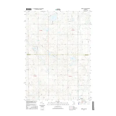 2017 Merrill Lake2017 Print · USGSThe rural border of Mecosta and Osceola counties comes into focus in this recent survey of the Michigan interior. Researchers can trace the layout of Barryton or locate family burial sites at Sparks Cem, Eaton Cem, and Brown Cem.
 - 2017 Map of Mecosta NW, 2017 Print
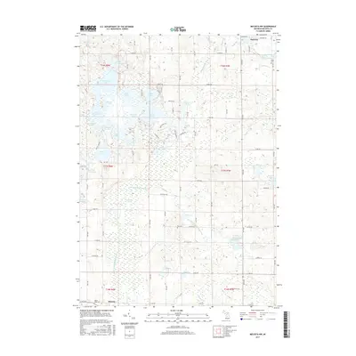 2017 Mecosta NW2017 Print · USGSThe lakeside communities of Mecosta County are shown here in the 2010s, situated between the Chippewa and Little Muskegon river branches. Genealogists and historians can locate Hope Cem, Flake Cem, and the early village centers of Barryton and Mecosta.
 - 2019 Map of Mecosta NW, 2019 Print
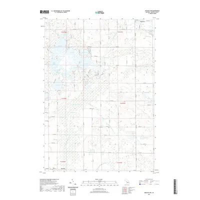 2019 Mecosta NW2019 Print · USGSThe glacial lake country of Mecosta County is documented here at the end of the 2010s. Researchers can trace rural cemetery locations like Mount Hope Cem and Dye Cem while exploring the complex shoreline of Martiny Lake and Tubbs Lake.
 - 2019 Map of Merrill Lake, 2019 Print
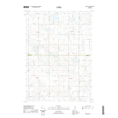 2019 Merrill Lake2019 Print · USGSMecosta and Osceola counties appear here in the late 2010s, showing a landscape defined by glacial lakes and the winding North Branch Chippewa River. Genealogists and local historians can locate family burial sites at Sparks Cem, Brown Cem, and Eaton Cem.
 - 2023 Map of Mecosta NW, 2023 Print
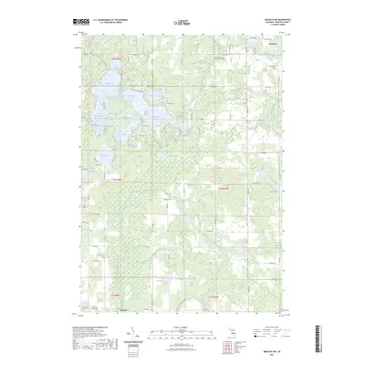 2023 Mecosta NW2023 Print · USGSThe village of Barryton and the surrounding glacial lake country are captured in this recent survey of central Michigan. Researchers can locate family landmarks like Mount Hope Cem and Dye Cem or trace the winding course of the West Branch Chippewa River.
 - 2023 Map of Merrill Lake, 2023 Print
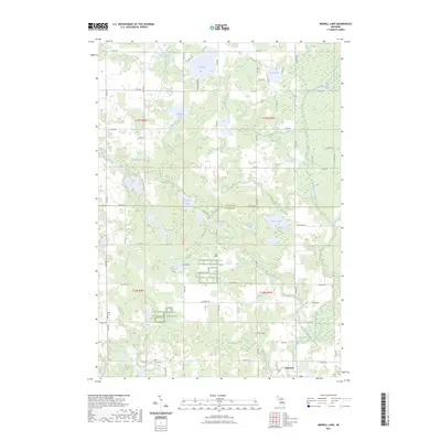 2023 Merrill Lake2023 Print · USGSThe village of Barryton and the surrounding lake country appear in high detail during the early 2020s. Researchers can locate family heritage sites like Sparks Cem or trace the winding course of the North Branch Chippewa River.
End of results
Showing maps 1-19 of 19
Top cities near Barryton
- Evart historical maps
- Remus historical maps
- Millbrook historical maps
- Lake Isabella historical maps
- Mecosta historical maps
Frequently asked questions
- What are the different types of historical maps available for Barryton?
- What is the oldest map of Barryton?
- Where can I purchase historical maps of Barryton for my home or office?
- Where can I download high-res historical maps of Barryton?
- Are there historical topographic maps available for Barryton?
- Is there historical aerial imagery available for Barryton?
- Where are historical maps of Barryton sourced from?