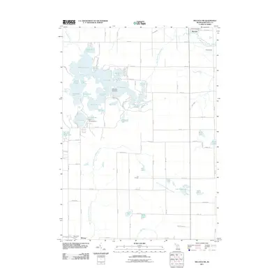
2011 Map of Mecosta NW
USGS Topo · Published 2011About this map
Martiny Lake and its surrounding wetlands form a complex aquatic landscape in this central Michigan survey, where dozens of interconnected basins like Tubbs Lake, Big Evans Lake, and Diamond Lake dominate the terrain. These water bodies are fed by the West Branch Chippewa River and Helmer Creek, eventually joining the main Chippewa River near Barryton. The village of Barryton serves as a local hub in the northeast corner, complete with the Barryton Post Office.
Find a feature on this map
82 named features on this map. Tap any name to fly to it.
Don’t see what you’re looking for? This feature index may not catch every label — zoom into the map to look around manually.
Map Details
Editions of this 2011 Mecosta NW Map
This is the sole edition of this map. No revisions or reprints were ever made.
Other maps of this area

1954 · Midland
USGS Topo · 1:250,000

1958 · Midland
USGS Topo · 1:250,000

1958 · Big Rapids
USGS Topo · 1:62,500

1959 · Midland
USGS Topo · 1:250,000

1959 · Lake
USGS Topo · 1:62,500

1959 · Evart
USGS Topo · 1:62,500

1964 · Mecosta NW
USGS Topo · 1:24,000

1964 · Blanchard
USGS Topo · 1:24,000

1964 · Mecosta
USGS Topo · 1:24,000

1964 · Sherman City
USGS Topo · 1:24,000