
1964 Map of Sherman City
USGS Topo · Published 1965About this map
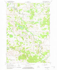
The Chippewa River and Coldwater River converge in this mid-1960s study of central Michigan, where the border of Mecosta and Isabella Counties divides a landscape of small agricultural settlements and wooded wetlands. The small community of Sherman City sits at a crossroads near the center of the sheet, supported by the Sherman City Cemetery and the nearby Forest Hill Church. This period of Michigan's history is reflected in the land use, showing several Gravel Pits and active Oil Wells scattered among the glacial lakes.
Find a feature on this map
40 named features on this map. Tap any name to fly to it.
Don’t see what you’re looking for? This feature index may not catch every label — zoom into the map to look around manually.
Map Details
Editions of this 1964 Sherman City Map
3 editions found
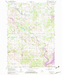
Other maps of this area

1916 · Mount Pleasant
USGS Topo · 1:62,500

1919 · Mount Pleasant
USGS Topo · 1:62,500

1943 · Mount Pleasant
USGS Topo · 1:62,500

1954 · Midland
USGS Topo · 1:250,000

1958 · Midland
USGS Topo · 1:250,000

1959 · Midland
USGS Topo · 1:250,000

1959 · Lake
USGS Topo · 1:62,500

1959 · Clare
USGS Topo · 1:62,500

1964 · Mecosta NW
USGS Topo · 1:24,000

1964 · Blanchard
USGS Topo · 1:24,000