2000s (21st Century) Maps of Orchard Lake Village, Michigan
Explore 10 historic maps of Orchard Lake Village from the 2000s (21st Century). These maps offer a rare glimpse into what life looked like during the 2000s — showing old roads, neighborhoods, homes, and landmarks that have changed or disappeared over time.
Whether you're researching your family's past, planning a metal detecting trip, or studying how Orchard Lake Village's landscape evolved across the 2000s, these high-resolution maps are a powerful tool for exploring the history of this region.
- Focus on a specific era: All maps on this page are from the 2000s, giving you a focused view of this time period.
- See what’s changed: Compare century-old streets, trails, and buildings to today's modern landscape using overlays and satellite layers.
- Research with precision: Use these maps for genealogy, historical research, land use analysis, or educational projects.
- View, download, or print: Maps are fully viewable online in high resolution, and can be downloaded or printed for your own records.
Start exploring Orchard Lake Village's history through authentic maps from the 2000s. This is your window into the past.
Orchard Lake Village, MI maps
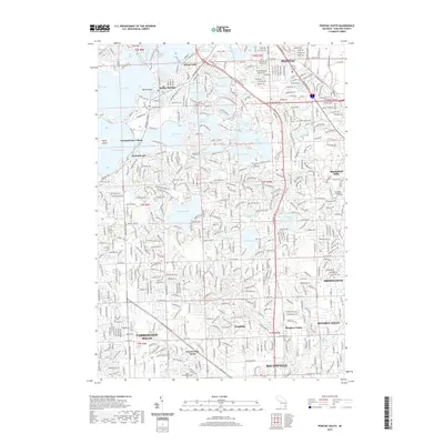
(10)- 2011 Map of Pontiac South, 2011 Print
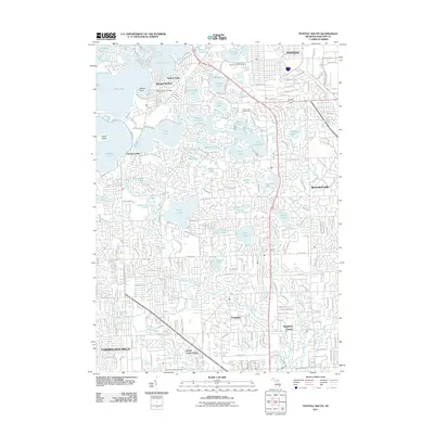 2011 Pontiac South2011 Print · USGSCovers Orchard Lake Village, including Farmington Hills, Southfield, and other nearby areas
 - 2011 Map of Walled Lake, 2011 Print
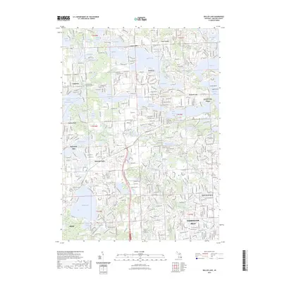
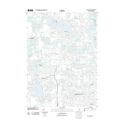 2011 Walled Lake2011 Print · USGSCovers Orchard Lake Village, including Farmington Hills, Waterford Township, and other nearby areas
 - 2014 Map of Walled Lake, 2014 Print
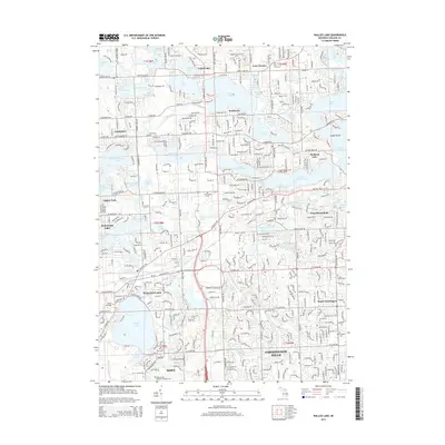 2014 Walled Lake2014 Print · USGSCovers Orchard Lake Village, including Farmington Hills, Waterford Township, and other nearby areas
 - 2014 Map of Pontiac South, 2014 Print
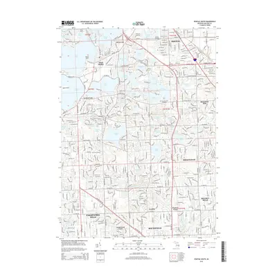 2014 Pontiac South2014 Print · USGSCovers Orchard Lake Village, including Farmington Hills, Southfield, and other nearby areas
 - 2017 Map of Pontiac South, 2017 Print
 2017 Pontiac South2017 Print · USGSCovers Orchard Lake Village, including Farmington Hills, Southfield, and other nearby areas
 - 2017 Map of Walled Lake, 2017 Print
 2017 Walled Lake2017 Print · USGSCovers Orchard Lake Village, including Farmington Hills, Waterford Township, and other nearby areas
 - 2019 Map of Pontiac South, 2019 Print
 2019 Pontiac South2019 Print · USGSCovers Orchard Lake Village, including Farmington Hills, Southfield, and other nearby areas
 - 2019 Map of Walled Lake, 2019 Print
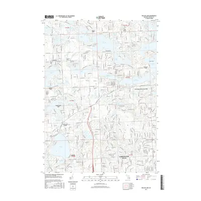
 2019 Walled Lake2019 Print · USGSCovers Orchard Lake Village, including Farmington Hills, Waterford Township, and other nearby areas
 - 2023 Map of Walled Lake, 2023 Print
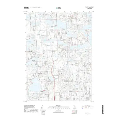
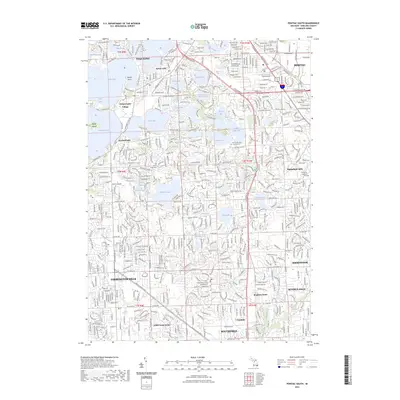
 2023 Walled Lake2023 Print · USGSOakland County's lake country is seen here in a period of mature suburban development, where historic trails meet modern residential clusters. Genealogists and local researchers can pinpoint early burial sites like the Commerce Village Burying Ground and Richardson Cem near Wolverine Lake.
 - 2023 Map of Pontiac South, 2023 Print
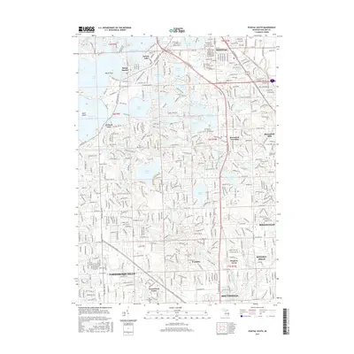
 2023 Pontiac South2023 Print · USGSOakland County's lake country is captured here in the early 2020s, showing the dense suburban development around PONTIAC and BIRMINGHAM. Researchers can trace local history through sites like the Pine Lake Cem, the Franklin Cem, and the iconic Cranbrook Academy of Art.
End of results
Showing maps 1-10 of 10
Top cities near Orchard Lake Village
- Detroit historical maps
- Livonia historical maps
- Troy historical maps
- Farmington Hills historical maps
- Rochester Hills historical maps
- Southfield historical maps
See more
Frequently asked questions
- What are the different types of historical maps available for Orchard Lake Village?
- What is the oldest map of Orchard Lake Village?
- Where can I purchase historical maps of Orchard Lake Village for my home or office?
- Where can I download high-res historical maps of Orchard Lake Village?
- Are there historical topographic maps available for Orchard Lake Village?
- Is there historical aerial imagery available for Orchard Lake Village?
- Where are historical maps of Orchard Lake Village sourced from?