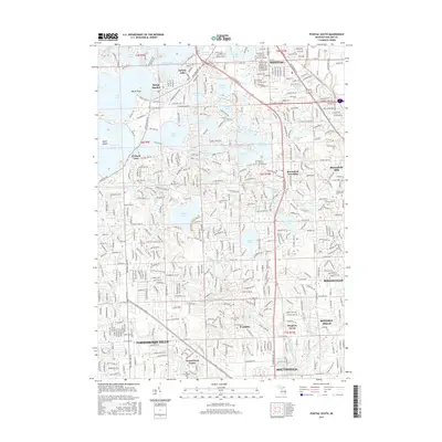
2017 Map of Pontiac South
USGS Topo · Published 2017About this map
Apple Island and the many surrounding glacial basins of Orchard Lake, Cass Lake, and Pine Lake dominate this 2017 survey of Oakland County. The map shows the dense residential growth and preserved recreational waters that characterize the communities of Keego Harbor and Sylvan Lake. In the southern half, the landscape transitions from the lake-studded north to the established residential and institutional corridors of Birmingham, Beverly Hills, and Farmington Hills. Genealogists and local researchers will find several well-documented burial grounds, including the Franklin Cem and East Farmington Cem. The influence of early 20th-century development and estate planning is visible in the presence of the Cranbrook Acad of Art and the Kirk in the Hills Columbarium, while the regional transport network is anchored by the John C Lodge Expy and Telegraph Rd.
Find a feature on this map
69 named features on this map. Tap any name to fly to it.
Don’t see what you’re looking for? This feature index may not catch every label — zoom into the map to look around manually.
Map Details
Editions of this 2017 Pontiac South Map
This is the sole edition of this map. No revisions or reprints were ever made.
Other maps of this area

1905 · Wayne
USGS Topo · 1:62,500

1905 · Detroit
USGS Topo · 1:62,500

1907 · Pontiac
USGS Topo · 1:62,500

1908 · Rochester
USGS Topo · 1:62,500

1912 · Wayne
USGS Topo · 1:62,500

1918 · Detroit
USGS Topo · 1:62,500

1924 · Detroit
USGS Topo · 1:62,500

1934 · Detroit
USGS Topo · 1:62,500

1936 · Birmingham
USGS Topo · 1:31,680

1936 · Clarkston
USGS Topo · 1:31,680