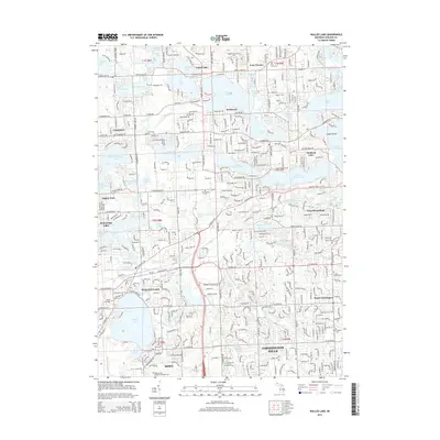
2014 Map of Walled Lake
USGS Topo · Published 2014About this map
Walled Lake and the surrounding communities of Farmington Hills, Novi, and West Bloomfield characterize this densely settled portion of Oakland County. This landscape is defined by its remarkable density of glacial lakes, from the large expanse of Orchard Lake and Cass Lake in the northeast to the intricately channeled Wolverine Lake further west. The map detail reveals the transition from lakefront residential patterns to institutional landmarks like the Oakland Community Coll campus and major burial grounds including Oakland Hills Memorial Gardens Cem.
Find a feature on this map
95 named features on this map. Tap any name to fly to it.
Don’t see what you’re looking for? This feature index may not catch every label — zoom into the map to look around manually.
Map Details
Editions of this 2014 Walled Lake Map
This is the sole edition of this map. No revisions or reprints were ever made.
Other maps of this area

1902 · South Lyon
USGS Topo · 1:62,500

1904 · Ann Arbor
USGS Topo · 1:125,000

1905 · Wayne
USGS Topo · 1:62,500

1906 · South Lyon
USGS Topo · 1:62,500

1907 · Pontiac
USGS Topo · 1:62,500

1908 · Ann Arbor
USGS Topo · 1:125,000

1909 · Milford
USGS Topo · 1:62,500

1912 · Wayne
USGS Topo · 1:62,500

1936 · Wixom
USGS Topo · 1:31,680

1936 · Highland
USGS Topo · 1:31,680
Featured Places
- Farmington Hills, MI
- Waterford Township, MI
- Novi, MI
- West Bloomfield Township, MI
- Commerce Charter Township, MI