2000s (21st Century) Maps of Greenland Township, Michigan
Explore 35 historic maps of Greenland Township from the 2000s (21st Century). These maps offer a rare glimpse into what life looked like during the 2000s — showing old roads, neighborhoods, homes, and landmarks that have changed or disappeared over time.
Whether you're researching your family's past, planning a metal detecting trip, or studying how Greenland Township's landscape evolved across the 2000s, these high-resolution maps are a powerful tool for exploring the history of this region.
- Focus on a specific era: All maps on this page are from the 2000s, giving you a focused view of this time period.
- See what’s changed: Compare century-old streets, trails, and buildings to today's modern landscape using overlays and satellite layers.
- Research with precision: Use these maps for genealogy, historical research, land use analysis, or educational projects.
- View, download, or print: Maps are fully viewable online in high resolution, and can be downloaded or printed for your own records.
Start exploring Greenland Township's history through authentic maps from the 2000s. This is your window into the past.
Greenland Township, MI maps
(35)- 2011 Map of Four Corners, 2011 Print
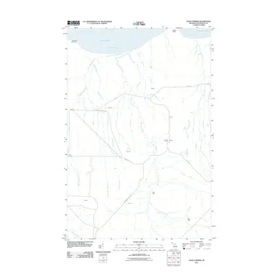 2011 Four Corners2011 Print · USGSCoastal Ontonagon County appears at the start of the 2010s as a landscape of timber history and river systems. You can trace the legacy of regional logging at Penegors Camp and Old Hilger Camp, or follow the routes of the Snowmobile Trl and Camp 18 Rd.
 - 2011 Map of McKeever, 2011 Print
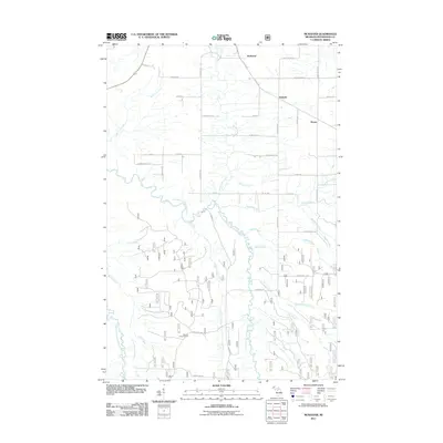 2011 McKeever2011 Print · USGSOntonagon County in the early twenty-first century is a landscape of forest management and quiet rural settlements. Researchers can trace the drainage of the East Branch Ontonagon River and locate landmarks like the Gardner Lookout Tower or the junction at McKeever.
 - 2011 Map of Firesteel, 2011 Print
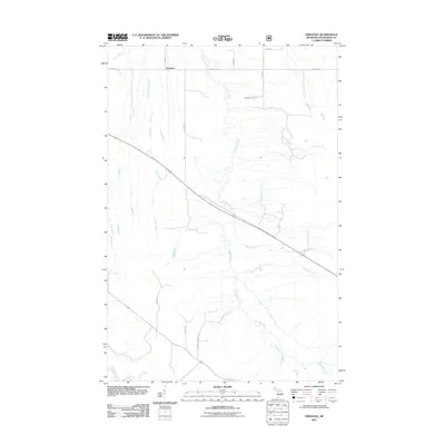 2011 Firesteel2011 Print · USGSUpper Peninsula timberlands and river valleys define this Ontonagon County landscape in the early twenty-first century. Genealogists and local historians can trace family-named routes like Kujala Rd and Tikka Rd near the Flintsteel River and Irish Rapid Falls.
 - 2011 Map of Greenland, 2011 Print
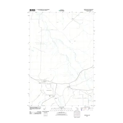 2011 Greenland2011 Print · USGSUpper Peninsula life in the early twenty-first century is centered around the settlements of Greenland and Mass City. Genealogists and local historians can trace family locations near the Methodist Cemetery, Adventure Mountain, and the historic Lake Mine.
 - 2011 Map of Rousseau, 2011 Print
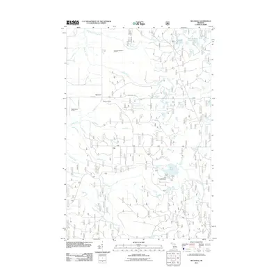 2011 Rousseau2011 Print · USGSThe Houghton County backcountry comes alive in this 2010s survey of the forest road networks and small settlements. Genealogists and outdoor historians can locate Rousseau Cemetery, the community of Pori, and recreation sites around Bob Lake.
 - 2011 Map of Winona North, 2011 Print
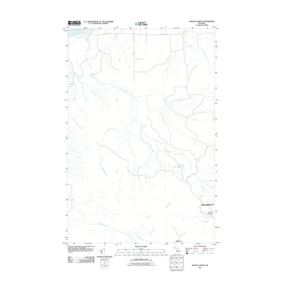 2011 Winona North2011 Print · USGSHoughton County’s coastal forests and copper-district settlements are captured here in the early twenty-first century. Researchers can trace the drainages of Misery Bay and the Little Misery River or locate local landmarks like Wyandotte and Wyandotte Falls.
 - 2011 Map of Winona South, 2011 Print
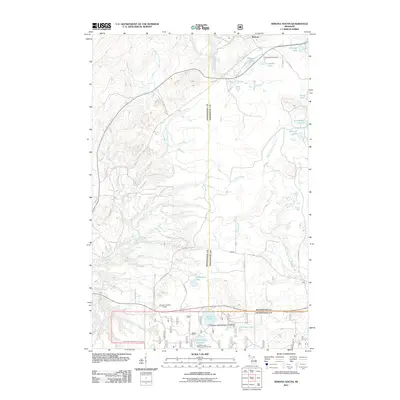 2011 Winona South2011 Print · USGSHoughton County’s southern copper range is captured here in the early twenty-first century as it balances recreation and old industry. Genealogists can locate Woodland Cemetery near Winona, while researchers can trace the Old Railroad through Mottley.
 - 2014 Map of Winona North, 2014 Print
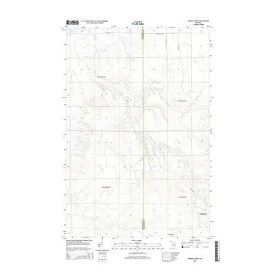 2014 Winona North2014 Print · USGSThe rugged shoreline of Lake Superior's south shore comes into focus in this early twenty-first-century survey of the Michigan Copper Country. Researchers can trace the winding paths of the Misery River and Little Misery River or locate the settlements of Winona and Wyandotte.
 - 2014 Map of Winona South, 2014 Print
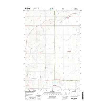 2014 Winona South2014 Print · USGSThe copper country of the Upper Peninsula is shown here during the early twenty-first century near the Winona settlement. Researchers can trace historical routes along Old Railroad Rd or locate the Woodland Cem and Winona Lake.
 - 2014 Map of Rousseau, 2014 Print
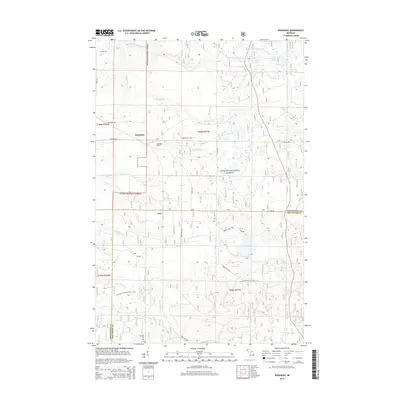 2014 Rousseau2014 Print · USGSThe Upper Peninsula forest lands near the Ontonagon and Houghton county line are captured here in the early twenty-first century. Genealogists and hikers can locate the Rousseau Cemetery and trace the winding North Country National Scenic Trail through the timberlands.
 - 2014 Map of Greenland, 2014 Print
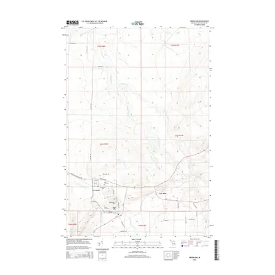 2014 Greenland2014 Print · USGSUpper Peninsula mining history comes alive in this survey of the Greenland area. Genealogists can locate Maple Grove Cem and Methodist Cem, or trace the residential streets of Mass City and the outlying settlement of Lake Mine.
 - 2014 Map of Four Corners, 2014 Print
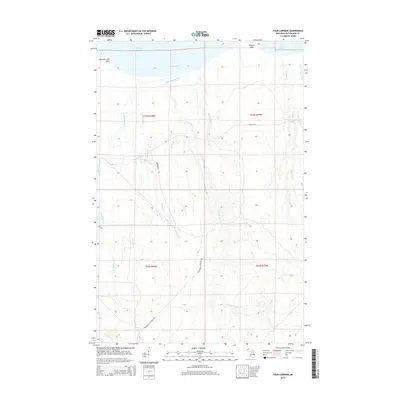 2014 Four Corners2014 Print · USGSCoastal Ontonagon County meets the waters of Lake Superior in this modern survey of the Michigan wilderness. Researchers can trace the path of the Snowmobile Trl through the woods or locate landmarks like Fourteen Mile Point and Four Corners.
 - 2014 Map of McKeever, 2014 Print
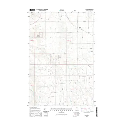 2014 McKeever2014 Print · USGSUpper Peninsula woodlands and river systems define this portion of Rockland Township during the early 2010s. Genealogists and local historians can trace the rural networks surrounding McKeever, Wainola, and Wasas, along with landmarks like Three Rapids and Depot Ridge Rd.
 - 2014 Map of Firesteel, 2014 Print
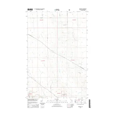 2014 Firesteel2014 Print · USGSOntonagon County in the mid-2010s is characterized by a landscape of deep forests and winding river valleys near the settlement of Firesteel. Genealogists and outdoor historians can trace old homesteads along Harmony Farm Rd or explore the southern reaches of the Ottawa National Forest.
 - 2017 Map of Winona North, 2017 Print
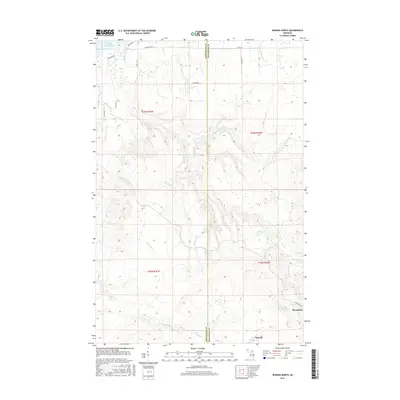 2017 Winona North2017 Print · USGSThe Copper Country shoreline of Lake Superior comes into focus here during the late twenty-teens. Genealogists and local historians can trace the drainages of Misery River and Sleepy Cr near the settlements of Winona and Wyandotte.
 - 2017 Map of Winona South, 2017 Print
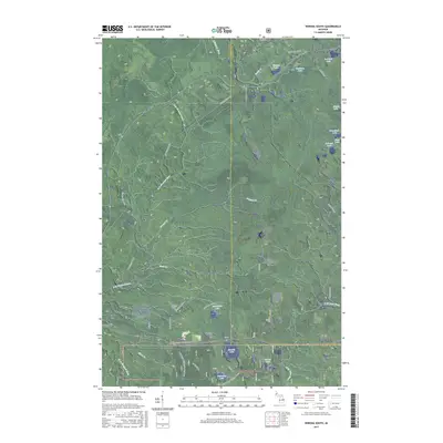 2017 Winona South2017 Print · USGSUpper Peninsula forests and old rail corridors define this portion of the Houghton-Ontonagon county line. Genealogists and historians can trace the settlement at Winona, visit the Woodland Cem, or follow the Bill Nicholls Route past Cemetery Lake.
 - 2017 Map of Rousseau, 2017 Print
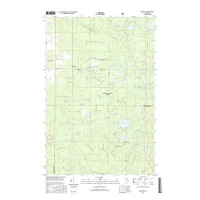 2017 Rousseau2017 Print · USGSThe Houghton County woods near the Ontonagon border come into focus in the late 2010s, showing a landscape of forest management and recreation. Genealogists and local historians can trace sites like Rousseau, the Rousseau Cem, and the timber settlement of Pori.
 - 2017 Map of Greenland, 2017 Print
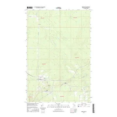 2017 Greenland2017 Print · USGSThe Copper Country of the Upper Peninsula is documented here during the late twenty-teens, showing the enduring layout of mining-era towns. Researchers can trace local genealogy and land use through landmarks like Maple Grove Cem, Lake Mine, and Adventure Mtn.
 - 2017 Map of Firesteel, 2017 Print
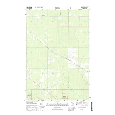 2017 Firesteel2017 Print · USGSThe Firesteel region of Michigan's Upper Peninsula was a landscape of timber and rural homesteads during the early twenty-first century. Researchers can trace historic access routes like Rockland Rd and French Shanty Rd alongside the banks of the Flintsteel River.
 - 2017 Map of Four Corners, 2017 Print
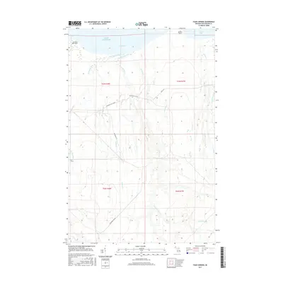 2017 Four Corners2017 Print · USGSThe Lake Superior shoreline of Ontonagon County comes into focus in the mid-2010s, showing a landscape defined by coastal points and river systems. Trace the drainage of the West Sleeping River and find logging routes like Camp 18 Rd and Snowmobile Trl.
 - 2017 Map of McKeever, 2017 Print
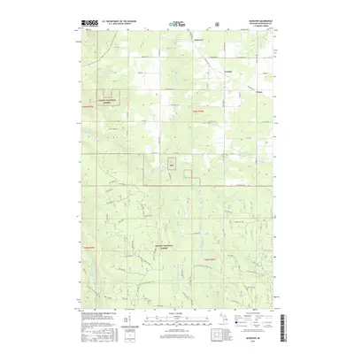 2017 McKeever2017 Print · USGSOntonagon County timberlands and river valleys are shown in the late 2010s, revealing a landscape shaped by forest management and Finnish-American heritage. Researchers can trace the watercourses of the East Branch Ontonagon River and find small hamlets like Wainola and McKeever.
 - 2019 Map of Four Corners, 2019 Print
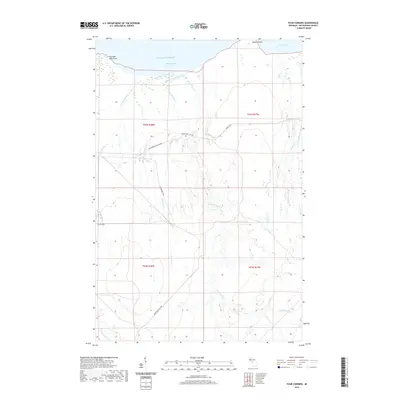 2019 Four Corners2019 Print · USGSOntonagon County's shoreline meets the deep waters of the Upper Peninsula in this modern topographical study. Genealogists and outdoorsmen can trace the drainage of West Sleeping River and find logging-era routes like Camp 18 Rd near Four Corners.
 - 2019 Map of Greenland, 2019 Print
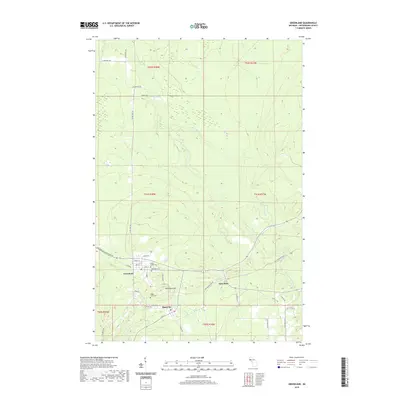 2019 Greenland2019 Print · USGSOntonagon County’s copper mining heritage is visible in this contemporary look at the Upper Peninsula settlements of Greenland and Mass City. Local historians can trace old thoroughfares like the Bill Nicholls Route and find family sites at Maple Grove Cem or Methodist Cem.
 - 2019 Map of McKeever, 2019 Print
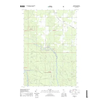 2019 McKeever2019 Print · USGSUpper Peninsula timberlands and river valleys are documented here in 2019, showing the quiet communities of McKeever and Wainola. Researchers can trace the path of the N Country National Scenic Trail or the waters of the Ontonagon Wild and Scenic River.
 - 2019 Map of Firesteel, 2019 Print
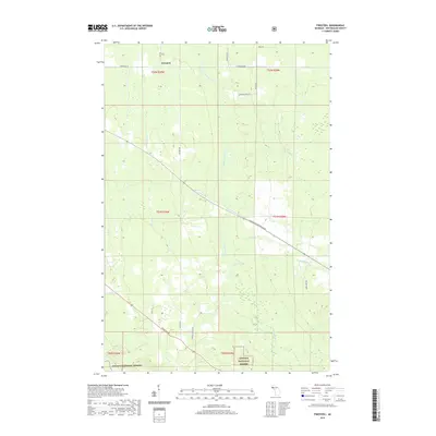 2019 Firesteel2019 Print · USGSOntonagon County's timberlands and river valleys are captured here in the late 2010s. Researchers can trace the drainage of the Flintsteel River and locate local landmarks like the Firesteel settlement and the historical corridor of French Shanty Rd.
Showing maps 1-25 of 35
Top cities near Greenland Township
Top neighborhoods of Greenland Township
- Lake Mine historical maps
- Wasas historical maps
- Wainola historical maps
- McKeever historical maps
- Mass City historical maps
- Greenland historical maps
Frequently asked questions
- What are the different types of historical maps available for Greenland Township?
- What is the oldest map of Greenland Township?
- Where can I purchase historical maps of Greenland Township for my home or office?
- Where can I download high-res historical maps of Greenland Township?
- Are there historical topographic maps available for Greenland Township?
- Is there historical aerial imagery available for Greenland Township?
- Where are historical maps of Greenland Township sourced from?