2000s (21st Century) Maps of Mentor Township, Michigan
Explore 30 historic maps of Mentor Township from the 2000s (21st Century). These maps offer a rare glimpse into what life looked like during the 2000s — showing old roads, neighborhoods, homes, and landmarks that have changed or disappeared over time.
Whether you're researching your family's past, planning a metal detecting trip, or studying how Mentor Township's landscape evolved across the 2000s, these high-resolution maps are a powerful tool for exploring the history of this region.
- Focus on a specific era: All maps on this page are from the 2000s, giving you a focused view of this time period.
- See what’s changed: Compare century-old streets, trails, and buildings to today's modern landscape using overlays and satellite layers.
- Research with precision: Use these maps for genealogy, historical research, land use analysis, or educational projects.
- View, download, or print: Maps are fully viewable online in high resolution, and can be downloaded or printed for your own records.
Start exploring Mentor Township's history through authentic maps from the 2000s. This is your window into the past.
Mentor Township, MI maps
(30)- 2012 Map of Fairview, 2012 Print
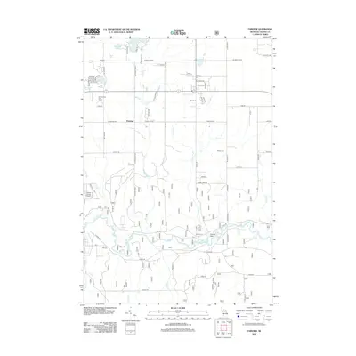 2012 Fairview2012 Print · USGSOscoda County's forested interior is captured here in the early twenty-first century, centered on the settlement of Fairview. Local researchers can trace several burial grounds like Weaver Cem and Comins Cem or follow the bend of the Au Sable River.
 - 2012 Map of Mack Lake, 2012 Print
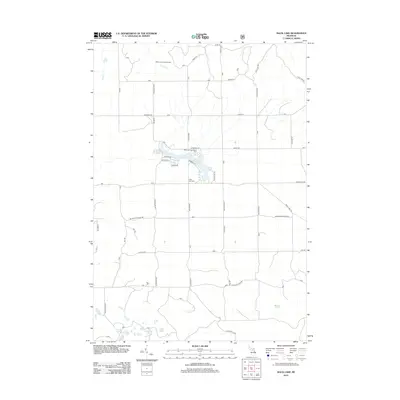 2012 Mack Lake2012 Print · USGSOgemaw County in the early 2010s showcases a landscape of glacial lakes and forest service roads. Genealogists and local historians can locate Long Lake Cem or trace the drainage of Wolf Cr and Loud Cr near the Mack Lake Lookout Tower.
 - 2012 Map of Island Lake, 2012 Print
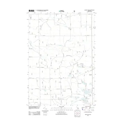 2012 Island Lake2012 Print · USGSOscoda County’s lake country is detailed here during the early 2010s, showing a landscape of forest camps and glacial waters. You can locate family history at Union Corners Cem or trace recreational sites like Paul Bunyon Camp and Island Lake.
 - 2012 Map of McKinley, 2012 Print
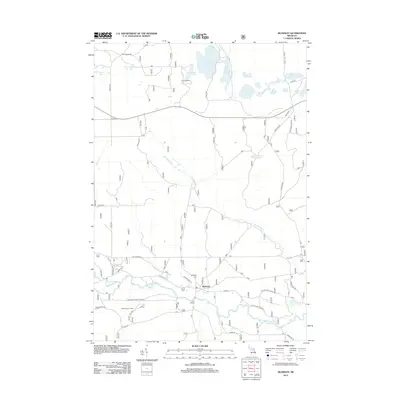 2012 McKinley2012 Print · USGSThe Au Sable River valley and the settlement of McKinley are captured here in the early twenty-first century. Researchers can locate McKinley Cem, trace the Hardy Grade, and explore the cluster of northern waters like Shamrock Lake and Island Lake.
 - 2012 Map of Goodar, 2012 Print
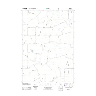 2012 Goodar2012 Print · USGSThe woodlands of Ogemaw County are mapped here in the early 2010s, centering on the small community of Goodar. Genealogists and outdoorsmen can trace the forest roads and waterways that define the region, including Hughes Lake, Six Mile Grade, and Wilbur Cr.
 - 2012 Map of Mio, 2012 Print
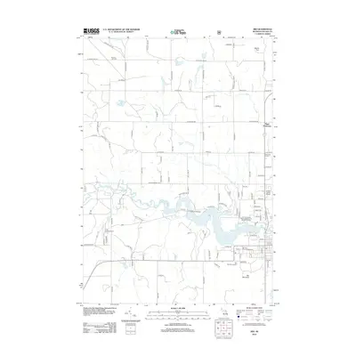 2012 Mio2012 Print · USGSNorthern Michigan's Au Sable River corridor is captured here in the early twenty-first century, centered on the community of Mio. Researchers can locate family landmarks like Biggs Settlement, Muskrat Lake Cem, and the Mio Pond State Forest Campground and Group Camp.
 - 2014 Map of Mack Lake, 2014 Print
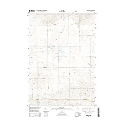 2014 Mack Lake2014 Print · USGSOscoda and Ogemaw Counties are shown here during the mid-2010s, centered on the protected lands of the Huron National Forest. Researchers can locate the Lincoln B Watson Grave and Long Lake Cemetery near the shores of Mack Lake.
 - 2014 Map of Island Lake, 2014 Print
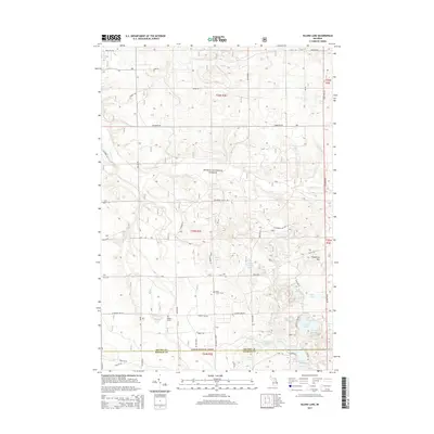 2014 Island Lake2014 Print · USGSOscoda County, Michigan, is shown in the mid-2010s as a landscape of managed wilderness and secluded waters within the Huron National Forest. Local history researchers can pinpoint landmarks like Union Corners Cem, Hughes Grave, and the shores of Loon Lake.
 - 2014 Map of McKinley, 2014 Print
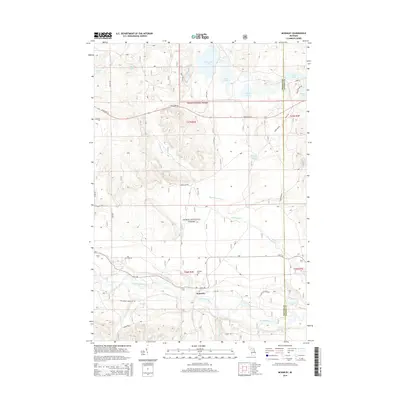 2014 McKinley2014 Print · USGSThe Au Sable River valley and Huron National Forest are seen here as they appeared in 2014. Researchers can trace local history at McKinley and the McKinley Cem, or locate family-named landmarks like O'Brien Lake and Lake David.
 - 2014 Map of Mio, 2014 Print
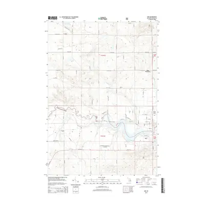 2014 Mio2014 Print · USGSThe Au Sable River and Huron National Forest define this Oscoda County landscape in the early twenty-first century. Researchers can trace local landmarks like Biggs Settlement, the Mio Dam Pond, and the Muskrat Lake Cem.
 - 2014 Map of Fairview, 2014 Print
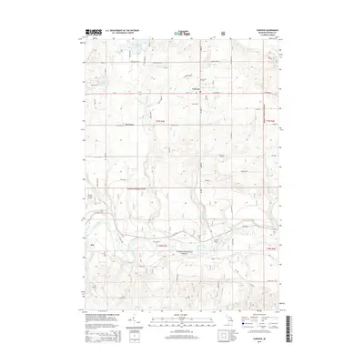 2014 Fairview2014 Print · USGSOscoda County's timber and water resources define this area in the early twenty-first century, centered on the Au Sable River corridor. Researchers can trace local lineage through Fairview Cem and Comins Cem or locate the historic Kneeland settlement.
 - 2014 Map of Goodar, 2014 Print
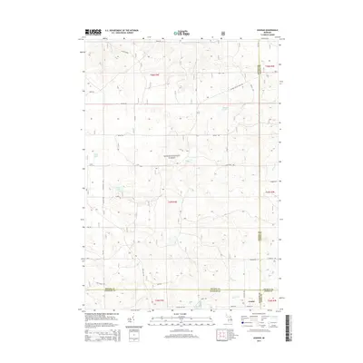 2014 Goodar2014 Print · USGSUpper Michigan's forest country is documented here in the early twenty-first century, centered on the four-county junction near Goodar. Researchers can trace the drainage of Ninemile Cr and Wilbur Cr or locate forest routes like Six Mile Grade.
 - 2017 Map of Goodar, 2017 Print
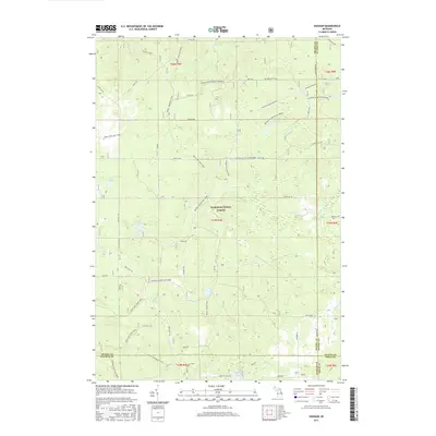 2017 Goodar2017 Print · USGSNear the meeting point of four northern Michigan counties, this modern survey shows a landscape deeply defined by the Huron-National Forest. Researchers can trace old logging routes and woodland paths like the Six Mile Grade, Mack - McKinley Trail, and the area around Goodar.
 - 2017 Map of McKinley, 2017 Print
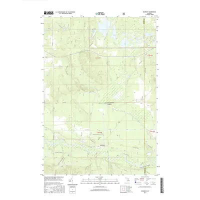 2017 McKinley2017 Print · USGSMcKinley and the surrounding Huron National Forest are captured here in the early twenty-first century as the Au Sable River valley continues its long history of timber and recreation. Researchers can locate the McKinley Cem and trace historic routes like the Hardy Grade and the Mack-McKinley Trail.
 - 2017 Map of Mack Lake, 2017 Print
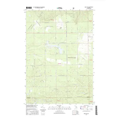 2017 Mack Lake2017 Print · USGSThe northern woods of Ogemaw and Oscoda counties are shown here in the late twenty-teens, dominated by the Huron National Forest. Researchers can locate the Lincoln B Watson Grave, the Long Lake Cem, and numerous backcountry paths like the Mack - Bull Gap Trail.
 - 2017 Map of Fairview, 2017 Print
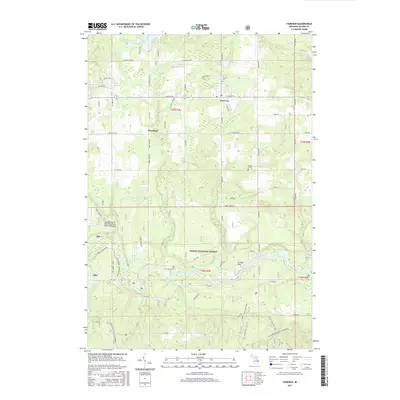 2017 Fairview2017 Print · USGSOscoda County in the 2010s reveals a landscape where the Huron National Forest meets the winding Au Sable River. Researchers can trace rural settlement patterns through local sites like Kneeland, Fairview Cem, and Comins Flats.
 - 2017 Map of Mio, 2017 Print
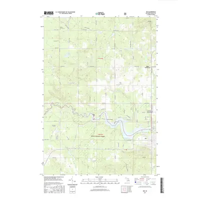 2017 Mio2017 Print · USGSOscoda County’s river country is captured here during the late twenty-teens, showing the dense forest and water networks of the Au Sable valley. Genealogists and researchers can locate the Biggs Settlement, Muskrat Lake Cem, and the high peak of Mt Tom.
 - 2017 Map of Island Lake, 2017 Print
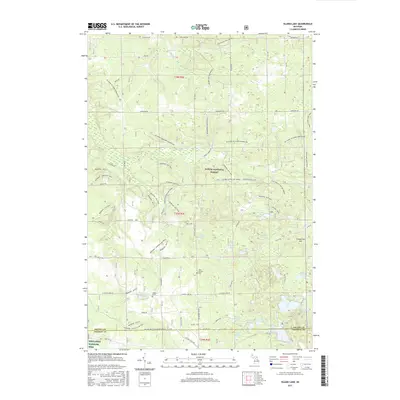 2017 Island Lake2017 Print · USGSOscoda County's forested interior is captured here in the late twenty-first century, showing the dense network of trails and lakes within the Huron National Forest. Researchers can locate the historic Union Corners Cem, the isolated Hughes Grave, and the waters of Island Lake.
 - 2019 Map of Mack Lake, 2019 Print
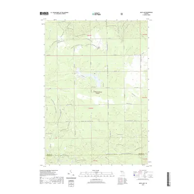 2019 Mack Lake2019 Print · USGSOscoda and Ogemaw Counties are shown in the late 2010s, where the Huron National Forest landscape is crisscrossed by an extensive network of horse and hiking trails. Genealogists and researchers can find local landmarks like the Lincoln B Watson Grave, the Long Lake Cem, and Happy Lake.
 - 2019 Map of Goodar, 2019 Print
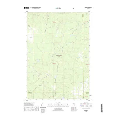 2019 Goodar2019 Print · USGSNorthern Michigan’s forest lands are shown here at the four-county junction of Oscoda, Alcona, Ogemaw, and Iosco. Outdoor enthusiasts and local historians can trace the extensive network of the Mack Lake Loop Trail and find quiet water at Emley Lake or Redhead Lake.
 - 2019 Map of Fairview, 2019 Print
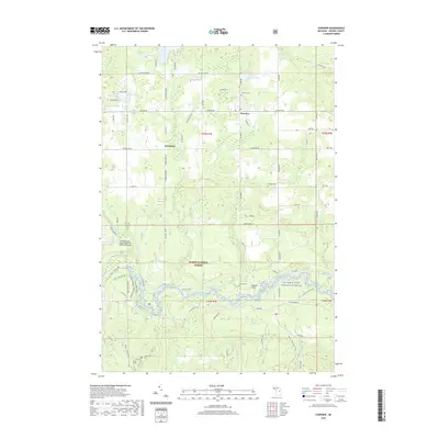 2019 Fairview2019 Print · USGSOscoda County near the turn of the 21st century features a mix of rural townships and federally protected woodlands. Genealogists and historians can locate burials at Fairview Cem or Comins Cem and trace the winding course of the Au Sable River.
 - 2019 Map of Mio, 2019 Print
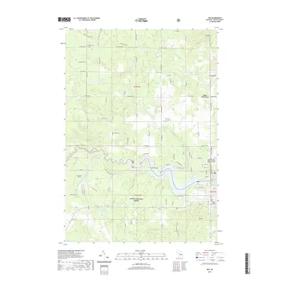 2019 Mio2019 Print · USGSOscoda County's central river corridor is captured here in the late 2010s, centered on the community of Mio. Genealogists and historians can trace local landmarks like the Oscoda County Courthouse, Biggs Settlement, and Kittle Cem.
 - 2019 Map of Island Lake, 2019 Print
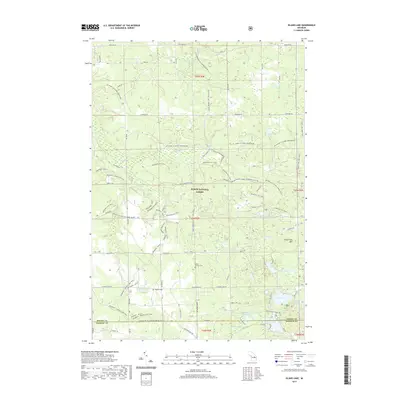 2019 Island Lake2019 Print · USGSOscoda County's forested interior is documented here in the late 2010s, showing a landscape dedicated to conservation and recreation. Researchers can locate remote landmarks like Union Corners Cem or Hughes Grave amidst the sprawling Huron National Forest.
 - 2019 Map of McKinley, 2019 Print
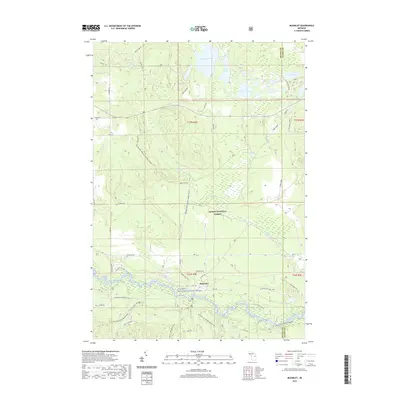 2019 McKinley2019 Print · USGSMcKinley and the surrounding Huron National Forest are shown in detail during the late twenty-tens as the region balances recreation and conservation. Researchers can trace the Mi Shore To Shore Horsehike and locate sites like the McKinley Cem along the Au Sable Wild and Scenic River.
 - 2023 Map of Fairview, 2023 Print
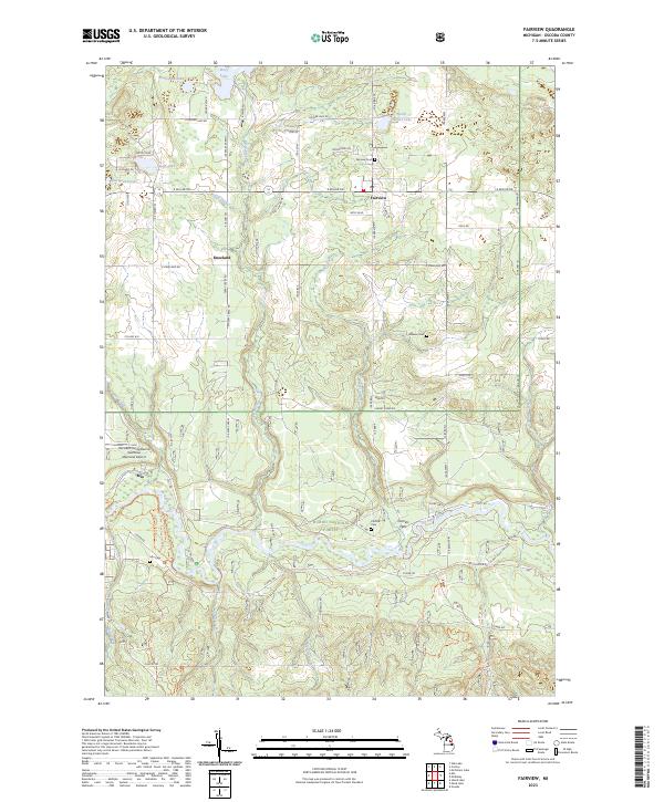 2023 Fairview2023 Print · USGSOscoda County, Michigan, is shown in the 2020s as a landscape defined by the winding Au Sable River and the Huron National Forest. Researchers can trace the roots of local families at Fairview and Weaver cemeteries or locate the Kneeland settlement.
Showing maps 1-25 of 30
Top cities near Mentor Township
Top neighborhoods of Mentor Township
Frequently asked questions
- What are the different types of historical maps available for Mentor Township?
- What is the oldest map of Mentor Township?
- Where can I purchase historical maps of Mentor Township for my home or office?
- Where can I download high-res historical maps of Mentor Township?
- Are there historical topographic maps available for Mentor Township?
- Is there historical aerial imagery available for Mentor Township?
- Where are historical maps of Mentor Township sourced from?