2000s (21st Century) Maps of Rogers Township, Michigan
Explore 25 historic maps of Rogers Township from the 2000s (21st Century). These maps offer a rare glimpse into what life looked like during the 2000s — showing old roads, neighborhoods, homes, and landmarks that have changed or disappeared over time.
Whether you're researching your family's past, planning a metal detecting trip, or studying how Rogers Township's landscape evolved across the 2000s, these high-resolution maps are a powerful tool for exploring the history of this region.
- Focus on a specific era: All maps on this page are from the 2000s, giving you a focused view of this time period.
- See what’s changed: Compare century-old streets, trails, and buildings to today's modern landscape using overlays and satellite layers.
- Research with precision: Use these maps for genealogy, historical research, land use analysis, or educational projects.
- View, download, or print: Maps are fully viewable online in high resolution, and can be downloaded or printed for your own records.
Start exploring Rogers Township's history through authentic maps from the 2000s. This is your window into the past.
Rogers Township, MI maps
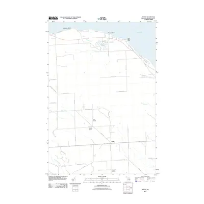
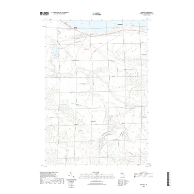
(25)- 2011 Map of Ocqueoc, 2011 Print
 2011 Ocqueoc2011 Print · USGSCovers Rogers Township, including Ocqueoc, Moltke Township, and other nearby areas
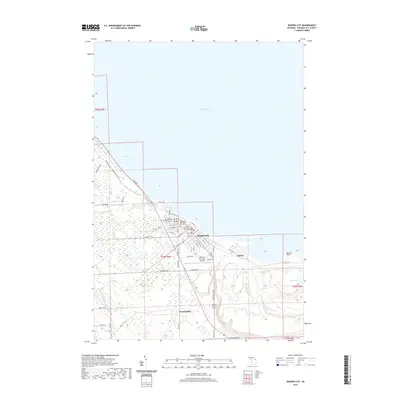
 - 2011 Map of Rogers City, 2011 Print
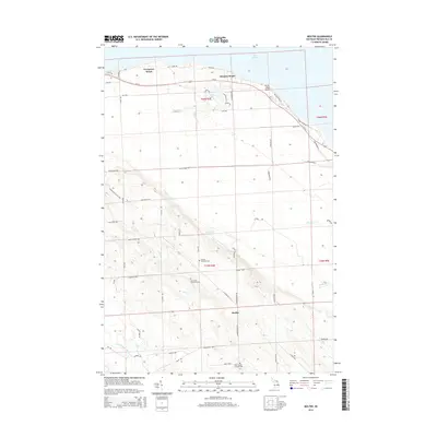
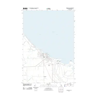 2011 Rogers City2011 Print · USGSCovers Rogers Township, including Rogers City, Bruningville, and other nearby areas
 - 2011 Map of Hawks, 2011 Print
 2011 Hawks2011 Print · USGSCovers Rogers Township, including Moltke Township, Big Cut, and other nearby areas
 - 2011 Map of Moltke, 2011 Print
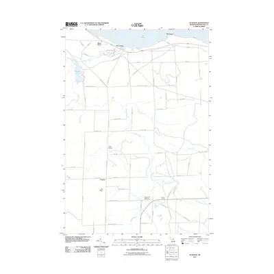
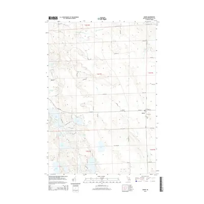
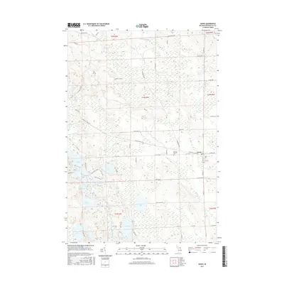
 2011 Moltke2011 Print · USGSCovers Rogers Township, including Moltke, Moltke Township, and other nearby areas
 - 2011 Map of Metz, 2011 Print
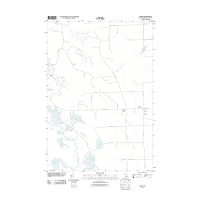
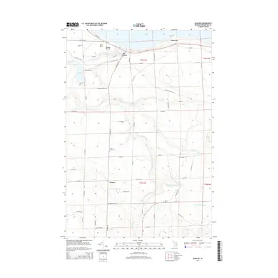
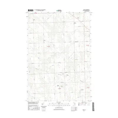
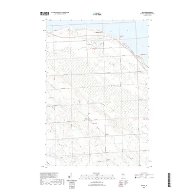
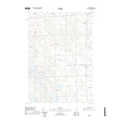
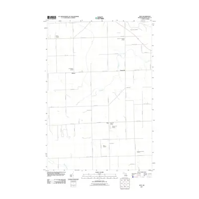 2011 Metz2011 Print · USGSCovers Rogers Township, including Belknap, Metz, and other nearby areas
 - 2014 Map of Metz, 2014 Print
 2014 Metz2014 Print · USGSCovers Rogers Township, including Belknap, Metz, and other nearby areas
 - 2014 Map of Hawks, 2014 Print
 2014 Hawks2014 Print · USGSCovers Rogers Township, including Moltke Township, Big Cut, and other nearby areas
 - 2014 Map of Moltke, 2014 Print
 2014 Moltke2014 Print · USGSCovers Rogers Township, including Moltke, Moltke Township, and other nearby areas
 - 2014 Map of Rogers City, 2014 Print
 2014 Rogers City2014 Print · USGSCovers Rogers Township, including Rogers City, Bruningville, and other nearby areas
 - 2014 Map of Ocqueoc, 2014 Print
 2014 Ocqueoc2014 Print · USGSCovers Rogers Township, including Ocqueoc, Moltke Township, and other nearby areas
 - 2017 Map of Moltke, 2017 Print
 2017 Moltke2017 Print · USGSCovers Rogers Township, including Moltke, Moltke Township, and other nearby areas
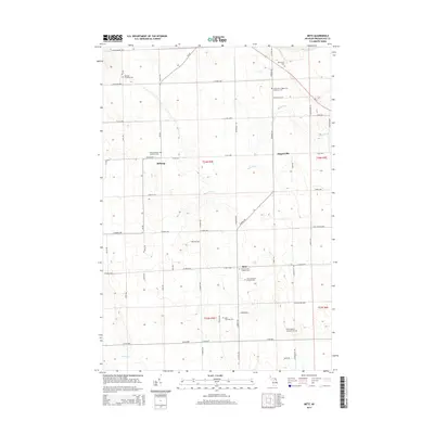
 - 2017 Map of Metz, 2017 Print
 2017 Metz2017 Print · USGSCovers Rogers Township, including Belknap, Metz, and other nearby areas
 - 2017 Map of Rogers City, 2017 Print
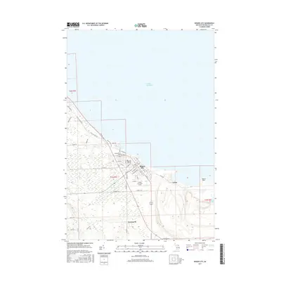 2017 Rogers City2017 Print · USGSCovers Rogers Township, including Rogers City, Bruningville, and other nearby areas
 - 2017 Map of Ocqueoc, 2017 Print
 2017 Ocqueoc2017 Print · USGSCovers Rogers Township, including Ocqueoc, Moltke Township, and other nearby areas
 - 2017 Map of Hawks, 2017 Print
 2017 Hawks2017 Print · USGSCovers Rogers Township, including Moltke Township, Big Cut, and other nearby areas
 - 2019 Map of Moltke, 2019 Print
 2019 Moltke2019 Print · USGSCovers Rogers Township, including Moltke, Moltke Township, and other nearby areas
 - 2019 Map of Metz, 2019 Print
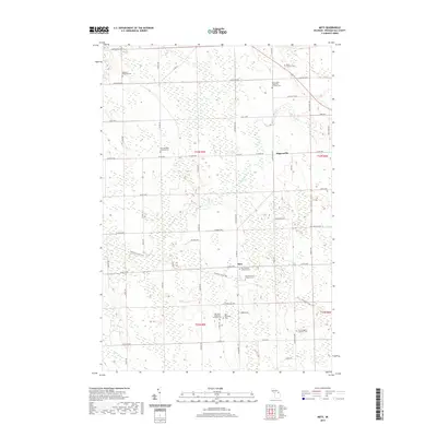 2019 Metz2019 Print · USGSCovers Rogers Township, including Belknap, Metz, and other nearby areas
 - 2019 Map of Ocqueoc, 2019 Print
 2019 Ocqueoc2019 Print · USGSCovers Rogers Township, including Ocqueoc, Moltke Township, and other nearby areas
 - 2019 Map of Rogers City, 2019 Print
 2019 Rogers City2019 Print · USGSCovers Rogers Township, including Rogers City, Bruningville, and other nearby areas
 - 2019 Map of Hawks, 2019 Print
 2019 Hawks2019 Print · USGSCovers Rogers Township, including Moltke Township, Big Cut, and other nearby areas
 - 2023 Map of Hawks, 2023 Print
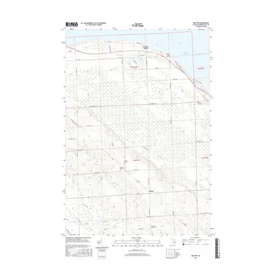
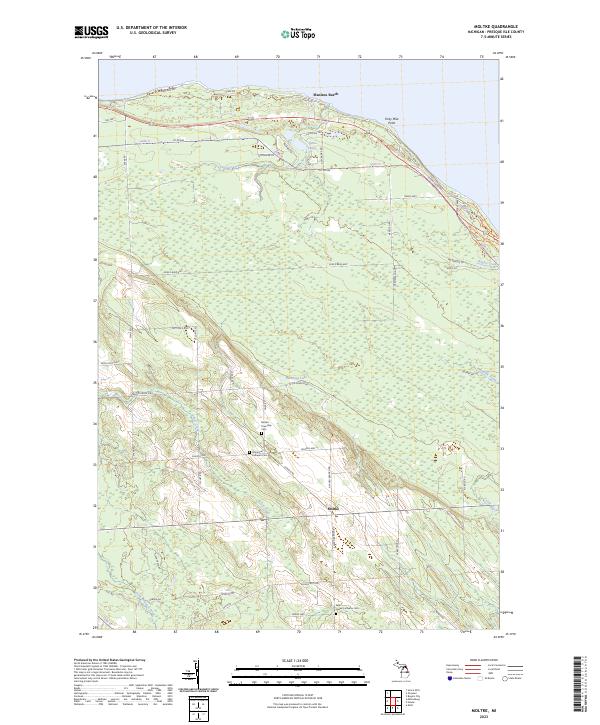
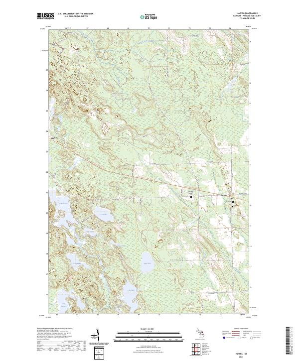 2023 Hawks2023 Print · USGSPresque Isle County’s lake-studded interior is captured here as the modern trail system follows the path of former industry. Researchers can trace family roots at Bismarck Township Cem or explore the settlement patterns around Hawks and Big Cut.
 - 2023 Map of Moltke, 2023 Print
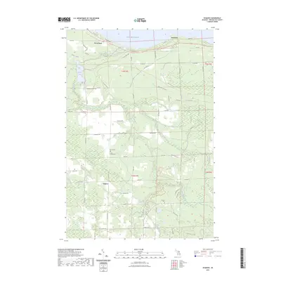
 2023 Moltke2023 Print · USGSCoastal Presque Isle County meets the interior farmlands in this modern survey of the Lake Huron shore. Genealogists can trace early settler footprints at Molke Township Cem and Immanuel Lutheran Cem near the hamlet of Moltke.
 - 2023 Map of Metz, 2023 Print
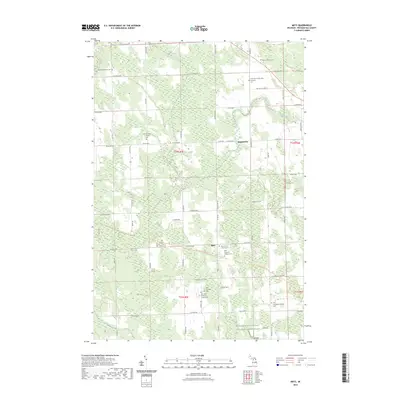 2023 Metz2023 Print · USGSPresque Isle County comes into focus in this contemporary survey of the rural landscape around Metz and Hagensville. Genealogists and historians can trace numerous pioneer sites, including Saint Michael's Lutheran Cem and the North Eastern State Trl.
 - 2023 Map of Rogers City, 2023 Print
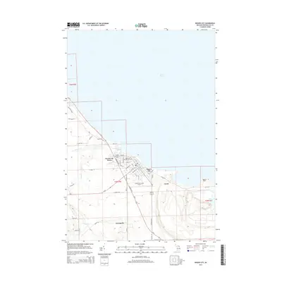
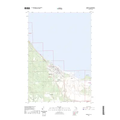 2023 Rogers City2023 Print · USGSRogers City and the surrounding Presque Isle County coastline are captured here in the early twenty-first century. Researchers can trace local genealogy and land use through landmarks like City Memorial Park Cem, the industrial site at Calcite, and the small community of Bruningville.
 - 2023 Map of Ocqueoc, 2023 Print
 2023 Ocqueoc2023 Print · USGSThe Lake Michigan shoreline and the interior of Presque Isle County appear in great detail during the early 2020s. Genealogists and local historians can trace family roots at Methodist Cem or locate landmarks like Ocqueoc Falls and Huron Beach.
End of results
Showing maps 1-25 of 25
Top cities near Rogers Township
- Rogers City historical maps
- Belknap historical maps
- Ocqueoc historical maps
- Moltke historical maps
- Metz historical maps
- Posen historical maps
See more
Top neighborhoods of Rogers Township
Frequently asked questions
- What are the different types of historical maps available for Rogers Township?
- What is the oldest map of Rogers Township?
- Where can I purchase historical maps of Rogers Township for my home or office?
- Where can I download high-res historical maps of Rogers Township?
- Are there historical topographic maps available for Rogers Township?
- Is there historical aerial imagery available for Rogers Township?
- Where are historical maps of Rogers Township sourced from?