Old Maps of Rogers Township, Michigan for Hiking & Exploration
Hike through history with 39 historic maps of Rogers Township. Explore old trails, ghost towns, and forgotten backroads — perfect for outdoor adventurers and local explorers.
- Rediscover forgotten places: Map out old mining camps, roads, and footpaths that no longer exist on modern maps.
- Layer with modern tools: Combine with LiDAR or satellite views to plan hikes through historical terrain.
- Made for exploration: Popular among hikers, overlanders, and local history lovers.
Use these maps to find adventure and explore the hidden past of Rogers Township.
Rogers Township, MI maps
(39)- 1954 Map of Alpena, 1978 Print
 1954 Alpena1978 Print · USGSThe northern waters of Lake Huron meet the Ontario islands during the mid-1950s, a time of active coastal shipping and timber management. Genealogists and historians can trace the Detroit and Mackinac rail line through Alpena or locate rural landmarks like St. Catharine Ch and Forty Mile Point.2 unique versions available
 - 1955 Map of Cheboygan, 1964 Print
 1955 Cheboygan1964 Print · USGSNorthern Michigan in the mid-fifties is a landscape of dense timber and deep water, showing the region just as the road network began to modernize. Trace family roots in lakeside towns like St Ignace and Petoskey, or follow the historic tracks of the Pennsylvania RR and New York Central RR.5 unique versions available
 - 1957 Map of Alpena
 1957 Alpena1957 Print · USGSNortheast Michigan and the islands of the North Channel are captured in the mid-1950s, showing the vital maritime and rail connections of the region. Researchers can trace the path of the Detroit and Mackinac RR or locate small settlements like Meldrum Bay and Lachine.
 - 1957 Map of Onaway, 1959 Print
 1957 Onaway1959 Print · USGSNorthern Michigan's timber and rail country is captured here in the late fifties, centered on the community of Onaway. Genealogists and historians can trace the Detroit and Mackinac railroad line, find old schools like Vibber Sch, and locate family plots in North Allis Cem.2 unique versions available
 - 1958 Map of Cheboygan
 1958 Cheboygan1958 Print · USGSThe tip of Michigan's Lower Peninsula and the surrounding Great Lakes islands are shown here in the late fifties, during the peak of the rail-and-ferry era. Trace the paths of the Pennsylvania RR and explore lakeside settlements like St James, Petoskey, and Indian River.2 unique versions available
 - 1958 Map of Alpena
 1958 Alpena1958 Print · USGSThe northern reaches of Lake Huron and the Ontario islands are mapped here in the late fifties. You can trace the Detroit and Mackinac RR through Rogers City or locate remote outposts like Meldrum Bay and St. Vital church.
 - 1969 Map of Alpena
 1969 Alpena1969 Print · USGSThe Lake Huron coastline and the Manitoulin islands come alive in this mid-century survey of the Michigan-Ontario border. Genealogists and historians can trace the Detroit and Mackinac rail line through settlements like Lachine and Cathro, or locate the numerous island reservations including Obigewong Indian Reservation No 21.
 - 1971 Map of Rogers City, 1974 Print
 1971 Rogers City1974 Print · USGSPresque Isle County’s industrial and lakeside character comes to life in the early 1970s. Genealogists and researchers can trace the streets of Rogers City, locate parochial schools like St Johns Sch, and see the footprint of the massive Quarry.
 - 1971 Map of Hawks, 1974 Print
 1971 Hawks1974 Print · USGSNorthern Presque Isle County appears in the early 1970s as a landscape of timber, rail, and numerous glacial lakes. Researchers can trace the village of Hawks, identify local burial sites like Hope Cem, and locate long-standing landmarks such as Hawks Sch.2 unique versions available
 - 1971 Map of Metz, 1974 Print
 1971 Metz1974 Print · USGSMetz and the surrounding Presque Isle County countryside appear in the early 1970s as a landscape of timber, rail, and rural townships. Genealogists can locate family landmarks like Township Cem and St Johns Ch or trace the Detroit and Mackinac railroad line.
 - 1971 Map of Moltke, 1974 Print
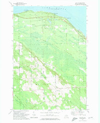 1971 Moltke1974 Print · USGSPresque Isle County’s Lake Huron shoreline and timberlands are captured here in the early seventies. Genealogists and local historians can trace family-named landmarks and rural hubs like Moltke, the Forty Mile Point Lighthouse, and St James Cem.
 - 1982 Map of Petoskey
 1982 Petoskey1982 Print · USGSNorthern Michigan in the early eighties shows a landscape of deep timber and vast inland lakes. Genealogists and historians can trace the rail corridors of the Michigan Central and Detroit and Mackinac between Petoskey, Gaylord, and Wolverine.
 - 1984 Map of Alpena
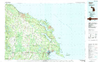 1984 Alpena1984 Print · USGSThe Lake Huron shoreline in the 1980s reveals a region defined by maritime industry, timberlands, and vast inland waters. Genealogists and historians can trace the Detroit and Mackinac Railroad past old settlements like Posen, Hagensville, and the harbor at Rockport.
 - 1986 Map of Ocqueoc
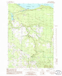 1986 Ocqueoc1986 Print · USGSCoastal Presque Isle County is captured here in the mid-1980s, showcasing the intersection of Lake Huron shorelines and deep state forests. Researchers can trace the path of the Ocqueoc River to Ocqueoc Falls or locate the shoreline community of Huron Beach.
 - 2011 Map of Ocqueoc, 2011 Print
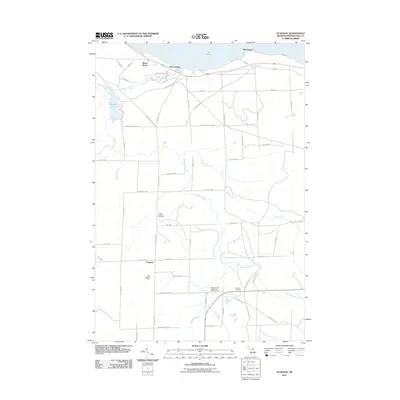 2011 Ocqueoc2011 Print · USGSThe northern tip of Michigan’s Lower Peninsula is shown here during the early twenty-first century as the Ocqueoc River flows toward Lake Huron. Researchers can locate historic burial grounds at Trinity Lutheran Cemetery and find landmarks like Ocqueoc Falls and the King Lookout Tower.
 - 2011 Map of Rogers City, 2011 Print
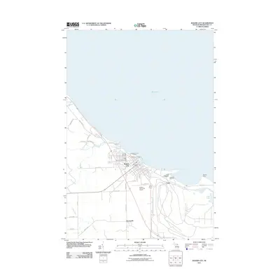 2011 Rogers City2011 Print · USGSRogers City and the Presque Isle shoreline are captured in this recent study of Michigan's industrial and maritime landscape. Genealogists and historians can trace the development of Calcite and Bruningville, or locate industrial sites like the United States Steel Corporation.
 - 2011 Map of Hawks, 2011 Print
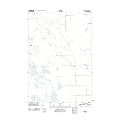 2011 Hawks2011 Print · USGSMoltke Township is captured here in the early 2000s, showing a transition from dense lake clusters to structured farmland. Genealogists can locate family sites near Bismarck Township Cemetery or the historic Hawks Post Office.
 - 2011 Map of Moltke, 2011 Print
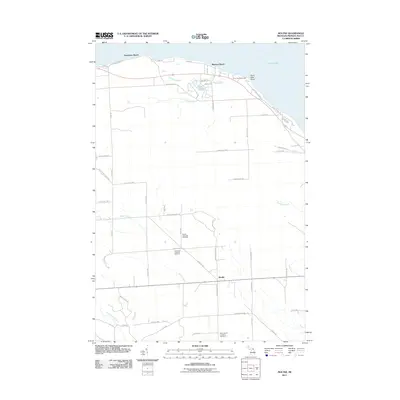 2011 Moltke2011 Print · USGSThe Lake Huron shoreline of Presque Isle County meets the interior farmsteads of Moltke Township in the early twenty-first century. Researchers can trace family sites near Moltke Township Cemetery and the landmark Forty Mile Point Light.
 - 2011 Map of Metz, 2011 Print
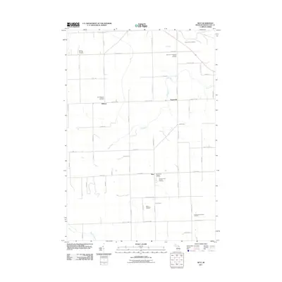 2011 Metz2011 Print · USGSPresque Isle County's rural townships are mapped here at the turn of the decade, showing a landscape of scattered agricultural settlements and many family-linked burial grounds. Genealogists can locate several historic sites including Saint John's Hagenville Lutheran Cemetery, the Metz Township Cemetery, and Hagensville.
 - 2014 Map of Metz, 2014 Print
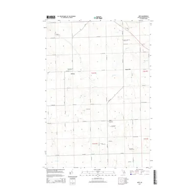 2014 Metz2014 Print · USGSPresque Isle County in the early 2010s remains a landscape of tightly-knit rural townships and family-named roads. Local historians can trace the foundations of the community through its numerous burial sites, including the Old Evangelist Lutheran Cem and Saint Dominic's Catholic Cem.
 - 2014 Map of Hawks, 2014 Print
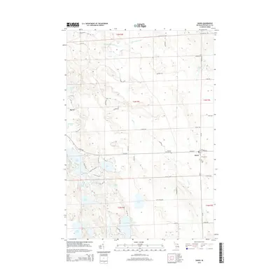 2014 Hawks2014 Print · USGSPresque Isle County in the early twenty-first century remains a landscape of quiet settlements and glacial lakes. Genealogists can locate family landmarks at Hawks, Big Cut, and several local burial grounds including the Bismarck Township Cem.
 - 2014 Map of Moltke, 2014 Print
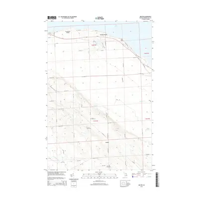 2014 Moltke2014 Print · USGSPresque Isle County's shoreline and rural Moltke Township are captured here in the mid-2010s. Researchers can locate specific family burial sites at Moltke Township Cemetery or trace the coastal landscape around Forty Mile Point and Manitou Beach.
 - 2014 Map of Rogers City, 2014 Print
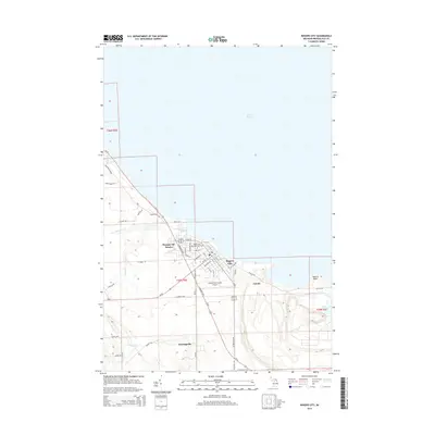 2014 Rogers City2014 Print · USGSThe Lake Huron coastline near Rogers City is documented here just after the turn of the millennium, highlighting the intersection of maritime industry and rural life. Researchers can trace the industrial footprint of Calcite and find local landmarks like Bruningville and the Rogers City Memorial Park Cem.
 - 2014 Map of Ocqueoc, 2014 Print
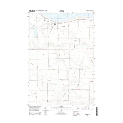 2014 Ocqueoc2014 Print · USGSPresque Isle County's northern shore and interior river systems are documented here in the early twenty-first century. Genealogists and local historians can trace the rural landscape near Ocqueoc, finding landmarks like the Trinity Lutheran Cem and the Ocqueoc Falls.
 - 2017 Map of Moltke, 2017 Print
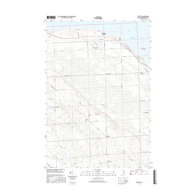 2017 Moltke2017 Print · USGSThe Lake Huron shoreline and rural interior of Presque Isle County are captured here in the late twenty-teens. Genealogists and local historians can trace family ties at Moltke Township Cem or explore the area around Manitou Beach and Forty Mile Point.
Showing maps 1-25 of 39
Top cities near Rogers Township
- Rogers City historical maps
- Belknap historical maps
- Ocqueoc historical maps
- Moltke historical maps
- Metz historical maps
- Posen historical maps
See more
Top neighborhoods of Rogers Township
Frequently asked questions
- What are the different types of historical maps available for Rogers Township?
- What is the oldest map of Rogers Township?
- Where can I purchase historical maps of Rogers Township for my home or office?
- Where can I download high-res historical maps of Rogers Township?
- Are there historical topographic maps available for Rogers Township?
- Is there historical aerial imagery available for Rogers Township?
- Where are historical maps of Rogers Township sourced from?