Old Maps of Richfield Township, Michigan for Academic Research
Study the evolution of Richfield Township with 40 high-resolution historic maps. Whether you're teaching, researching, or modeling changes in land use, these maps provide essential visual documentation of urban, environmental, and geographic change.
- Analyze long-term change: Track patterns in development, transportation, and natural features.
- Ideal for environmental or urban studies: Support academic projects with primary historical map data.
- Use in the classroom or lab: Educators and researchers rely on these maps to bring historical context to life.
These maps are a powerful tool for teaching, research, and visualizing how Richfield Township has changed over the decades.
Richfield Township, MI maps
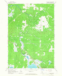
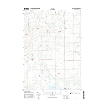
(40)- 1954 Map of Traverse City, 1965 Print
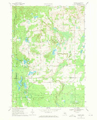
 1954 Traverse City1965 Print · USGSNorthern Michigan’s vast lakeshores and timberlands are captured here in the mid-fifties, showing the region before the modern interstate era. Genealogists and researchers can trace rail connections like the Detroit and Mackinac RR or find old communities such as Suttons Bay, Elk Rapids, and Prudenville.4 unique versions available
 - 1958 Map of Traverse City
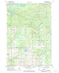
 1958 Traverse City1958 Print · USGSNorthern Lower Michigan was a landscape of vast state forests and burgeoning lakeside retreats in the late fifties. Genealogists and historians can trace the rail corridors of the Ann Arbor RR and find established settlements from Elk Rapids to Houghton Lake.2 unique versions available
 - 1965 Map of St. Helen NW, 1966 Print
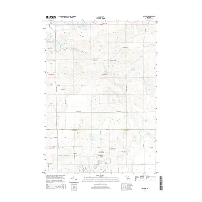
 1965 St. Helen NW1966 Print · USGSThe Au Sable River headwaters and the sprawling Au Sable State Forest define this mid-1960s Roscommon County landscape. Genealogists and historians can trace old logging routes like the Old Railroad Grade and locate early settlements such as Geels, Keno, and St Helen.2 unique versions available
 - 1965 Map of St. Helen NE, 1966 Print
 1965 St. Helen NE1966 Print · USGSOgemaw County's transition from timber harvesting to recreational forest is evident in this mid-sixties survey. Researchers can trace historic land use through the Old Railroad Grade, find family sites near Fisk Cem, and locate the Oil Well and Claypit that supported the local economy.2 unique versions available
 - 1965 Map of St. Helen, 1966 Print
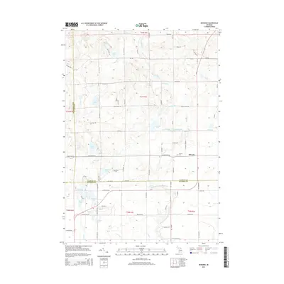
 1965 St. Helen1966 Print · USGSThe lakeside community of St. Helen and the surrounding state forest are captured here in the mid-1960s. Researchers can trace the New York Central Railroad corridor and locate local landmarks like Fairview Cem and Artesia Beach.2 unique versions available
 - 1965 Map of Ogemaw Springs, 1966 Print
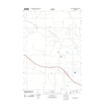
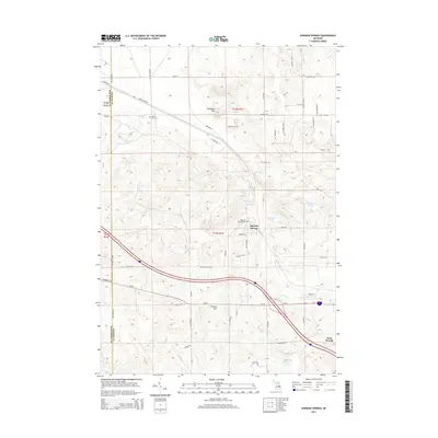
 1965 Ogemaw Springs1966 Print · USGSOgemaw County in the mid-1960s reveals a landscape of state forests, rail lines, and scattered rural landmarks. Genealogists and local historians can locate the Beaver Lake Cem, the Pleasant Hill Sch, and a notable Indian Mound near Ogemaw Springs.2 unique versions available
 - 1969 Map of Edwards, 1971 Print
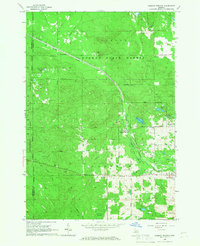
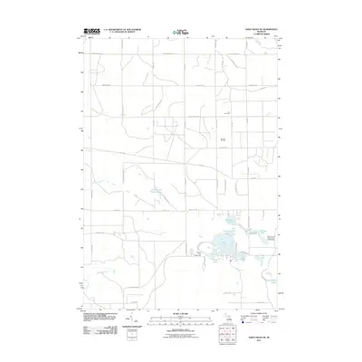
 1969 Edwards1971 Print · USGSCentral Michigan's lake-studded woodlands are captured here in the late sixties at the intersection of Ogemaw, Roscommon, and Gladwin counties. Genealogists and local historians can trace family-named routes and community landmarks like Edwards Cem, Oak Grove Ch, and the settlement of Edwards.
 - 1969 Map of Butman, 1971 Print
 1969 Butman1971 Print · USGSThe northern Michigan woods at the turn of the 1970s reveal a landscape of timber, water, and early oil exploration. Genealogists and historians can trace the rural community of Butman, locate the Butman Cem, and follow the banks of the Sugar River.
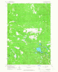
 - 1983 Map of Houghton Lake, 1984 Print
 1983 Houghton Lake1984 Print · USGSIn the early 1980s, the Michigan heartland around Houghton Lake was a patchwork of state forest and growing lakeside resorts. Genealogists and historians can trace the development of communities like West Branch and Rose City alongside landmarks like Roscommon County Airfield.
 - 1989 Map of Traverse City, 1990 Print
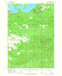
 1989 Traverse City1990 Print · USGSNorthern Michigan’s lake-country and forest lands are captured in the late eighties as seasonal tourism and timber hubs expanded. Genealogists and historians can trace the routes of the Ann Arbor RR, the boundaries of Camp Grayling, and settlements like Elk Rapids and Manton.
 - 2011 Map of Ogemaw Springs, 2011 Print
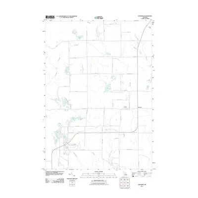
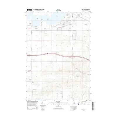
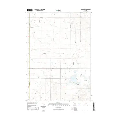
 2011 Ogemaw Springs2011 Print · USGSCovers Richfield Township, including West Branch, Foster Township, and other nearby areas
 - 2011 Map of Saint Helen NE, 2011 Print
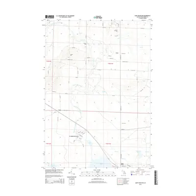
 2011 Saint Helen NE2011 Print · USGSCovers Richfield Township, including Foster Township, Au Sable Township, and other nearby areas
 - 2011 Map of Edwards, 2011 Print
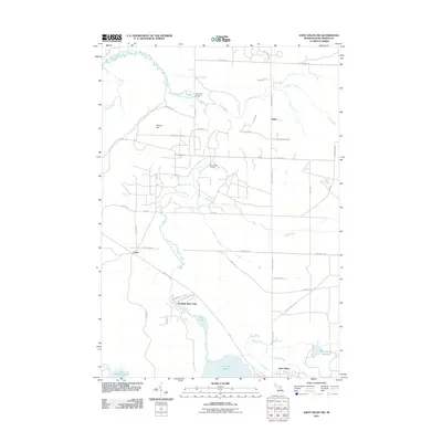
 2011 Edwards2011 Print · USGSCovers Richfield Township, including Edwards, Butman Township, and other nearby areas
 - 2011 Map of Saint Helen, 2011 Print
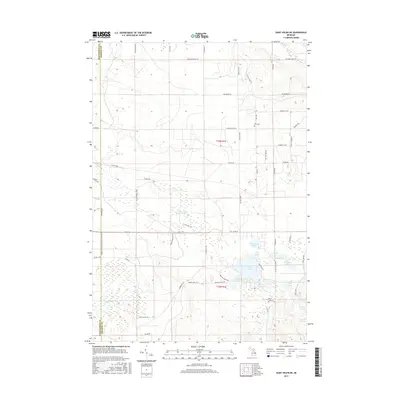
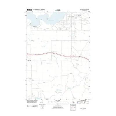 2011 Saint Helen2011 Print · USGSCovers Richfield Township, including Saint Helen, Higgins Township, and other nearby areas
 - 2011 Map of Saint Helen NW, 2011 Print
 2011 Saint Helen NW2011 Print · USGSCovers Richfield Township, including Higgins Township, Keno, and other nearby areas
 - 2011 Map of Butman, 2011 Print
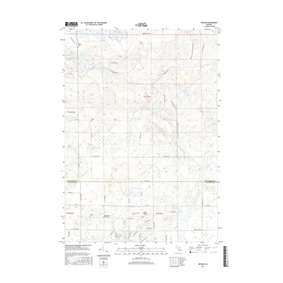
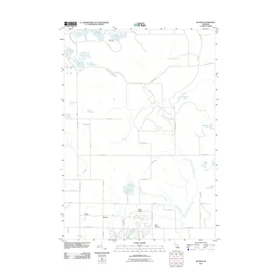 2011 Butman2011 Print · USGSCovers Richfield Township, including Butman, Butman Township, and other nearby areas
 - 2014 Map of Saint Helen, 2014 Print
 2014 Saint Helen2014 Print · USGSCovers Richfield Township, including Saint Helen, Higgins Township, and other nearby areas
 - 2014 Map of Ogemaw Springs, 2014 Print
 2014 Ogemaw Springs2014 Print · USGSCovers Richfield Township, including West Branch, Foster Township, and other nearby areas
 - 2014 Map of Edwards, 2014 Print
 2014 Edwards2014 Print · USGSCovers Richfield Township, including Edwards, Butman Township, and other nearby areas
 - 2014 Map of Butman, 2014 Print
 2014 Butman2014 Print · USGSCovers Richfield Township, including Butman, Butman Township, and other nearby areas
 - 2014 Map of Saint Helen NE, 2014 Print
 2014 Saint Helen NE2014 Print · USGSCovers Richfield Township, including Foster Township, Au Sable Township, and other nearby areas
 - 2014 Map of Saint Helen NW, 2014 Print
 2014 Saint Helen NW2014 Print · USGSCovers Richfield Township, including Higgins Township, Keno, and other nearby areas
 - 2017 Map of Saint Helen NE, 2017 Print
 2017 Saint Helen NE2017 Print · USGSCovers Richfield Township, including Foster Township, Au Sable Township, and other nearby areas
 - 2017 Map of Butman, 2017 Print
 2017 Butman2017 Print · USGSCovers Richfield Township, including Butman, Butman Township, and other nearby areas
 - 2017 Map of Saint Helen NW, 2017 Print
 2017 Saint Helen NW2017 Print · USGSCovers Richfield Township, including Higgins Township, Keno, and other nearby areas
Showing maps 1-25 of 40
Top cities near Richfield Township
- Saint Helen historical maps
- Butman historical maps
- West Branch historical maps
- Prudenville historical maps
- Edwards historical maps
- Roscommon historical maps
Top neighborhoods of Richfield Township
- Artesia Beach historical maps
- Au Sable River Park historical maps
- Geels historical maps
- Maple Valley historical maps
- Saint Helen historical maps
Frequently asked questions
- What are the different types of historical maps available for Richfield Township?
- What is the oldest map of Richfield Township?
- Where can I purchase historical maps of Richfield Township for my home or office?
- Where can I download high-res historical maps of Richfield Township?
- Are there historical topographic maps available for Richfield Township?
- Is there historical aerial imagery available for Richfield Township?
- Where are historical maps of Richfield Township sourced from?