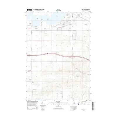
2014 Map of Saint Helen
USGS Topo · Published 2014About this map
Lake Saint Helen dominates the northern reaches of this Roscommon County landscape, its irregular shoreline defined by Long Point, Birch Point, and Norway Point. The community of Saint Helen is situated along the lake's eastern shore, serving as a central hub for the surrounding residential and recreational developments like Artesia Beach. Aviation infrastructure is represented by the St Helen Airport located just north of the village.
Find a feature on this map
119 named features on this map. Tap any name to fly to it.
Don’t see what you’re looking for? This feature index may not catch every label — zoom into the map to look around manually.
Map Details
Editions of this 2014 Saint Helen Map
This is the sole edition of this map. No revisions or reprints were ever made.
Other maps of this area

1954 · Traverse City
USGS Topo · 1:250,000

1958 · Traverse City
USGS Topo · 1:250,000

1963 · Roscommon South
USGS Topo · 1:24,000

1963 · Backus Lake
USGS Topo · 1:24,000

1965 · St. Helen NW
USGS Topo · 1:24,000

1965 · St. Helen NE
USGS Topo · 1:24,000

1965 · St. Helen
USGS Topo · 1:24,000

1965 · Ogemaw Springs
USGS Topo · 1:24,000

1969 · Meredith
USGS Topo · 1:24,000

1969 · Edwards
USGS Topo · 1:24,000