2000s (21st Century) Maps of Van Buren County, Michigan
Explore 95 historic maps of Van Buren County from the 2000s (21st Century). These maps offer a rare glimpse into what life looked like during the 2000s — showing old roads, neighborhoods, homes, and landmarks that have changed or disappeared over time.
Whether you're researching your family's past, planning a metal detecting trip, or studying how Van Buren County's landscape evolved across the 2000s, these high-resolution maps are a powerful tool for exploring the history of this region.
- Focus on a specific era: All maps on this page are from the 2000s, giving you a focused view of this time period.
- See what’s changed: Compare century-old streets, trails, and buildings to today's modern landscape using overlays and satellite layers.
- Research with precision: Use these maps for genealogy, historical research, land use analysis, or educational projects.
- View, download, or print: Maps are fully viewable online in high resolution, and can be downloaded or printed for your own records.
Start exploring Van Buren County's history through authentic maps from the 2000s. This is your window into the past.
Van Buren County, MI maps
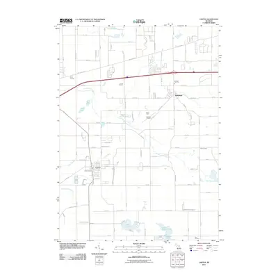
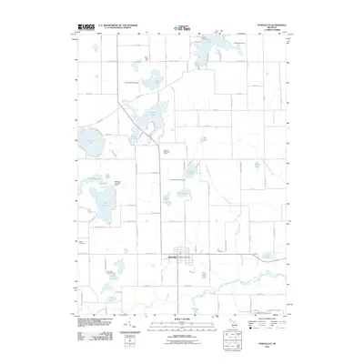
(95)- 2011 Map of Lawrence, 2011 Print
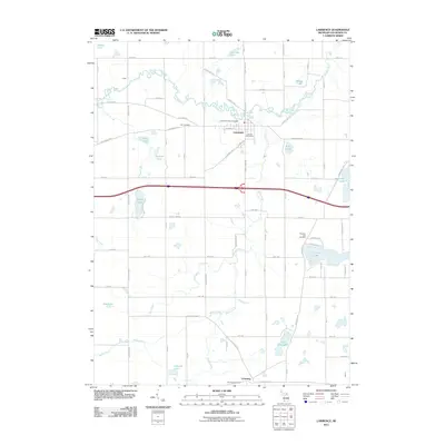 2011 Lawrence2011 Print · USGSCovers Van Buren County, including Lawrence, Bangor Township, and other nearby areas
 - 2011 Map of Pullman, 2011 Print
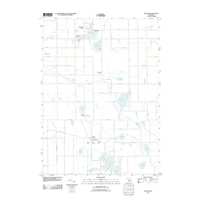 2011 Pullman2011 Print · USGSCovers Van Buren County, including Lee, Columbia Township, and other nearby areas
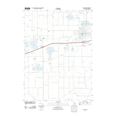
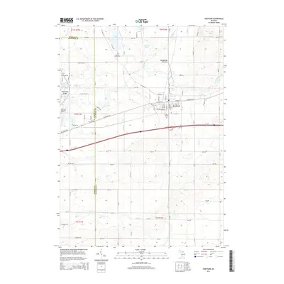
 - 2011 Map of Hartford, 2011 Print
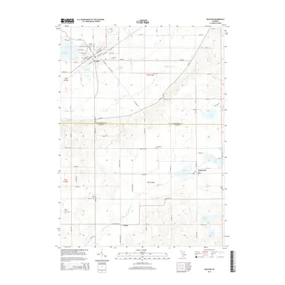
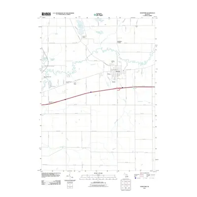 2011 Hartford2011 Print · USGSCovers Van Buren County, including Hartford, Watervliet, and other nearby areas
 - 2011 Map of Sister Lakes, 2011 Print
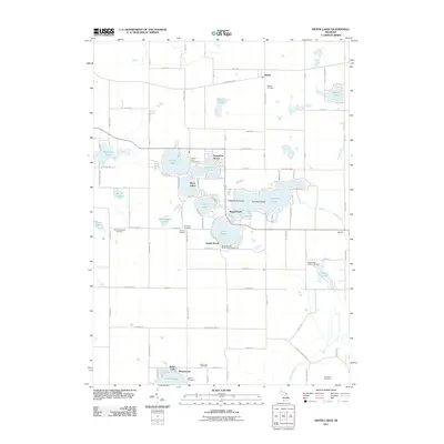 2011 Sister Lakes2011 Print · USGSCovers Van Buren County, including Keeler, Bainbridge Township, and other nearby areas
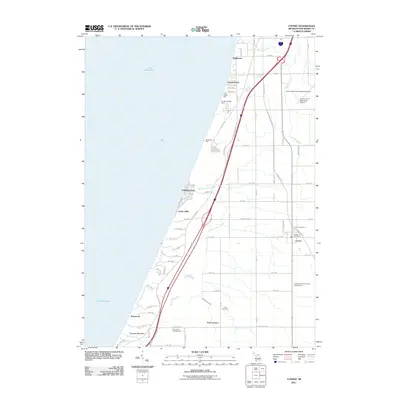
 - 2011 Map of South Haven, 2011 Print
 2011 South Haven2011 Print · USGSCovers Van Buren County, including South Haven, Indian Grove, and other nearby areas
 - 2011 Map of Bangor, 2011 Print
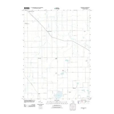
 2011 Bangor2011 Print · USGSCovers Van Buren County, including Bangor, Breedsville, and other nearby areas
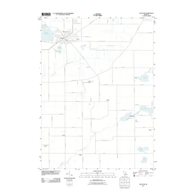
 - 2011 Map of McDonald, 2011 Print
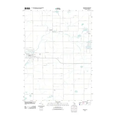
 2011 McDonald2011 Print · USGSCovers Van Buren County, including Bangor, Bangor Township, and other nearby areas
 - 2011 Map of Twin Lakes, 2011 Print
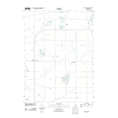 2011 Twin Lakes2011 Print · USGSCovers Van Buren County, including Glenwood, Wayne Township, and other nearby areas
 - 2011 Map of Coloma, 2011 Print
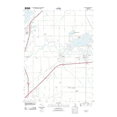 2011 Coloma2011 Print · USGSCovers Van Buren County, including Watervliet, Coloma, and other nearby areas
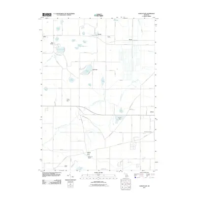
 - 2011 Map of Lacota, 2011 Print
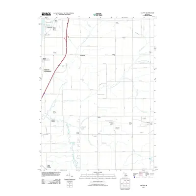 2011 Lacota2011 Print · USGSCovers Van Buren County, including South Haven, Geneva Township, and other nearby areas
 - 2011 Map of Covert, 2011 Print
 2011 Covert2011 Print · USGSCovers Van Buren County, including South Haven, Covert, and other nearby areas
 - 2011 Map of Gobles West, 2011 Print
 2011 Gobles West2011 Print · USGSCovers Van Buren County, including Gobles, Columbia Township, and other nearby areas
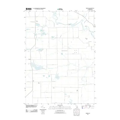
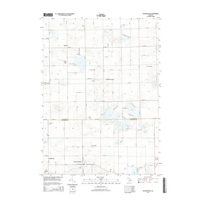
 - 2011 Map of Bloomingdale, 2011 Print
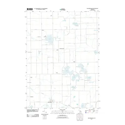 2011 Bloomingdale2011 Print · USGSCovers Van Buren County, including Bloomingdale, Trowbridge Township, and other nearby areas
 - 2011 Map of Lawton, 2011 Print
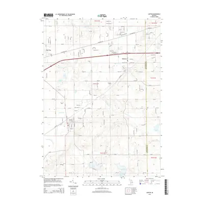
 2011 Lawton2011 Print · USGSCovers Van Buren County, including Paw Paw, Mattawan, and other nearby areas
 - 2011 Map of Decatur, 2011 Print
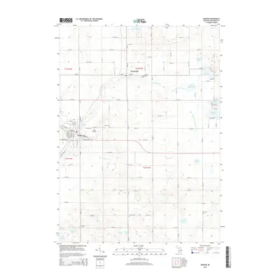
 2011 Decatur2011 Print · USGSCovers Van Buren County, including Decatur, Volinia, and other nearby areas
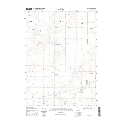
 - 2011 Map of Gobles East, 2011 Print
 2011 Gobles East2011 Print · USGSCovers Van Buren County, including Almena, Pine Grove, and other nearby areas
 - 2011 Map of Merson, 2011 Print
 2011 Merson2011 Print · USGSCovers Van Buren County, including Trowbridge Township, Alamo Township, and other nearby areas
 - 2011 Map of Marcellus, 2011 Print
 2011 Marcellus2011 Print · USGSCovers Van Buren County, including Marcellus, Marcellus Township, and other nearby areas
 - 2011 Map of Paw Paw, 2011 Print
 2011 Paw Paw2011 Print · USGSCovers Van Buren County, including Paw Paw, Antwerp Township, and other nearby areas
 - 2014 Map of Bloomingdale, 2014 Print
 2014 Bloomingdale2014 Print · USGSCovers Van Buren County, including Bloomingdale, Trowbridge Township, and other nearby areas
 - 2014 Map of Gobles East, 2014 Print
 2014 Gobles East2014 Print · USGSCovers Van Buren County, including Almena, Pine Grove, and other nearby areas
 - 2014 Map of Lawton, 2014 Print
 2014 Lawton2014 Print · USGSCovers Van Buren County, including Paw Paw, Mattawan, and other nearby areas
 - 2014 Map of Decatur, 2014 Print
 2014 Decatur2014 Print · USGSCovers Van Buren County, including Decatur, Volinia, and other nearby areas
 - 2014 Map of Hartford, 2014 Print
 2014 Hartford2014 Print · USGSCovers Van Buren County, including Hartford, Watervliet, and other nearby areas
 - 2014 Map of Bangor, 2014 Print
 2014 Bangor2014 Print · USGSCovers Van Buren County, including Bangor, Breedsville, and other nearby areas
Showing maps 1-25 of 95
Top cities of Van Buren County
Frequently asked questions
- What are the different types of historical maps available for Van Buren County?
- What is the oldest map of Van Buren County?
- Where can I purchase historical maps of Van Buren County for my home or office?
- Where can I download high-res historical maps of Van Buren County?
- Are there historical topographic maps available for Van Buren County?
- Is there historical aerial imagery available for Van Buren County?
- Where are historical maps of Van Buren County sourced from?