Old Maps of Perch Lake Township, Minnesota for Genealogy
Trace your family roots with 28 historic maps of Perch Lake Township. These high-res maps reveal old neighborhoods, homesites, landmarks, and streets — helping you uncover where your ancestors lived and how the area evolved over time.
- Explore historic neighborhoods: Identify where your relatives may have lived in the 1800s or 1900s.
- Compare maps over time: Trace the changes in streets, buildings, and landmarks for multi-generational research.
- Perfect for genealogy & ancestry research: Used by family historians and researchers to map out lineage and migration.
These maps are an incredible resource for exploring your personal connection to Perch Lake Township's past.
Perch Lake Township, MN maps
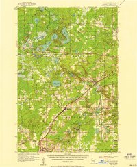
(28)- 1953 Map of Brookston, 1955 Print
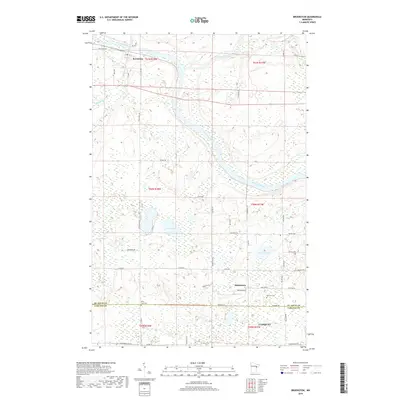
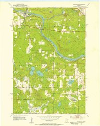 1953 Brookston1955 Print · USGSBrookston and the surrounding St. Louis County wetlands are seen here in the early fifties, where the river-and-rail corridor meets tribal lands. Genealogists and local historians can trace the Great Northern rail line, identify the sites of Birch Lake Cem, and locate the old Landing Field.3 unique versions available
 - 1953 Map of Duluth, 1964 Print
 1953 Duluth1964 Print · USGSNortheastern Minnesota and northwestern Wisconsin are shown here during a period of industrial maturity and expanding conservation. Genealogists and historians can trace rail-connected towns like McGrath and Wahkon, or locate heritage sites within the Fond du Lac Indian Reservation.2 unique versions available
 - 1954 Map of Iverson, 1955 Print
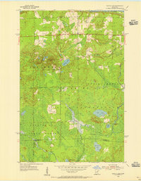
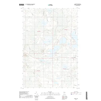
 1954 Iverson1955 Print · USGSCarlton County's forested wetlands and rail corridors are captured here in the mid-1950s. Researchers can trace the Northern Pacific tracks through Iverson or locate historic local landmarks like the Big Lake Chapel and the Cloquet Forest Experiment Station.2 unique versions available
 - 1954 Map of Sawyer, 1956 Print
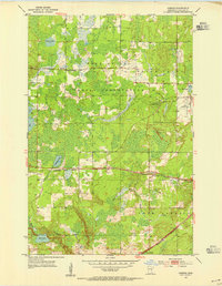
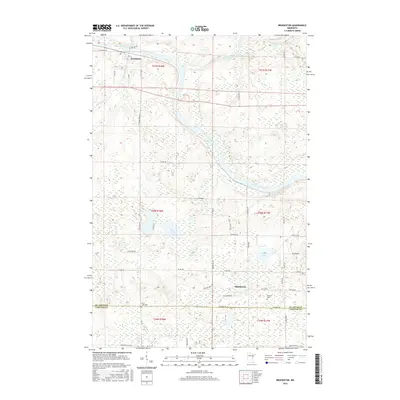
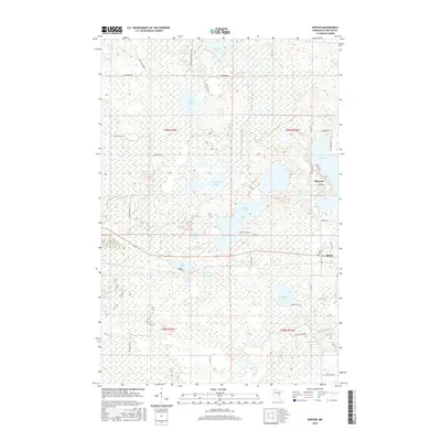
 1954 Sawyer1956 Print · USGSSawyer and the surrounding Carlton County wetlands are documented here in the mid-1950s during a period of forest management and rail transit. Genealogists and local historians can trace the community around Mary and Joseph Ch and the Northern Pacific line near Perch Lake.3 unique versions available
 - 1954 Map of Martin Lake, 1956 Print
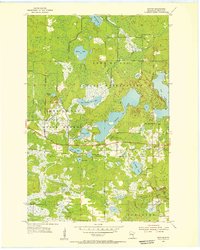
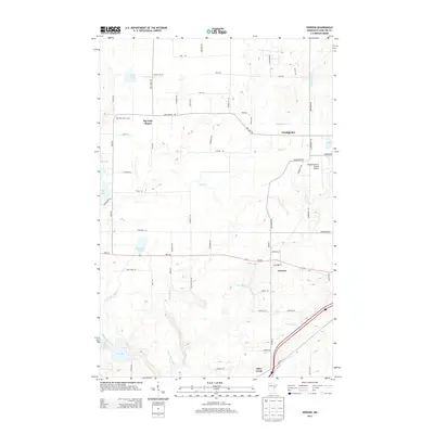
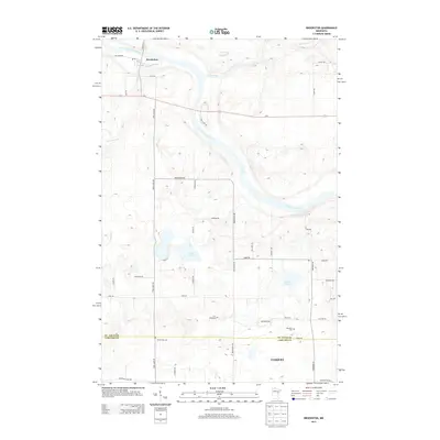
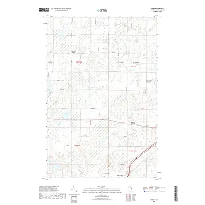
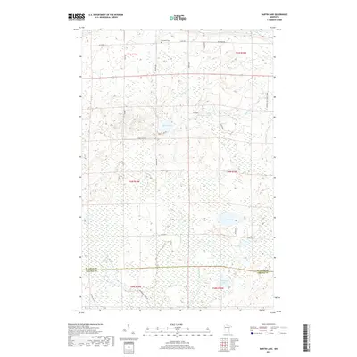
 1954 Martin Lake1956 Print · USGSNortheastern Minnesota in the mid-fifties is captured here as a landscape of timber and wetlands within the Fond Du Lac Indian Reservation. Researchers can trace the Great Northern rail line near Brookston and locate local landmarks like the Town Hall and Martin Lake.3 unique versions available
 - 1956 Map of Barnum, 1958 Print
 1956 Barnum1958 Print · USGSIn the mid-fifties, the Northern Pacific railroad still served as the primary spine connecting Carlton County settlements. Genealogists and historians can trace the locations of Salem Cem, the Blackhoof Valley Sch, and the Zion Ch during this era.2 unique versions available
 - 1958 Map of Duluth
 1958 Duluth1958 Print · USGSNortheastern Minnesota and the Wisconsin borderlands are shown in detail during the late 1950s, centered on the bustling rail yards and ports of Duluth. You can trace the historic routes of the Soo Line and Duluth Missabe & Iron Range through small towns like McGrath, Bruno, and Wrenshall.
 - 1980 Map of Duluth
 1980 Duluth1980 Print · USGSThe Twin Ports of the early 1980s showcase a landscape defined by heavy rail lines and Lake Superior shipping. Trace the iron-ore routes through Proctor or locate family sites near Sunrise Memorial Cem and Floodwood.
 - 2010 Map of Iverson, 2010 Print
 2010 Iverson2010 Print · USGSCovers Perch Lake Township, including Cloquet, Atkinson Township, and other nearby areas
 - 2010 Map of Sawyer, 2010 Print
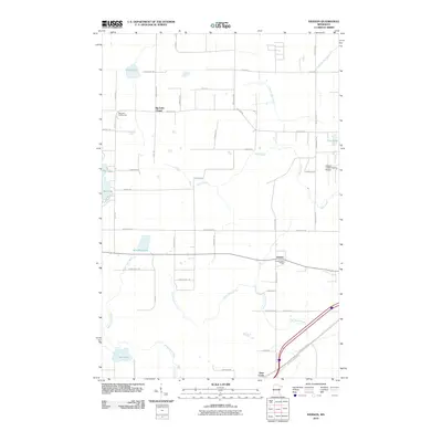
 2010 Sawyer2010 Print · USGSCovers Perch Lake Township, including Atkinson Township, Sawyer, and other nearby areas
 - 2010 Map of Brookston, 2010 Print
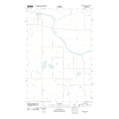 2010 Brookston2010 Print · USGSCovers Perch Lake Township, including Cloquet, Brookston, and other nearby areas
 - 2010 Map of Martin Lake, 2010 Print
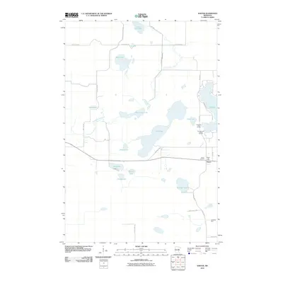
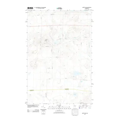
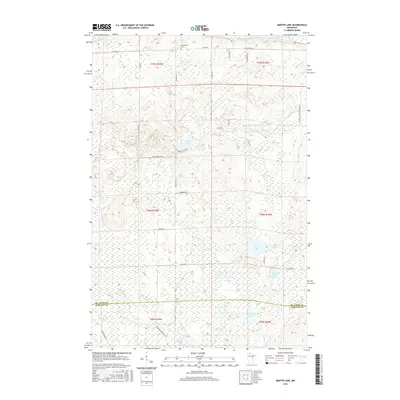
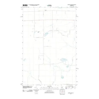 2010 Martin Lake2010 Print · USGSCovers Perch Lake Township, including North Carlton, Stoney Brook Township, and other nearby areas
 - 2013 Map of Iverson, 2013 Print
 2013 Iverson2013 Print · USGSCovers Perch Lake Township, including Cloquet, Atkinson Township, and other nearby areas
 - 2013 Map of Sawyer, 2013 Print
 2013 Sawyer2013 Print · USGSCovers Perch Lake Township, including Atkinson Township, Sawyer, and other nearby areas
 - 2013 Map of Martin Lake, 2013 Print
 2013 Martin Lake2013 Print · USGSCovers Perch Lake Township, including North Carlton, Stoney Brook Township, and other nearby areas
 - 2013 Map of Brookston, 2013 Print
 2013 Brookston2013 Print · USGSCovers Perch Lake Township, including Cloquet, Brookston, and other nearby areas
 - 2016 Map of Brookston, 2016 Print
 2016 Brookston2016 Print · USGSCovers Perch Lake Township, including Cloquet, Brookston, and other nearby areas
 - 2016 Map of Iverson, 2016 Print
 2016 Iverson2016 Print · USGSCovers Perch Lake Township, including Cloquet, Atkinson Township, and other nearby areas
 - 2016 Map of Martin Lake, 2016 Print
 2016 Martin Lake2016 Print · USGSCovers Perch Lake Township, including North Carlton, Stoney Brook Township, and other nearby areas
 - 2016 Map of Sawyer, 2016 Print
 2016 Sawyer2016 Print · USGSCovers Perch Lake Township, including Atkinson Township, Sawyer, and other nearby areas
 - 2019 Map of Sawyer, 2019 Print
 2019 Sawyer2019 Print · USGSCovers Perch Lake Township, including Atkinson Township, Sawyer, and other nearby areas
 - 2019 Map of Brookston, 2019 Print
 2019 Brookston2019 Print · USGSCovers Perch Lake Township, including Cloquet, Brookston, and other nearby areas
 - 2019 Map of Iverson, 2019 Print
 2019 Iverson2019 Print · USGSCovers Perch Lake Township, including Cloquet, Atkinson Township, and other nearby areas
 - 2019 Map of Martin Lake, 2019 Print
 2019 Martin Lake2019 Print · USGSCovers Perch Lake Township, including North Carlton, Stoney Brook Township, and other nearby areas
 - 2022 Map of Martin Lake, 2022 Print
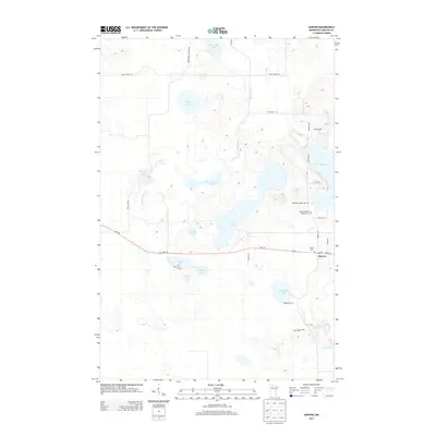
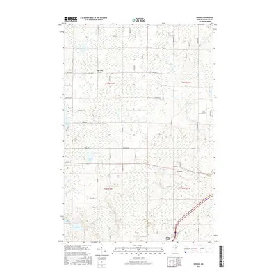
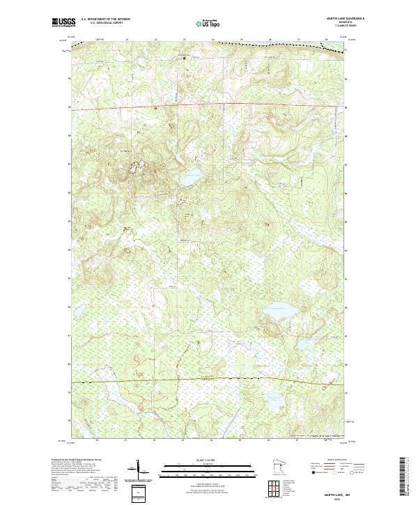 2022 Martin Lake2022 Print · USGSSt. Louis and Carlton Counties are shown in the 2020s, featuring a landscape of dense wetlands and remote woodland roads. Genealogists and local historians can locate the Arrowhead Cem and trace property access via Maki Rd and Martin Lake Rd.
Showing maps 1-25 of 28
Top cities near Perch Lake Township
- Cloquet historical maps
- Grand Lake historical maps
- Scanlon historical maps
- Carlton historical maps
- Barnum historical maps
- Mahtowa historical maps
See more
Top neighborhoods of Perch Lake Township
Frequently asked questions
- What are the different types of historical maps available for Perch Lake Township?
- What is the oldest map of Perch Lake Township?
- Where can I purchase historical maps of Perch Lake Township for my home or office?
- Where can I download high-res historical maps of Perch Lake Township?
- Are there historical topographic maps available for Perch Lake Township?
- Is there historical aerial imagery available for Perch Lake Township?
- Where are historical maps of Perch Lake Township sourced from?