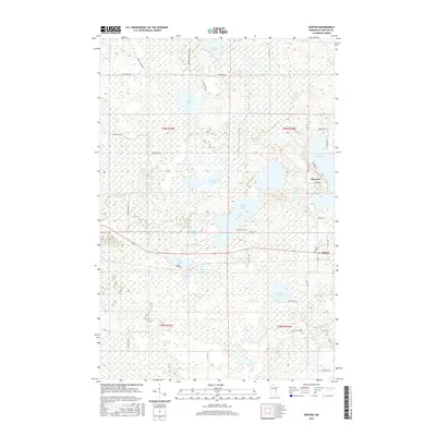
2016 Map of Sawyer
USGS Topo · Published 2016About this map
The settlement of Sawyer and the nearby Sawyer Cem anchor this 2016 survey of a wetland-rich landscape in Carlton County. This area is defined by a dense network of glacial water bodies, from the larger Rice Portage Lake and Big Lake to smaller basins like Jaskari Lake and Corona Lake. The hydrology is complex, featuring Stoney Brook and the uniquely named Simianahabung Cr, which weave through the low-lying terrain. Human footprints are noted in the rural road network and isolated agricultural operations such as the David Creek Farm. The map reveals how the landscape remains largely dedicated to water and marshland, with residential clusters developing primarily around the eastern shores of the lakes, particularly along Lakeview Dr and Mission Rd, illustrating the modern balance between the region's wilderness character and rural development.
Find a feature on this map
46 named features on this map. Tap any name to fly to it.
Don’t see what you’re looking for? This feature index may not catch every label — zoom into the map to look around manually.
Map Details
Editions of this 2016 Sawyer Map
This is the sole edition of this map. No revisions or reprints were ever made.
Other maps of this area

1953 · Brookston
USGS Topo · 1:24,000

1953 · Duluth
USGS Topo · 1:250,000

1954 · Atkinson
USGS Topo · 1:24,000

1954 · Iverson
USGS Topo · 1:24,000

1954 · Sawyer
USGS Topo · 1:24,000

1954 · Martin Lake
USGS Topo · 1:24,000

1956 · Barnum
USGS Topo · 1:62,500

1958 · Duluth
USGS Topo · 1:250,000

1961 · Cromwell
USGS Topo · 1:62,500

1963 · Gowan
USGS Topo · 1:24,000