
1954 Map of Sawyer
USGS Topo · Published 1956About this map
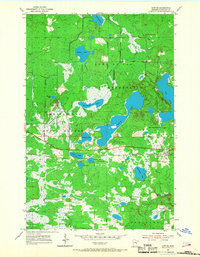
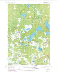
The settlement of Sawyer serves as the focal point of this mid-century survey, situated at a junction of the Northern Pacific railroad and local highways. The landscape is defined by the overlapping boundaries of the Fond Du Lac Indian Reservation and the Fond Du Lac State Forest, where a complex network of glacial lakes and wetlands dominates the terrain. Notable water bodies include the centrally located Perch Lake, the large expanse of Big Lake on the eastern edge, and smaller features such as Jaskari Lake, Rice Portage Lake, and Torchlight Lake.
Find a feature on this map
25 named features on this map. Tap any name to fly to it.
Don’t see what you’re looking for? This feature index may not catch every label — zoom into the map to look around manually.
Map Details
Editions of this 1954 Sawyer Map
3 editions found
Other maps of this area

1953 · Brookston
USGS Topo · 1:24,000

1953 · Duluth
USGS Topo · 1:250,000

1954 · Atkinson
USGS Topo · 1:24,000

1954 · Iverson
USGS Topo · 1:24,000

1954 · Martin Lake
USGS Topo · 1:24,000

1956 · Barnum
USGS Topo · 1:62,500

1958 · Duluth
USGS Topo · 1:250,000

1961 · Cromwell
USGS Topo · 1:62,500

1963 · Gowan
USGS Topo · 1:24,000

1980 · Duluth
USGS Topo · 1:100,000