Old Maps of Cass Lake, Minnesota for Metal Detecting
Plan your next treasure hunt with 18 historic maps of Cass Lake. Find old homesites, ghost towns, trails, and gathering spots that may be lost to time — perfect for identifying promising metal detecting locations.
- Locate forgotten sites: Uncover places like long-lost settlements, abandoned rail lines, or gathering spots.
- Plan better hunts: Use map overlays combined with LiDAR or satellite views to narrow in on historically rich areas.
- Made for detectorists: Thousands of hobbyists use these maps to discover relics, coins, and hidden history.
Use these historic maps to boost your research and find new opportunities beneath the surface of Cass Lake.
Cass Lake, MN maps
(18)- 1954 Map of Bemidji, 1966 Print
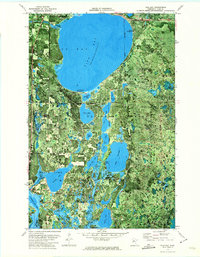
 1954 Bemidji1966 Print · USGSNorthern Minnesota's lake country and timberlands are captured here at a mid-century peak of rail and road expansion. Genealogists and historians can trace family roots through numerous small settlements like Mahnomen, Clearbrook, and Walker, while locating local landmarks such as White Earth Church.4 unique versions available
 - 1957 Map of Bemidji
 1957 Bemidji1957 Print · USGSNorthern Minnesota in the mid-fifties is defined by its massive lake systems and the sprawling timberlands of the Chippewa National Forest. Genealogists and researchers can trace old rail lines like the Great Northern RR and locate settlements such as Moberg, Naytahwaush, and Lake Itasca.
 - 1958 Map of Bemidji
 1958 Bemidji1958 Print · USGSNorthern Minnesota in the late fifties is a vast landscape of tribal lands and timber forests tied together by rail. Genealogists and researchers can trace old rail stops and lakeside communities from Walker to Fosston, or explore the source of the Mississippi at Lake Itasca.
 - 1972 Map of Pike Bay, 1974 Print
 1972 Pike Bay1974 Print · USGSThe Leech Lake Indian Reservation in the early 1970s reveals a landscape of dense timber and quiet glacial lakes. Researchers can trace the dual rail lines of the Soo Line and Burlington Northern or locate local landmarks like Thompson Cem and Cass Lake Ch.
 - 1972 Map of Cass Lake, 1974 Print
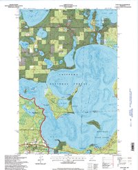
 1972 Cass Lake1974 Print · USGSThe northern woods and waters of the Leech Lake Indian Reservation are captured in the early 1970s. Trace the Burlington Northern Line through the town of CASS LAKE or locate family sites near Pine Grove Cem and SUGAR BUSH LAKE.
 - 1977 Map of Cass Lake, 1978 Print
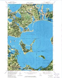
 1977 Cass Lake1978 Print · USGSThe northern Minnesota lake country is shown in the late seventies, dominated by the massive waters of Leech Lake and the headwaters of the Mississippi. Genealogists and local historians can trace lakeside settlements like Walker and Onigum, or locate the State College in Bemidji.
 - 1996 Map of Pike Bay, 1998 Print
 1996 Pike Bay1998 Print · USGSThe shorelines of Pike Bay and Cass Lake are shown during the mid-nineties as the region balanced timber management with growing recreational use. Researchers can locate the Thompson Cemetery, trace the Soo Line tracks, and find secluded landmarks like Thirteen Lake.
 - 1996 Map of Cass Lake, 1998 Print
 1996 Cass Lake1998 Print · USGSThe Leech Lake Reservation area in the mid-1990s shows a landscape deeply integrated with the Chippewa National Forest. Researchers can trace the Soo Line rail corridor, locate the Pine Grove Cemetery, and explore the unique geography of Star Island.
 - 2011 Map of Cass Lake, 2011 Print
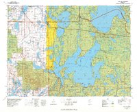
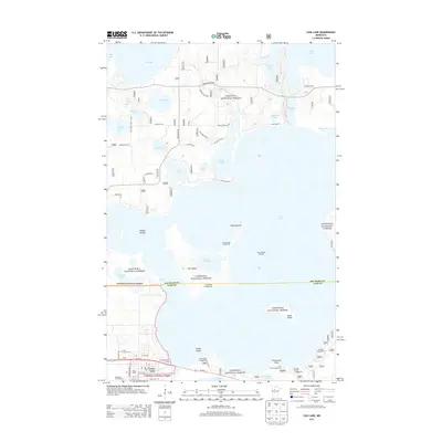
 2011 Cass Lake2011 Print · USGSCovers Cass Lake, including Beltrami County, Cass County, and other nearby areas
 - 2011 Map of Pike Bay, 2011 Print
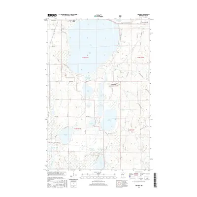
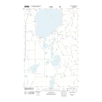 2011 Pike Bay2011 Print · USGSCovers Cass Lake, including Cass County, United States, and other nearby areas
 - 2013 Map of Pike Bay, 2013 Print
 2013 Pike Bay2013 Print · USGSCovers Cass Lake, including Cass County, United States, and other nearby areas
 - 2013 Map of Cass Lake, 2013 Print
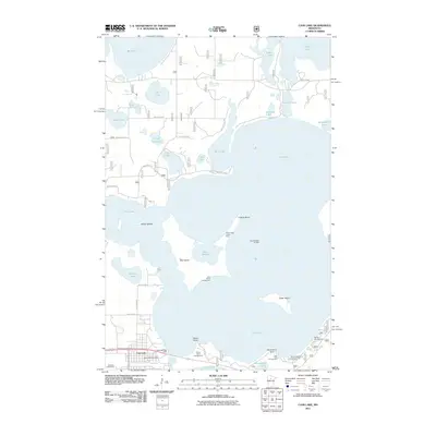
 2013 Cass Lake2013 Print · USGSCovers Cass Lake, including Beltrami County, Cass County, and other nearby areas
 - 2016 Map of Pike Bay, 2016 Print
 2016 Pike Bay2016 Print · USGSCovers Cass Lake, including Cass County, United States, and other nearby areas
 - 2016 Map of Cass Lake, 2016 Print
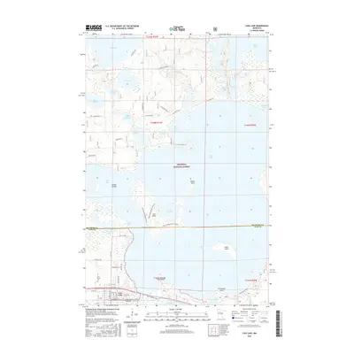 2016 Cass Lake2016 Print · USGSCovers Cass Lake, including Beltrami County, Cass County, and other nearby areas
 - 2019 Map of Cass Lake, 2019 Print
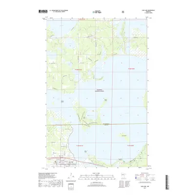 2019 Cass Lake2019 Print · USGSCovers Cass Lake, including Beltrami County, Cass County, and other nearby areas
 - 2019 Map of Pike Bay, 2019 Print
 2019 Pike Bay2019 Print · USGSCovers Cass Lake, including Cass County, United States, and other nearby areas
 - 2022 Map of Pike Bay, 2022 Print
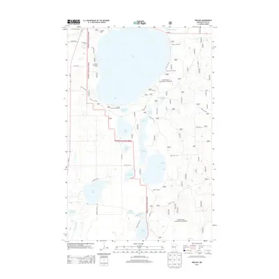
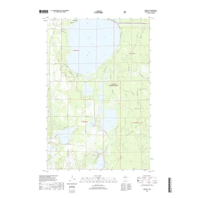
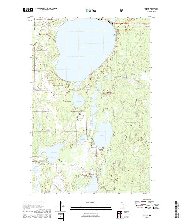 2022 Pike Bay2022 Print · USGSThe southern shores of Cass Lake and the dense timber of Chippewa National Forest define this Cass County landscape. Researchers can trace historical routes along the Soo Line Atv Trl or locate family sites at Thompson Cem and Swede Hill.
 - 2022 Map of Cass Lake, 2022 Print
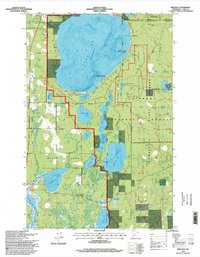
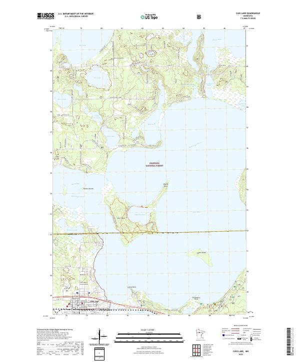 2022 Cass Lake2022 Print · USGSThe interconnected waters of the upper Mississippi dominate this Minnesota landscape in the early twenty-first century. Genealogists and hikers can trace the streets of Cass Lake, visit Pine Grove Cem, or explore the unique interior of Star Island.
End of results
Showing maps 1-18 of 18
Top cities near Cass Lake
Frequently asked questions
- What are the different types of historical maps available for Cass Lake?
- What is the oldest map of Cass Lake?
- Where can I purchase historical maps of Cass Lake for my home or office?
- Where can I download high-res historical maps of Cass Lake?
- Are there historical topographic maps available for Cass Lake?
- Is there historical aerial imagery available for Cass Lake?
- Where are historical maps of Cass Lake sourced from?