Old Maps of Windom, Minnesota for Academic Research
Study the evolution of Windom with 27 high-resolution historic maps. Whether you're teaching, researching, or modeling changes in land use, these maps provide essential visual documentation of urban, environmental, and geographic change.
- Analyze long-term change: Track patterns in development, transportation, and natural features.
- Ideal for environmental or urban studies: Support academic projects with primary historical map data.
- Use in the classroom or lab: Educators and researchers rely on these maps to bring historical context to life.
These maps are a powerful tool for teaching, research, and visualizing how Windom has changed over the decades.
Windom, MN maps
(27)- 1954 Map of Fairmont, 1967 Print
 1954 Fairmont1967 Print · USGSThe prairie landscape of southern Minnesota and northern Iowa comes alive in this mid-century survey of the Coteau des Prairies. Genealogists and historians can trace the rail-connected growth of Fairmont and Blue Earth or locate family roots near St Kilian Ch and Union Slough National Wildlife Refuge.3 unique versions available
 - 1958 Map of Fairmont
 1958 Fairmont1958 Print · USGSThe borderlands of southern Minnesota and northern Iowa come alive in the mid-1950s, showing a landscape defined by glacial lakes and rail-line commerce. Researchers can trace historic landmarks like Lakeside Laboratory, Gridley Station, and the Bancroft Wildlife Refuge across the prairie.
 - 1970 Map of Bingham Lake, 1972 Print
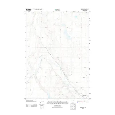
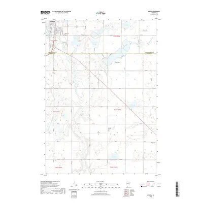
 1970 Bingham Lake1972 Print · USGSBingham Lake and the surrounding Cottonwood County prairie are shown here in the early 1970s, as the region's rail-and-lake economy thrived. Researchers can locate several family burial sites like Voth Cem or trace the Chicago and North Western line through Delft.
 - 1970 Map of Harder Lake, 1972 Print
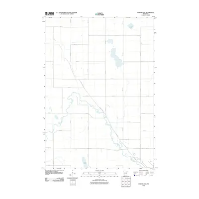
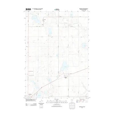
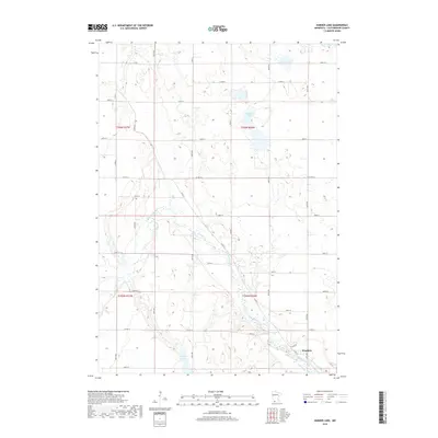
 1970 Harder Lake1972 Print · USGSCottonwood County's agricultural and river landscape is preserved here during the early 1970s. Researchers can trace rural life through landmarks like the Greenhill Chapel, the Townhall, and the glacial waters of Harder Lake.
 - 1970 Map of Wilder, 1972 Print
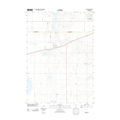
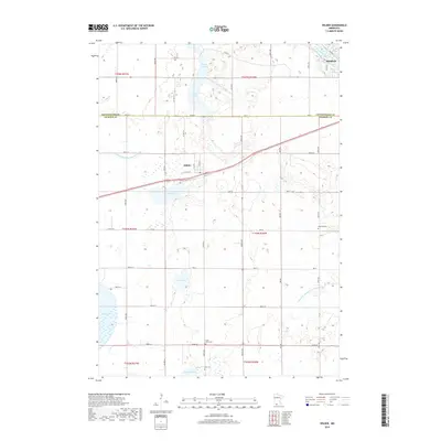
 1970 Wilder1972 Print · USGSSouthern Minnesota's agricultural prairie and rail-connected towns are captured here in the early 1970s. Researchers can trace the path of the Chicago and North Western railroad or locate rural landmarks like St Peter Ch and Delafield Cem.
 - 1970 Map of Windom, 1972 Print
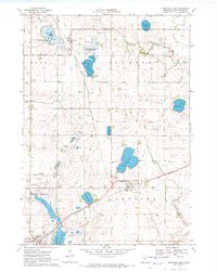
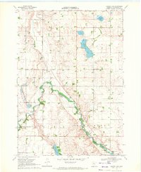
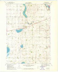
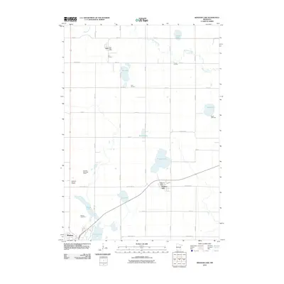
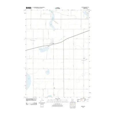
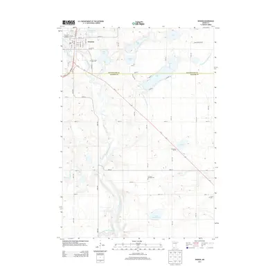
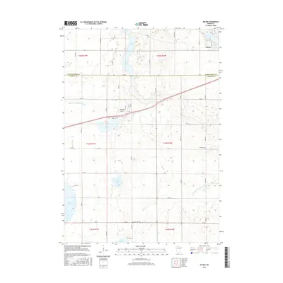
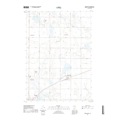
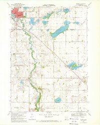 1970 Windom1972 Print · USGSWindom and the surrounding Cottonwood and Jackson County prairies are shown in the early seventies as a thriving rail and river hub. Local historians can trace school sites like Winfair Sch, the grounds of Lakeview Cemetery, and the path of the Chicago and North Western line.
 - 1985 Map of Worthington
 1985 Worthington1985 Print · USGSSouthwestern Minnesota and northwestern Iowa are captured in the mid-1980s, showcasing the high-water mark of the region's agricultural and rail-line infrastructure. Researchers can trace the path of the Chicago and North Western through prairie towns like Adrian, Wilmont, and Lakefield.2 unique versions available
 - 2010 Map of Bingham Lake, 2010 Print
 2010 Bingham Lake2010 Print · USGSCovers Windom, including Bingham Lake, Delft, and other nearby areas
 - 2010 Map of Harder Lake, 2010 Print
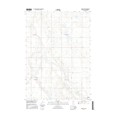
 2010 Harder Lake2010 Print · USGSCovers Windom, including Cottonwood County, United States, and other nearby areas
 - 2010 Map of Windom, 2010 Print
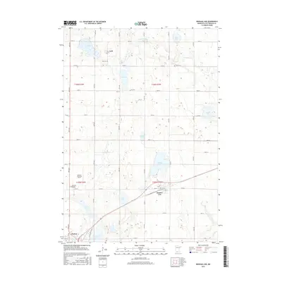
 2010 Windom2010 Print · USGSCovers Windom, including Jackson County, Cottonwood County, and other nearby areas
 - 2010 Map of Wilder, 2010 Print
 2010 Wilder2010 Print · USGSCovers Windom, including Wilder, Jackson County, and other nearby areas
 - 2013 Map of Wilder, 2013 Print
 2013 Wilder2013 Print · USGSCovers Windom, including Wilder, Jackson County, and other nearby areas
 - 2013 Map of Harder Lake, 2013 Print
 2013 Harder Lake2013 Print · USGSCovers Windom, including Cottonwood County, United States, and other nearby areas
 - 2013 Map of Bingham Lake, 2013 Print
 2013 Bingham Lake2013 Print · USGSCovers Windom, including Bingham Lake, Delft, and other nearby areas
 - 2013 Map of Windom, 2013 Print
 2013 Windom2013 Print · USGSCovers Windom, including Jackson County, Cottonwood County, and other nearby areas
 - 2016 Map of Wilder, 2016 Print
 2016 Wilder2016 Print · USGSCovers Windom, including Wilder, Jackson County, and other nearby areas
 - 2016 Map of Bingham Lake, 2016 Print
 2016 Bingham Lake2016 Print · USGSCovers Windom, including Bingham Lake, Delft, and other nearby areas
 - 2016 Map of Harder Lake, 2016 Print
 2016 Harder Lake2016 Print · USGSCovers Windom, including Cottonwood County, United States, and other nearby areas
 - 2016 Map of Windom, 2016 Print
 2016 Windom2016 Print · USGSCovers Windom, including Jackson County, Cottonwood County, and other nearby areas
 - 2019 Map of Bingham Lake, 2019 Print
 2019 Bingham Lake2019 Print · USGSCovers Windom, including Bingham Lake, Delft, and other nearby areas
 - 2019 Map of Wilder, 2019 Print
 2019 Wilder2019 Print · USGSCovers Windom, including Wilder, Jackson County, and other nearby areas
 - 2019 Map of Windom, 2019 Print
 2019 Windom2019 Print · USGSCovers Windom, including Jackson County, Cottonwood County, and other nearby areas
 - 2019 Map of Harder Lake, 2019 Print
 2019 Harder Lake2019 Print · USGSCovers Windom, including Cottonwood County, United States, and other nearby areas
 - 2022 Map of Windom, 2022 Print
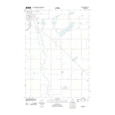
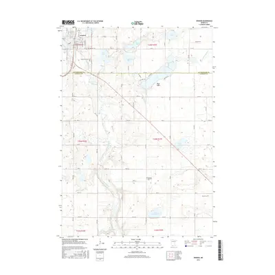
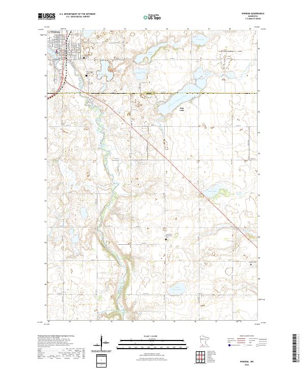 2022 Windom2022 Print · USGSWindom and the surrounding prairie are captured here in the early twenty-first century as the Des Moines River cuts through the Minnesota landscape. Genealogists and local historians can trace family roots at Lakeview Cem or Saint Francis Xavier Cem and locate landmarks like the Cottonwood County Courthouse.
 - 2022 Map of Harder Lake, 2022 Print
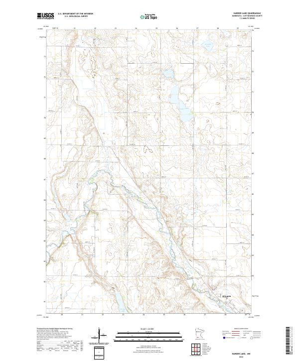 2022 Harder Lake2022 Print · USGSCottonwood County's agricultural heartland is documented here in the early twenty-first century, centered on the river valleys north of Windom. Researchers can trace the path of the Des Moines River and locate family lands near Harder Lake or along Kalash Rd.
Showing maps 1-25 of 27
Top cities near Windom
- Jackson historical maps
- Mountain Lake historical maps
- Lakefield historical maps
- Heron Lake historical maps
- Jeffers historical maps
- Storden historical maps
See more
Frequently asked questions
- What are the different types of historical maps available for Windom?
- What is the oldest map of Windom?
- Where can I purchase historical maps of Windom for my home or office?
- Where can I download high-res historical maps of Windom?
- Are there historical topographic maps available for Windom?
- Is there historical aerial imagery available for Windom?
- Where are historical maps of Windom sourced from?