2000s (21st Century) Maps of Trommald, Minnesota
Explore 20 historic maps of Trommald from the 2000s (21st Century). These maps offer a rare glimpse into what life looked like during the 2000s — showing old roads, neighborhoods, homes, and landmarks that have changed or disappeared over time.
Whether you're researching your family's past, planning a metal detecting trip, or studying how Trommald's landscape evolved across the 2000s, these high-resolution maps are a powerful tool for exploring the history of this region.
- Focus on a specific era: All maps on this page are from the 2000s, giving you a focused view of this time period.
- See what’s changed: Compare century-old streets, trails, and buildings to today's modern landscape using overlays and satellite layers.
- Research with precision: Use these maps for genealogy, historical research, land use analysis, or educational projects.
- View, download, or print: Maps are fully viewable online in high resolution, and can be downloaded or printed for your own records.
Start exploring Trommald's history through authentic maps from the 2000s. This is your window into the past.
Trommald, MN maps
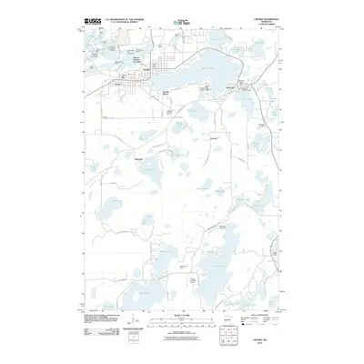
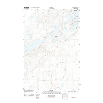
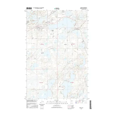
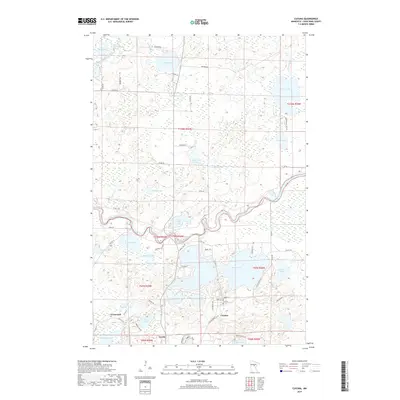
(20)- 2010 Map of Cuyuna, 2010 Print
 2010 Cuyuna2010 Print · USGSCovers Trommald, including Crosby, Wolford, and other nearby areas
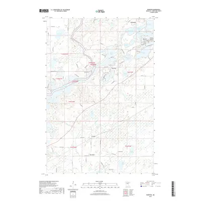
 - 2010 Map of Crosby, 2010 Print
 2010 Crosby2010 Print · USGSCovers Trommald, including Crosby, Deerwood, and other nearby areas
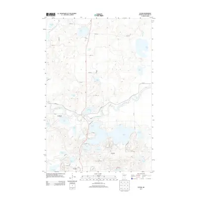
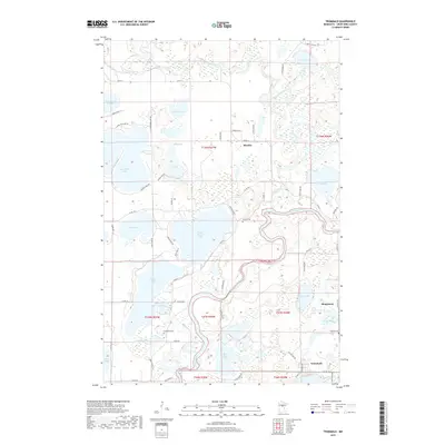
 - 2010 Map of Riverton, 2010 Print
 2010 Riverton2010 Print · USGSCovers Trommald, including Ironton, Riverton, and other nearby areas
 - 2010 Map of Trommald, 2010 Print
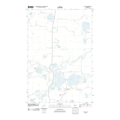
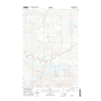
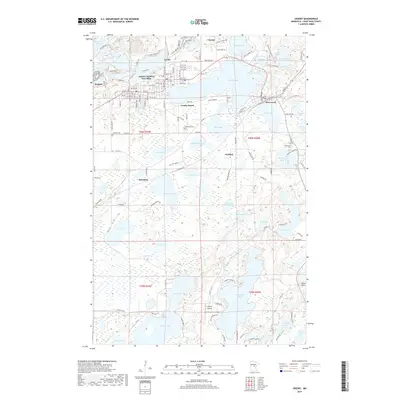
 2010 Trommald2010 Print · USGSCovers Trommald, including Mission, Manganese, and other nearby areas
 - 2013 Map of Trommald, 2013 Print
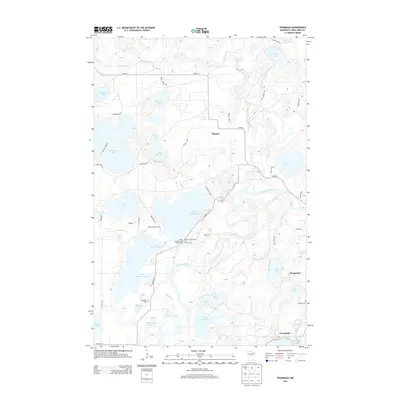 2013 Trommald2013 Print · USGSCovers Trommald, including Mission, Manganese, and other nearby areas
 - 2013 Map of Riverton, 2013 Print
 2013 Riverton2013 Print · USGSCovers Trommald, including Ironton, Riverton, and other nearby areas
 - 2013 Map of Cuyuna, 2013 Print
 2013 Cuyuna2013 Print · USGSCovers Trommald, including Crosby, Wolford, and other nearby areas
 - 2013 Map of Crosby, 2013 Print
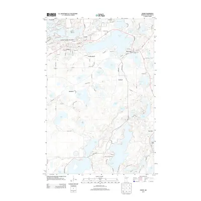 2013 Crosby2013 Print · USGSCovers Trommald, including Crosby, Deerwood, and other nearby areas
 - 2016 Map of Cuyuna, 2016 Print
 2016 Cuyuna2016 Print · USGSCovers Trommald, including Crosby, Wolford, and other nearby areas
 - 2016 Map of Crosby, 2016 Print
 2016 Crosby2016 Print · USGSCovers Trommald, including Crosby, Deerwood, and other nearby areas
 - 2016 Map of Trommald, 2016 Print
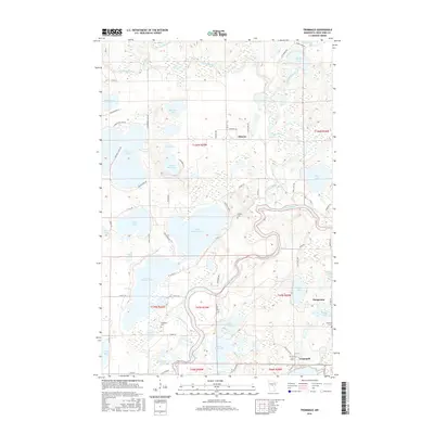 2016 Trommald2016 Print · USGSCovers Trommald, including Mission, Manganese, and other nearby areas
 - 2016 Map of Riverton, 2016 Print
 2016 Riverton2016 Print · USGSCovers Trommald, including Ironton, Riverton, and other nearby areas
 - 2019 Map of Crosby, 2019 Print
 2019 Crosby2019 Print · USGSCovers Trommald, including Crosby, Deerwood, and other nearby areas
 - 2019 Map of Cuyuna, 2019 Print
 2019 Cuyuna2019 Print · USGSCovers Trommald, including Crosby, Wolford, and other nearby areas
 - 2019 Map of Trommald, 2019 Print
 2019 Trommald2019 Print · USGSCovers Trommald, including Mission, Manganese, and other nearby areas
 - 2019 Map of Riverton, 2019 Print
 2019 Riverton2019 Print · USGSCovers Trommald, including Ironton, Riverton, and other nearby areas
 - 2022 Map of Crosby, 2022 Print
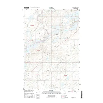
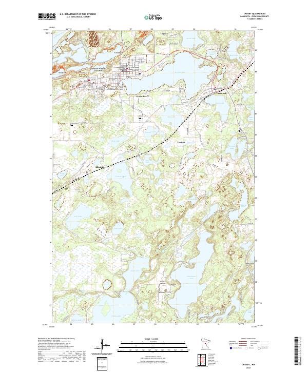 2022 Crosby2022 Print · USGSThe Cuyuna Range lake country is documented here in the early 2020s, showing the intersection of industrial history and modern recreation. Trace the mining heritage of the Armour Number Two Mine and find local landmarks like Lindey's Landing or Lakewood Cem.
 - 2022 Map of Riverton, 2022 Print
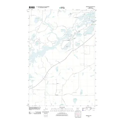
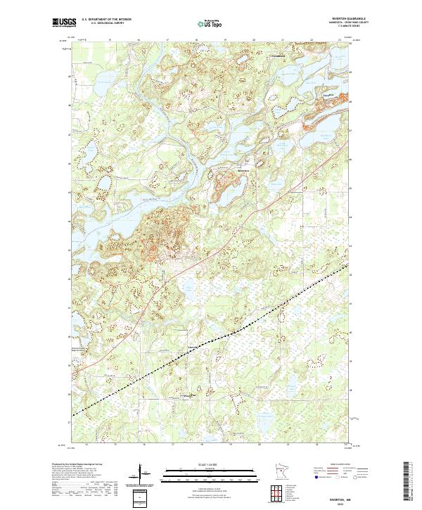 2022 Riverton2022 Print · USGSIron mining history and glacial lakes converge here in the early twenty-first century near the Mississippi River. Genealogists and researchers can trace the roads of Riverton, Ironton, and Trommald or locate the sprawling Mountain Pits and Little Rabbit Lake.
 - 2022 Map of Cuyuna, 2022 Print
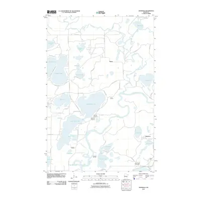
 2022 Cuyuna2022 Print · USGSCuyuna and the northern Iron Range are shown here in the 2020s, highlighting a landscape transformed by iron mining and glacial waters. Researchers can trace the town layouts of Cuyuna and Trommald or locate remote water bodies like Rice Bed Lake and Indian Jack Lake.
 - 2022 Map of Trommald, 2022 Print
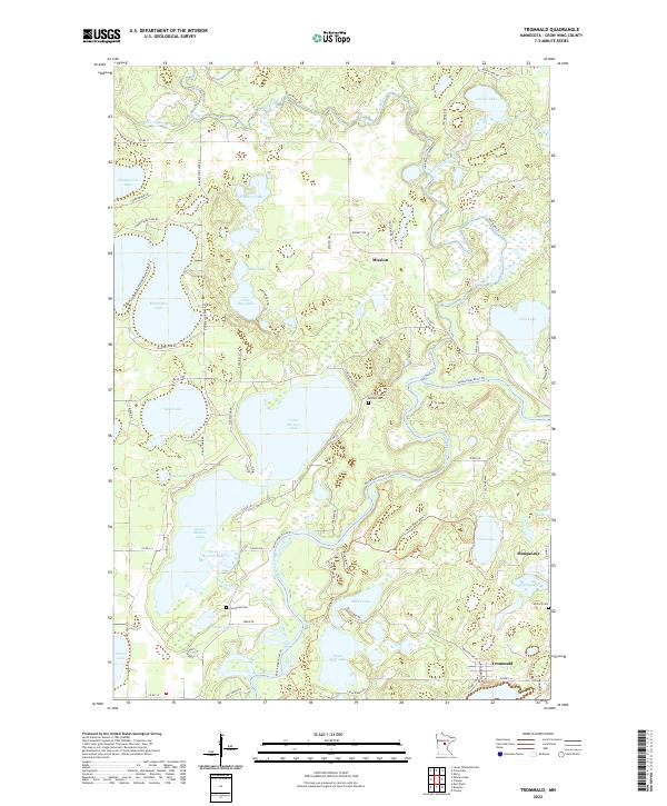 2022 Trommald2022 Print · USGSCrow Wing County is revealed in the early twenty-first century as a landscape defined by its interconnected waters and lakeside communities. Trace family roots and local growth through named sites like Mission, Manganese, and the Evergreen Cem.
End of results
Showing maps 1-20 of 20
Top cities near Trommald
- Brainerd historical maps
- Baxter historical maps
- Crosby historical maps
- Breezy Point historical maps
- Emily historical maps
- Bay Lake historical maps
See more
Frequently asked questions
- What are the different types of historical maps available for Trommald?
- What is the oldest map of Trommald?
- Where can I purchase historical maps of Trommald for my home or office?
- Where can I download high-res historical maps of Trommald?
- Are there historical topographic maps available for Trommald?
- Is there historical aerial imagery available for Trommald?
- Where are historical maps of Trommald sourced from?