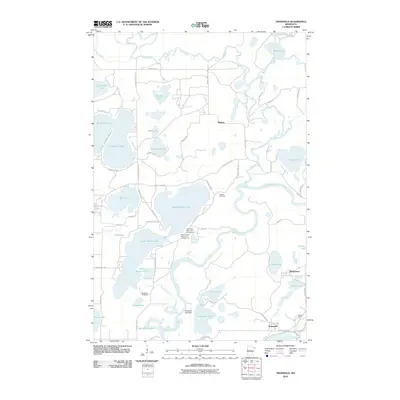
2010 Map of Trommald
USGS Topo · Published 2010About this map
The Mississippi River and Pine River converge within this lake-heavy portion of Crow Wing County, defining a landscape shaped by water and early 20th-century industry. The settlement of Trommald stands in the southeast corner near the Musser Mine, reflecting the region's iron-mining history on the Cuyuna Range. Nearby, the smaller community of Manganese sits east of Coles Lake, while the township center of Mission occupies the central northern plains.
Find a feature on this map
61 named features on this map. Tap any name to fly to it.
Don’t see what you’re looking for? This feature index may not catch every label — zoom into the map to look around manually.
Map Details
Editions of this 2010 Trommald Map
This is the sole edition of this map. No revisions or reprints were ever made.
Other maps of this area
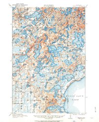
1912 · Deerwood
USGS Topo · 1:62,500
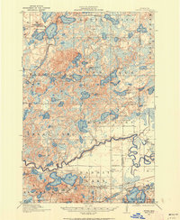
1913 · Cuyuna
USGS Topo · 1:62,500
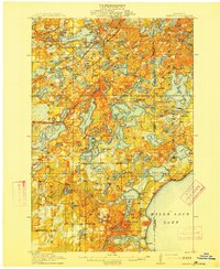
1914 · Deerwood
USGS Topo · 1:62,500
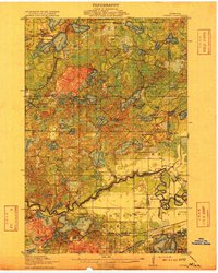
1915 · Cuyuna
USGS Topo · 1:62,500
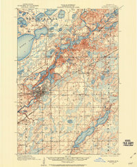
1915 · Brainerd
USGS Topo · 1:62,500
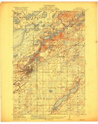
1918 · Brainerd
USGS Topo · 1:62,500

1953 · Duluth
USGS Topo · 1:250,000

1953 · Brainerd
USGS Topo · 1:250,000

1957 · Brainerd
USGS Topo · 1:250,000
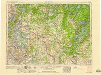
1958 · Brainerd
USGS Topo · 1:250,000