Old Maps of Douglas Township, Minnesota for Academic Research
Study the evolution of Douglas Township with 29 high-resolution historic maps. Whether you're teaching, researching, or modeling changes in land use, these maps provide essential visual documentation of urban, environmental, and geographic change.
- Analyze long-term change: Track patterns in development, transportation, and natural features.
- Ideal for environmental or urban studies: Support academic projects with primary historical map data.
- Use in the classroom or lab: Educators and researchers rely on these maps to bring historical context to life.
These maps are a powerful tool for teaching, research, and visualizing how Douglas Township has changed over the decades.
Douglas Township, MN maps
(29)- 1953 Map of Saint Paul, 1964 Print
 1953 Saint Paul1964 Print · USGSThe Twin Cities and the Mississippi River valley are captured here at a mid-century turning point. Trace the early growth of Minneapolis and Saint Paul alongside landmarks like Lake Minnetonka and the St Croix River.4 unique versions available
 - 1957 Map of Hastings, 1959 Print
 1957 Hastings1959 Print · USGSDakota County and the Mississippi riverfront appear in the late fifties as a hub of rail transit and agricultural industry. Genealogists and researchers can locate landmarks like St Lukes Cem, the Mineral Springs Sanatorium, and the tracks of the Chicago Great Western.2 unique versions available
 - 1959 Map of Saint Paul
 1959 Saint Paul1959 Print · USGSThe Twin Cities and southeastern Minnesota appear here in the late fifties, showing the peak of the rail era and post-war suburban growth. Genealogists can trace family footprints near Lake Minnetonka, the Univ Of Minn Rosemount Research Center, or the growing neighborhoods of Richfield.2 unique versions available
 - 1974 Map of Cannon Falls, 1978 Print
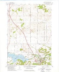 1974 Cannon Falls1978 Print · USGSThe confluence of the Cannon River and Spring Creek defines this area during the mid-seventies, showing the growth of Cannon Falls. Trace the historic Chicago and North Western rail line past Zion Cem and the small settlement of New Trier.
 - 1974 Map of Miesville, 1978 Print
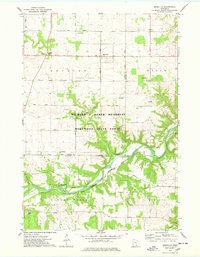 1974 Miesville1978 Print · USGSSoutheast of St. Paul in the 1970s, the Cannon River valley reveals a transition from upland farming to deep river bluffs. Genealogists and historians can trace family locations near the Mineral Springs Sanatorium, Cannon River Cemetery, and the village of Miesville.
 - 1974 Map of Vermillion, 1978 Print
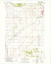 1974 Vermillion1978 Print · USGSDakota County transitioned from deep-rooted agriculture to suburban and industrial growth during the mid-seventies. Researchers can trace the Old Railroad Grade, locate family plots at Oakwood Cem, and map the early footprint of Imperial Estates Park.2 unique versions available
 - 1974 Map of Hastings, 1978 Print
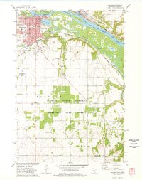 1974 Hastings1978 Print · USGSThe riverfront communities of Hastings and Prescott are shown in detail during the mid-seventies as they grew along the Mississippi and Vermillion rivers. Genealogists and local researchers can locate numerous historic sites, from the State Hospital Cem and St Boniface Ch to the OLD RAILROAD GRADE and local town halls.2 unique versions available
 - 1985 Map of Hastings
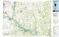 1985 Hastings1985 Print · USGSThe river valleys of the St. Croix and Mississippi dominate this mid-eighties landscape as they border Minnesota and Wisconsin. You can trace the boundaries of the Prairie Island Indian Res, find the old rail alignments of the SOO LINE, and locate remote bluffs like Rattlesnake Point.
 - 1990 Map of Hastings, 1991 Print
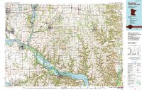 1990 Hastings1991 Print · USGSThe river confluence at Hastings and Prescott is captured here in the final decade of the twentieth century, showing a landscape defined by the Mississippi River and St Croix River. Genealogists and historians can trace rail corridors like the Soo RR and find smaller settlements such as Miesville, Wacouta, and Diamond Bluff.
 - 2010 Map of Miesville, 2010 Print
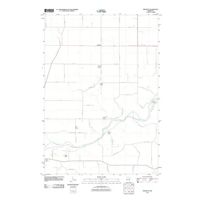 2010 Miesville2010 Print · USGSThe rural landscape around Miesville is captured here at the start of the decade, showing a quiet mix of prairie agriculture and river recreation. Genealogists can trace family roots at Saint Joseph Catholic Cemetery or explore landmarks like Stewart Farms Airport.
 - 2010 Map of Cannon Falls, 2010 Print
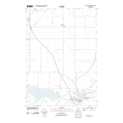 2010 Cannon Falls2010 Print · USGSGoodhue County agriculture and river life are captured here in the early twenty-first century as the Cannon River flows through the heart of the region. Researchers can locate family plots at Lakeside Cemetery or trace the development of settlements like New Trier and Hampton.
 - 2010 Map of Vermillion, 2010 Print
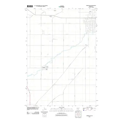 2010 Vermillion2010 Print · USGSDakota County agriculture and the winding Vermillion River define this area in the early twenty-first century. Genealogists can locate several burial grounds including Saint John's Catholic Cemetery and the Lyon Cemetery.
 - 2010 Map of Hastings, 2010 Print
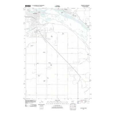 2010 Hastings2010 Print · USGSThe riverfront communities of Hastings and Prescott meet at the Mississippi confluence in this early 2010s survey. Researchers can trace numerous local burial sites including Saint Boniface and the Irish Catholic Cemetery.
 - 2013 Map of Miesville, 2013 Print
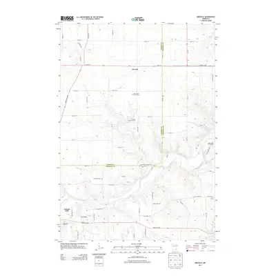 2013 Miesville2013 Print · USGSDakota and Goodhue Counties are captured in this modern survey during a period of quiet rural stability. Genealogists and local historians can trace family plots at Saint Joseph Catholic Cem and follow the path of the Cannon River through Clark Valley.
 - 2013 Map of Vermillion, 2013 Print
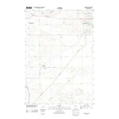 2013 Vermillion2013 Print · USGSDakota County south of the Twin Cities is captured here in the early twenty-first century as suburban growth meets rural farmland. Genealogists can locate family landmarks such as Saint John's Catholic Cem, Lyon Cem, and the village of Vermillion.
 - 2013 Map of Hastings, 2013 Print
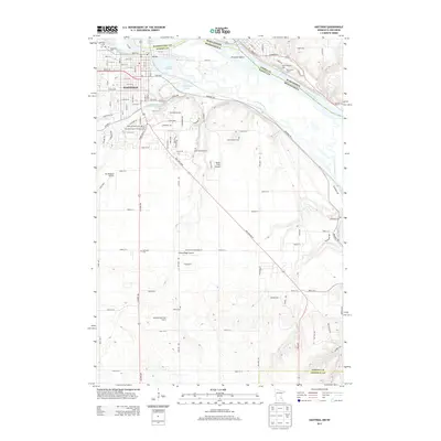 2013 Hastings2013 Print · USGSHastings and the Mississippi River bottoms are captured here in the early twenty-first century, showing the town's expansion and its river-valley geography. Genealogists can locate numerous local burial sites including Irish Catholic Cem, Saint Josephs Cem, and State Hospital Cem.
 - 2013 Map of Cannon Falls, 2013 Print
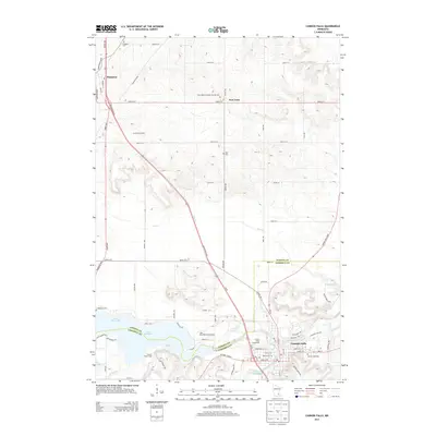 2013 Cannon Falls2013 Print · USGSCannon Falls and the surrounding river valley are shown here in the early twenty-first century, just as the area's rural character meets growing township development. Researchers can trace local lineage through Zion Cem and Lakeside Cem or explore the shores of Lake Byllesby.
 - 2016 Map of Miesville, 2016 Print
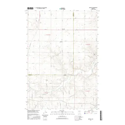 2016 Miesville2016 Print · USGSDakota and Goodhue counties appear here in the mid-2010s, centered on the rural crossroads of Miesville. Local historians can trace family roots at Saint Joseph Catholic Cem or follow the winding Cannon River through Clark Valley.
 - 2016 Map of Cannon Falls, 2016 Print
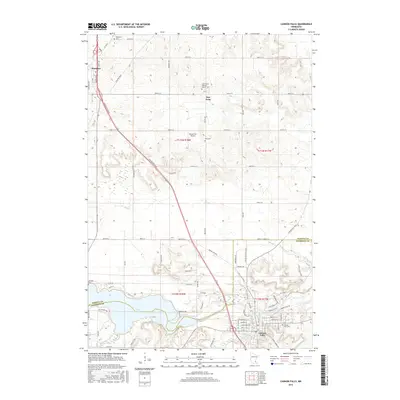 2016 Cannon Falls2016 Print · USGSCannon Falls and the surrounding prairie lands of Dakota and Goodhue counties appear here in the mid-2010s. Local researchers can trace family roots at Saint Mary's Catholic Cemetery, explore the banks of Lake Byllesby, or locate the Backstrom Airport.
 - 2016 Map of Vermillion, 2016 Print
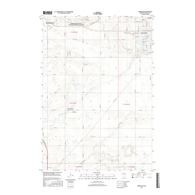 2016 Vermillion2016 Print · USGSDakota County landscapes are captured here in the mid-2010s, showcasing the rural character and growing suburban fringes south of the Twin Cities. Researchers can locate family heritage sites at Saint John's Catholic Cem or Oakwood Cem and trace the winding course of the Vermillion River.
 - 2016 Map of Hastings, 2016 Print
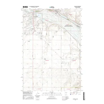 2016 Hastings2016 Print · USGSThe riverfront at Hastings and Prescott is mapped here in the mid-2010s, showing the complex junction of the Mississippi and Vermillion rivers. Genealogists can trace family history through a dozen local sites including Lakeside Cem, Marsh Cem, and Saint Josephs Cem.
 - 2019 Map of Miesville, 2019 Print
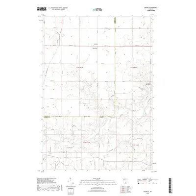 2019 Miesville2019 Print · USGSThe Dakota and Goodhue county line near the Cannon River valley is shown here in the late 2010s. Genealogists can trace family roots through Saint Joseph Catholic Cem, Cannon River Cem, and the quiet crossroads of Miesville.
 - 2019 Map of Cannon Falls, 2019 Print
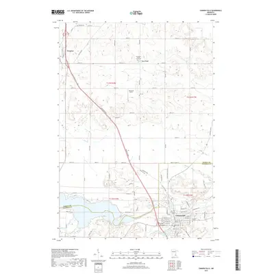 2019 Cannon Falls2019 Print · USGSCannon Falls and the rural uplands of Dakota and Goodhue Counties are captured in the late 2010s as the river-fed landscape meets expanding town centers. Genealogists can trace family landmarks and burial sites from Hampton Cem and New Trier down to the banks of Lake Byllesby.
 - 2019 Map of Vermillion, 2019 Print
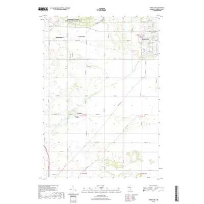 2019 Vermillion2019 Print · USGSDakota County transitions from farmsteads to suburban growth as the new millennium progresses. Genealogists and local historians can trace the bounds of Vermillion and locate several community landmarks like the Saint John The Baptist Catholic Cem and Lyon Cem.
 - 2019 Map of Hastings, 2019 Print
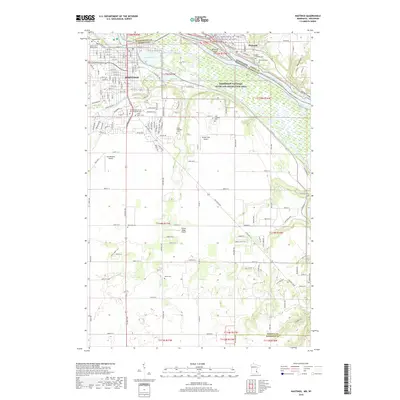 2019 Hastings2019 Print · USGSThe riverfront communities of Hastings and Prescott appear in this recent survey at the confluence of the Mississippi and St. Croix. Researchers can trace numerous local burial sites like Soldiers and Sailors Cem and specialized airfields such as Sandy Flats Airport.
Showing maps 1-25 of 29
Top cities near Douglas Township
- Inver Grove Heights historical maps
- Cottage Grove historical maps
- Hastings historical maps
- Rosemount historical maps
- Red Wing historical maps
- Prescott historical maps
See more
Frequently asked questions
- What are the different types of historical maps available for Douglas Township?
- What is the oldest map of Douglas Township?
- Where can I purchase historical maps of Douglas Township for my home or office?
- Where can I download high-res historical maps of Douglas Township?
- Are there historical topographic maps available for Douglas Township?
- Is there historical aerial imagery available for Douglas Township?
- Where are historical maps of Douglas Township sourced from?