2000s (21st Century) Maps of Empire, Minnesota
Explore 10 historic maps of Empire from the 2000s (21st Century). These maps offer a rare glimpse into what life looked like during the 2000s — showing old roads, neighborhoods, homes, and landmarks that have changed or disappeared over time.
Whether you're researching your family's past, planning a metal detecting trip, or studying how Empire's landscape evolved across the 2000s, these high-resolution maps are a powerful tool for exploring the history of this region.
- Focus on a specific era: All maps on this page are from the 2000s, giving you a focused view of this time period.
- See what’s changed: Compare century-old streets, trails, and buildings to today's modern landscape using overlays and satellite layers.
- Research with precision: Use these maps for genealogy, historical research, land use analysis, or educational projects.
- View, download, or print: Maps are fully viewable online in high resolution, and can be downloaded or printed for your own records.
Start exploring Empire's history through authentic maps from the 2000s. This is your window into the past.
Empire, MN maps
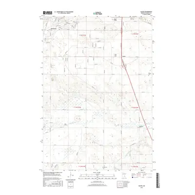
(10)- 2010 Map of Coates, 2010 Print
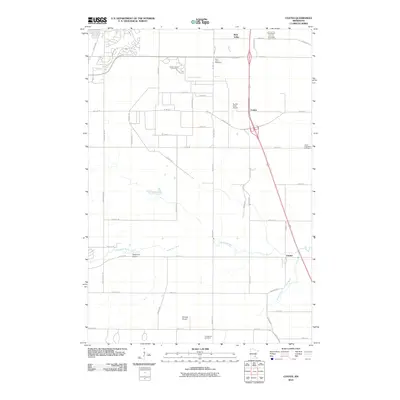 2010 Coates2010 Print · USGSCovers Empire, including Rosemount, Farmington, and other nearby areas
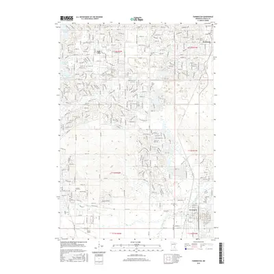
 - 2010 Map of Farmington, 2010 Print
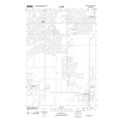 2010 Farmington2010 Print · USGSCovers Empire, including Burnsville, Lakeville, and other nearby areas
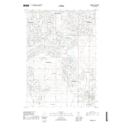
 - 2013 Map of Farmington, 2013 Print
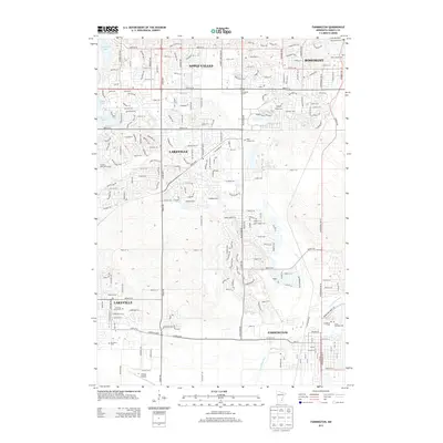 2013 Farmington2013 Print · USGSCovers Empire, including Burnsville, Lakeville, and other nearby areas
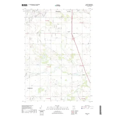
 - 2013 Map of Coates, 2013 Print
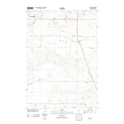 2013 Coates2013 Print · USGSCovers Empire, including Rosemount, Farmington, and other nearby areas
 - 2016 Map of Coates, 2016 Print
 2016 Coates2016 Print · USGSCovers Empire, including Rosemount, Farmington, and other nearby areas
 - 2016 Map of Farmington, 2016 Print
 2016 Farmington2016 Print · USGSCovers Empire, including Burnsville, Lakeville, and other nearby areas
 - 2019 Map of Farmington, 2019 Print
 2019 Farmington2019 Print · USGSCovers Empire, including Burnsville, Lakeville, and other nearby areas
 - 2019 Map of Coates, 2019 Print
 2019 Coates2019 Print · USGSCovers Empire, including Rosemount, Farmington, and other nearby areas
 - 2022 Map of Farmington, 2022 Print
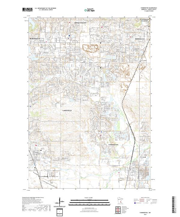 2022 Farmington2022 Print · USGSFarmington and the Dakota County plains are shown here in the early 2020s, a period of established suburban growth and preserved river corridors. Genealogists and local researchers can locate Saint Michaels Cemetery, Corinthian Cemetery, and the paths of the Union Pacific RR.
 - 2022 Map of Coates, 2022 Print
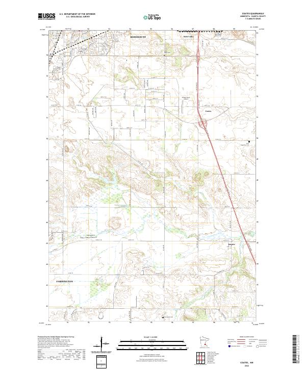 2022 Coates2022 Print · USGSDakota County in the early 2020s shows the continued growth of Rosemount and Farmington along the Vermillion River. Researchers can trace local genealogy at Saint Johns Cem or Saint Augustine Cem and locate small aviation hubs like Turkey Track Airport.
End of results
Showing maps 1-10 of 10
Top cities near Empire
- Minneapolis historical maps
- Saint Paul historical maps
- Bloomington historical maps
- Woodbury historical maps
- Eagan historical maps
- Burnsville historical maps
See more
Frequently asked questions
- What are the different types of historical maps available for Empire?
- What is the oldest map of Empire?
- Where can I purchase historical maps of Empire for my home or office?
- Where can I download high-res historical maps of Empire?
- Are there historical topographic maps available for Empire?
- Is there historical aerial imagery available for Empire?
- Where are historical maps of Empire sourced from?