2000s (21st Century) Maps of Claremont, Minnesota
Explore 10 historic maps of Claremont from the 2000s (21st Century). These maps offer a rare glimpse into what life looked like during the 2000s — showing old roads, neighborhoods, homes, and landmarks that have changed or disappeared over time.
Whether you're researching your family's past, planning a metal detecting trip, or studying how Claremont's landscape evolved across the 2000s, these high-resolution maps are a powerful tool for exploring the history of this region.
- Focus on a specific era: All maps on this page are from the 2000s, giving you a focused view of this time period.
- See what’s changed: Compare century-old streets, trails, and buildings to today's modern landscape using overlays and satellite layers.
- Research with precision: Use these maps for genealogy, historical research, land use analysis, or educational projects.
- View, download, or print: Maps are fully viewable online in high resolution, and can be downloaded or printed for your own records.
Start exploring Claremont's history through authentic maps from the 2000s. This is your window into the past.
Claremont, MN maps
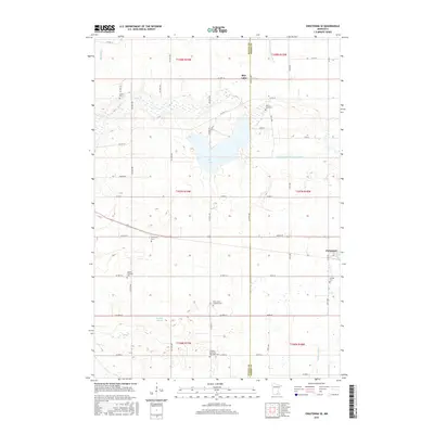
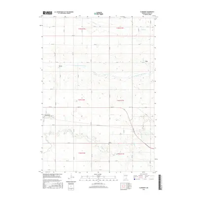
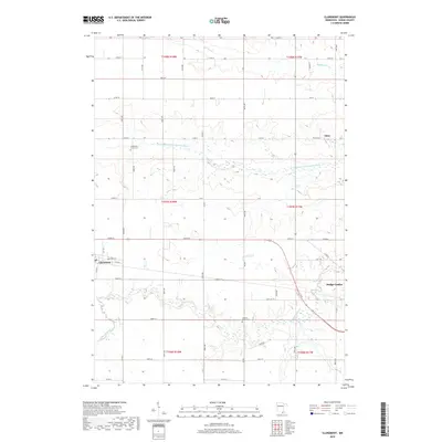
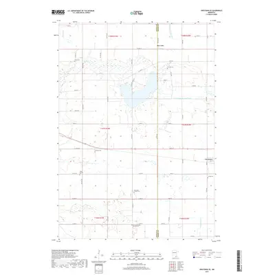
(10)- 2010 Map of Claremont, 2010 Print
 2010 Claremont2010 Print · USGSCovers Claremont, including Dodge Center, Eden, and other nearby areas
 - 2010 Map of Owatonna SE, 2010 Print
 2010 Owatonna SE2010 Print · USGSCovers Claremont, including Rice Lake, Steele County, and other nearby areas
 - 2013 Map of Owatonna SE, 2013 Print
 2013 Owatonna SE2013 Print · USGSCovers Claremont, including Rice Lake, Steele County, and other nearby areas
 - 2013 Map of Claremont, 2013 Print
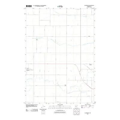
 2013 Claremont2013 Print · USGSCovers Claremont, including Dodge Center, Eden, and other nearby areas
 - 2016 Map of Owatonna SE, 2016 Print
 2016 Owatonna SE2016 Print · USGSCovers Claremont, including Rice Lake, Steele County, and other nearby areas
 - 2016 Map of Claremont, 2016 Print
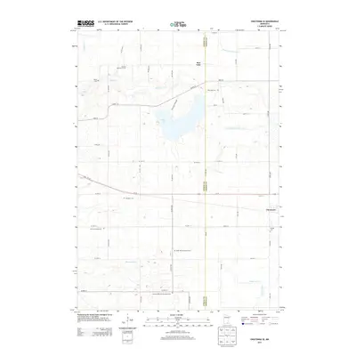
 2016 Claremont2016 Print · USGSCovers Claremont, including Dodge Center, Eden, and other nearby areas
 - 2019 Map of Claremont, 2019 Print
 2019 Claremont2019 Print · USGSCovers Claremont, including Dodge Center, Eden, and other nearby areas
 - 2019 Map of Owatonna SE, 2019 Print
 2019 Owatonna SE2019 Print · USGSCovers Claremont, including Rice Lake, Steele County, and other nearby areas
 - 2022 Map of Owatonna SE, 2022 Print
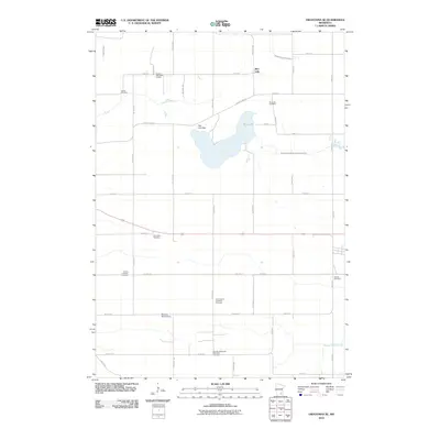
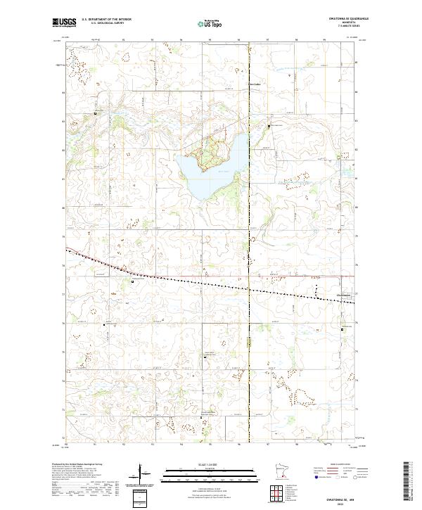 2022 Owatonna SE2022 Print · USGSSouthern Minnesota's agricultural heartland and the marshy headwaters of the Zumbro River are captured in the early 2020s. Genealogists can trace burial sites like Aurora Lutheran Cem and Thompson Cem near the town of Claremont.
 - 2022 Map of Claremont, 2022 Print
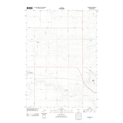
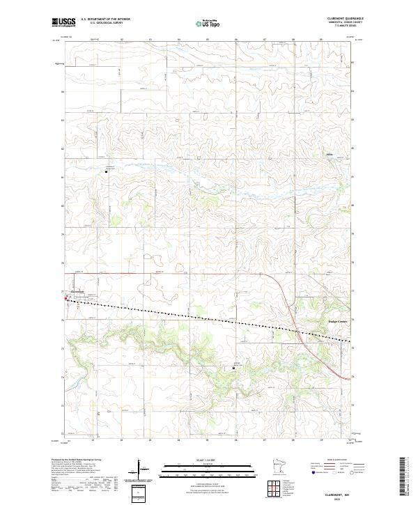 2022 Claremont2022 Print · USGSDodge County's agricultural heartland is documented here in the early twenty-first century as the prairie landscape meets the Zumbro River tributaries. Researchers can locate family landmarks like Claremont Street Cem or trace the early paths of Co Rd 3 and the hamlet of Eden.
End of results
Showing maps 1-10 of 10
Top cities near Claremont
- Owatonna historical maps
- Dodge Center historical maps
- Blooming Prairie historical maps
- Kenyon historical maps
- Hayfield historical maps
- Medford historical maps
See more
Frequently asked questions
- What are the different types of historical maps available for Claremont?
- What is the oldest map of Claremont?
- Where can I purchase historical maps of Claremont for my home or office?
- Where can I download high-res historical maps of Claremont?
- Are there historical topographic maps available for Claremont?
- Is there historical aerial imagery available for Claremont?
- Where are historical maps of Claremont sourced from?