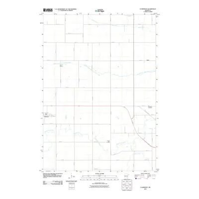
2010 Map of Claremont
USGS Topo · Published 2010About this map
Claremont serves as the primary hub of this Dodge County landscape, characterized by the winding path of Dodge Center Creek and the South Branch Middle Fork Zumbro River. The settlement pattern reflects a classic Midwestern agricultural grid, punctuated by local landmarks like the Claremont Post Office and the Jim Donaldson Pond Dam. Genealogists will find interest in the documented locations of the Claremont Street Cemetery and the Ashland-Ripley Cemetery, which anchor the history of the surrounding townships.
Find a feature on this map
37 named features on this map. Tap any name to fly to it.
Don’t see what you’re looking for? This feature index may not catch every label — zoom into the map to look around manually.
Map Details
Editions of this 2010 Claremont Map
This is the sole edition of this map. No revisions or reprints were ever made.
Other maps of this area

1953 · Saint Paul
USGS Topo · 1:250,000

1954 · Mason City
USGS Topo · 1:250,000

1957 · Mason City
USGS Topo · 1:250,000

1958 · Mason City
USGS Topo · 1:250,000

1959 · Saint Paul
USGS Topo · 1:250,000

1962 · Moland
USGS Topo · 1:24,000

1962 · Owatonna SE
USGS Topo · 1:24,000

1965 · Dodge Center
USGS Topo · 1:24,000

1965 · Concord
USGS Topo · 1:24,000

1965 · Claremont
USGS Topo · 1:24,000