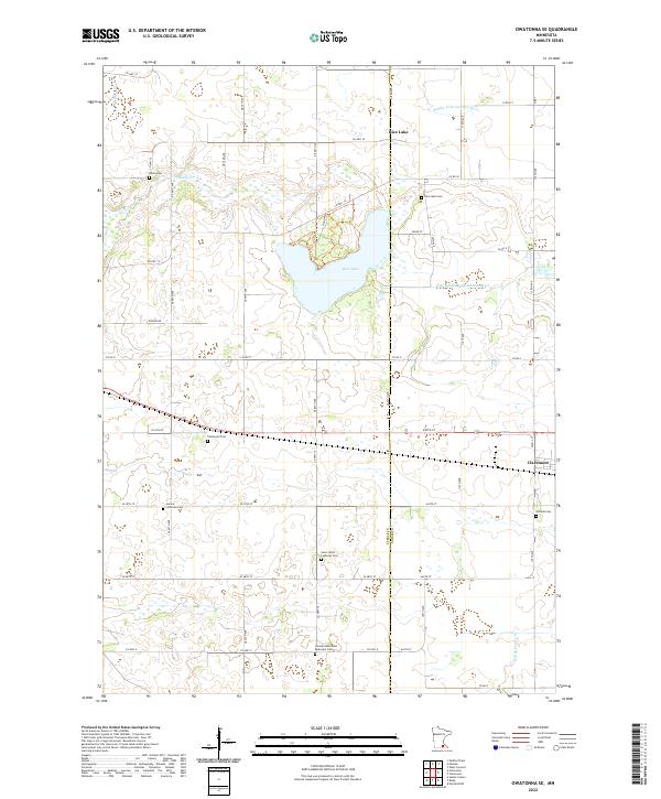
2022 Map of Owatonna SE
USGS Topo · Published 2022About this map
Rice Lake dominates the upper-central portion of this landscape, serving as a focal point for the headwaters of the Middle Fork Zumbro River. The terrain is defined by a dense network of township roads and county highways that segment the fertile agricultural lands between the settlements of Rice Lake and Claremont. The map reveals a high concentration of small, family-associated or denominational burial grounds, such as the German Methodist Episcopal Cem and Aurora Lutheran Cem, reflecting the deep-rooted immigrant heritage and rural community structure of the area.
Find a feature on this map
44 named features on this map. Tap any name to fly to it.
Don’t see what you’re looking for? This feature index may not catch every label — zoom into the map to look around manually.
Map Details
Editions of this 2022 Owatonna SE Map
This is the sole edition of this map. No revisions or reprints were ever made.
Other maps of this area

1953 · Saint Paul
USGS Topo · 1:250,000

1954 · Mason City
USGS Topo · 1:250,000

1957 · Mason City
USGS Topo · 1:250,000

1958 · Mason City
USGS Topo · 1:250,000

1959 · Saint Paul
USGS Topo · 1:250,000
1962 · Medford East
USGS Topo · 1:24,000
1962 · Owatonna
USGS Topo · 1:24,000
1962 · Moland
USGS Topo · 1:24,000
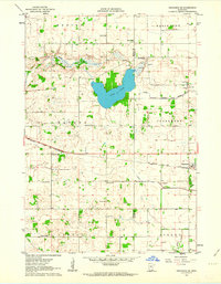
1962 · Owatonna SE
USGS Topo · 1:24,000
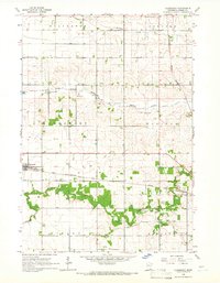
1965 · Claremont
USGS Topo · 1:24,000