2000s (21st Century) Maps of Hayward, Minnesota
Explore 10 historic maps of Hayward from the 2000s (21st Century). These maps offer a rare glimpse into what life looked like during the 2000s — showing old roads, neighborhoods, homes, and landmarks that have changed or disappeared over time.
Whether you're researching your family's past, planning a metal detecting trip, or studying how Hayward's landscape evolved across the 2000s, these high-resolution maps are a powerful tool for exploring the history of this region.
- Focus on a specific era: All maps on this page are from the 2000s, giving you a focused view of this time period.
- See what’s changed: Compare century-old streets, trails, and buildings to today's modern landscape using overlays and satellite layers.
- Research with precision: Use these maps for genealogy, historical research, land use analysis, or educational projects.
- View, download, or print: Maps are fully viewable online in high resolution, and can be downloaded or printed for your own records.
Start exploring Hayward's history through authentic maps from the 2000s. This is your window into the past.
Hayward, MN maps
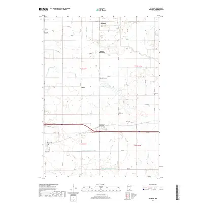
(10)- 2010 Map of Hayward, 2010 Print
 2010 Hayward2010 Print · USGSCovers Hayward, including Hollandale Junction, Muckland, and other nearby areas
 - 2010 Map of Albert Lea East, 2010 Print
 2010 Albert Lea East2010 Print · USGSCovers Hayward, including Albert Lea, Bancroft, and other nearby areas
 - 2013 Map of Hayward, 2013 Print
 2013 Hayward2013 Print · USGSCovers Hayward, including Hollandale Junction, Muckland, and other nearby areas
 - 2013 Map of Albert Lea East, 2013 Print
 2013 Albert Lea East2013 Print · USGSCovers Hayward, including Albert Lea, Bancroft, and other nearby areas
 - 2016 Map of Hayward, 2016 Print
 2016 Hayward2016 Print · USGSCovers Hayward, including Hollandale Junction, Muckland, and other nearby areas
 - 2016 Map of Albert Lea East, 2016 Print
 2016 Albert Lea East2016 Print · USGSCovers Hayward, including Albert Lea, Bancroft, and other nearby areas
 - 2019 Map of Albert Lea East, 2019 Print
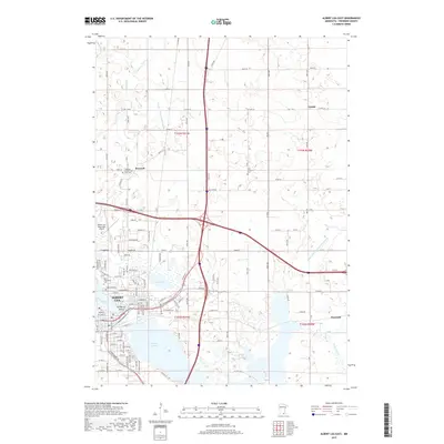 2019 Albert Lea East2019 Print · USGSCovers Hayward, including Albert Lea, Bancroft, and other nearby areas
 - 2019 Map of Hayward, 2019 Print
 2019 Hayward2019 Print · USGSCovers Hayward, including Hollandale Junction, Muckland, and other nearby areas
 - 2022 Map of Hayward, 2022 Print
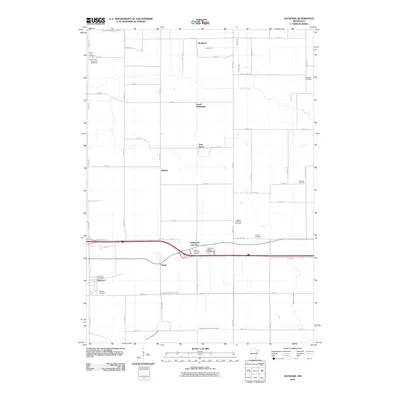
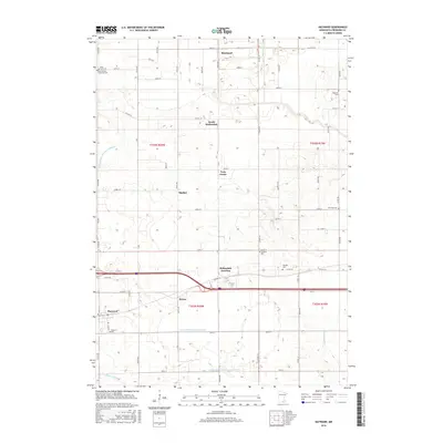
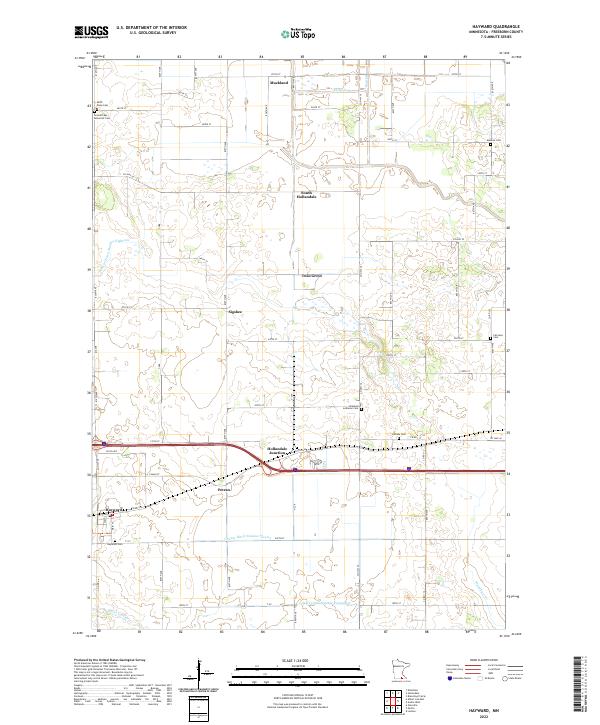 2022 Hayward2022 Print · USGSFreeborn County's fertile farm country and drainage networks are documented here in the early twenty-first century. Researchers can locate numerous local burial grounds like Hillside Cem and Fairview Cem or trace rural sidings such as Petran and Sigsbee.
 - 2022 Map of Albert Lea East, 2022 Print
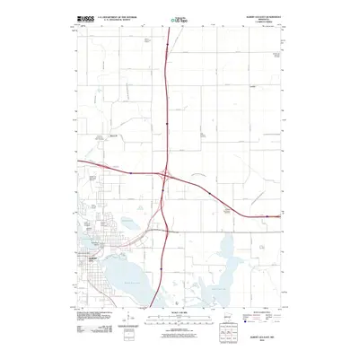
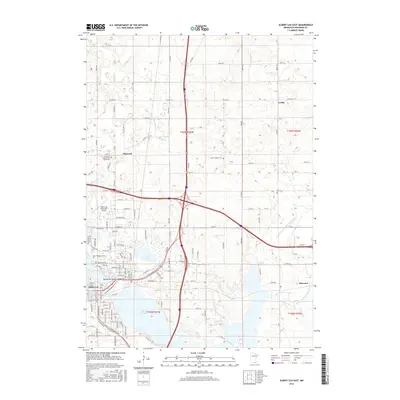
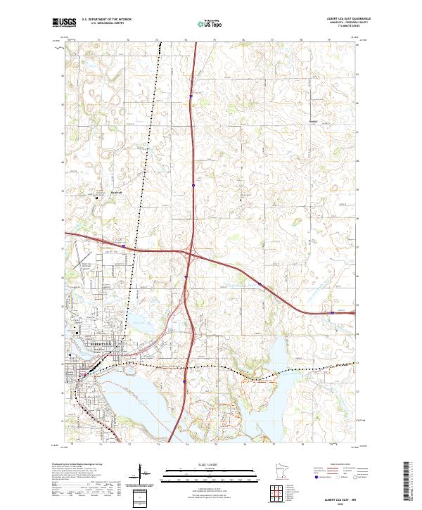 2022 Albert Lea East2022 Print · USGSFreeborn County settlement and infrastructure are captured in this recent survey of the region surrounding Albert Lea and Hayward. Researchers can locate several burial grounds and civic landmarks, including the Freeborn County Poor Farm Cem and Katherine Island in Fountain Lake.
End of results
Showing maps 1-10 of 10
Top cities near Hayward
- Austin historical maps
- Albert Lea historical maps
- Northwood historical maps
- Blooming Prairie historical maps
- Bancroft historical maps
- Clarks Grove historical maps
See more
Frequently asked questions
- What are the different types of historical maps available for Hayward?
- What is the oldest map of Hayward?
- Where can I purchase historical maps of Hayward for my home or office?
- Where can I download high-res historical maps of Hayward?
- Are there historical topographic maps available for Hayward?
- Is there historical aerial imagery available for Hayward?
- Where are historical maps of Hayward sourced from?