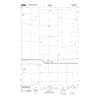
2010 Map of Hayward
USGS Topo · Published 2010About this map
The agrarian landscape of Freeborn County is defined by a dense network of water management features, including the Judicial Ditch Number Twelve and County Ditch Number Fortyseven, which crisscross the territory to support local agriculture. The village of Hayward serves as a primary hub for the region, anchored by the Hayward Post Office and the nearby Hayward Cemetery. Smaller named locales such as Petran, Sigsbee, and South Hollandale are scattered throughout, linked by a grid of numbered roads.
Find a feature on this map
54 named features on this map. Tap any name to fly to it.
Don’t see what you’re looking for? This feature index may not catch every label — zoom into the map to look around manually.
Map Details
Editions of this 2010 Hayward Map
This is the sole edition of this map. No revisions or reprints were ever made.
Other maps of this area

1954 · Albert Lea
USGS Topo · 1:62,500

1954 · Hayward
USGS Topo · 1:62,500

1954 · Mason City
USGS Topo · 1:250,000

1957 · Mason City
USGS Topo · 1:250,000

1958 · Mason City
USGS Topo · 1:250,000

1967 · Blooming Prairie
USGS Topo · 1:24,000

1967 · Hollandale
USGS Topo · 1:24,000

1967 · Ellendale
USGS Topo · 1:24,000

1982 · Hayward
USGS Topo · 1:24,000
1982 · London
USGS Topo · 1:24,000