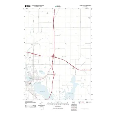
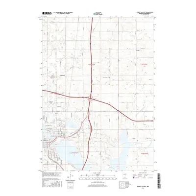
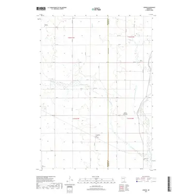
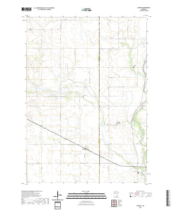
1982 Map of London
USGS Topo · Published 1983About this map
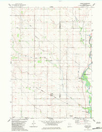
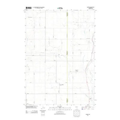
London serves as the focal point for this survey of southern Freeborn County, situated just north of the Iowa border during the early 1980s. The landscape is defined by the Illinois Central Gulf railroad, which cuts a sharp diagonal path through the prairie, and the meandering course of the Cedar River to the east. This era of land management is reflected in the Red Cedar State Wildlife Management Area, preserving riverfront habitat amidst an extensively ditched agricultural region featuring County Ditch No 71 and Judicial Ditch No 77. Genealogists will find a wealth of burial sites across the township lines, including London Cem, Cedar City Cem, and the Trondhjem Ch in the northwestern corner, documenting the enduring footprint of early Scandinavian and pioneer settlement patterns in the rural Midwest.
Find a feature on this map
27 named features on this map. Tap any name to fly to it.
Don’t see what you’re looking for? This feature index may not catch every label — zoom into the map to look around manually.
Map Details
Editions of this 1982 London Map
This is the sole edition of this map. No revisions or reprints were ever made.
Historical Maps of London Through Time
24 maps found
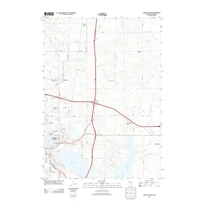
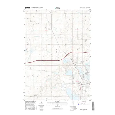
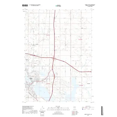
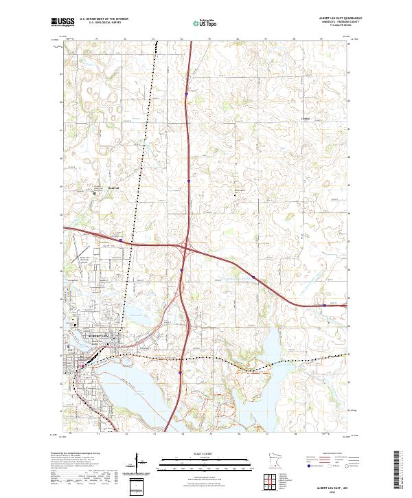
1982 Albert Lea East
Freeborn County, MN
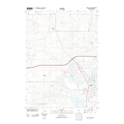
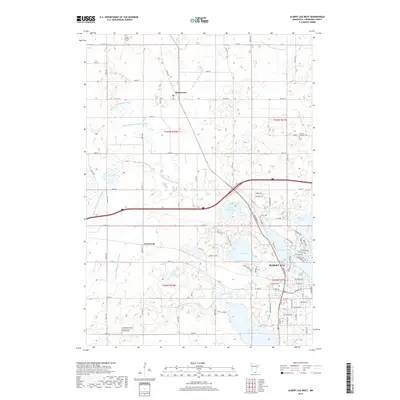
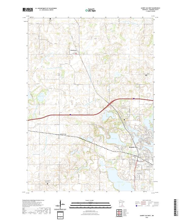
1982 Albert Lea West
Freeborn County, MN
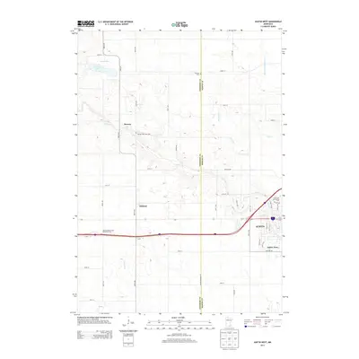
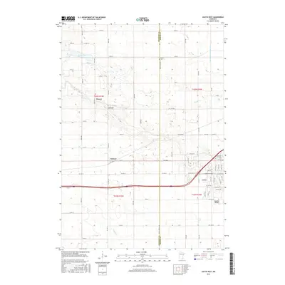
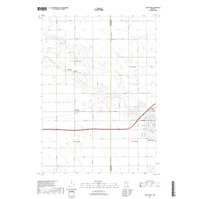
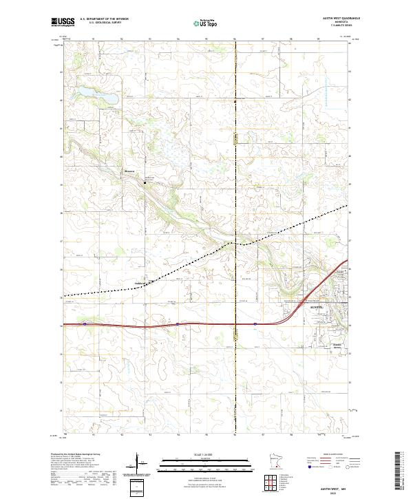
1982 Austin West
Freeborn County, MN
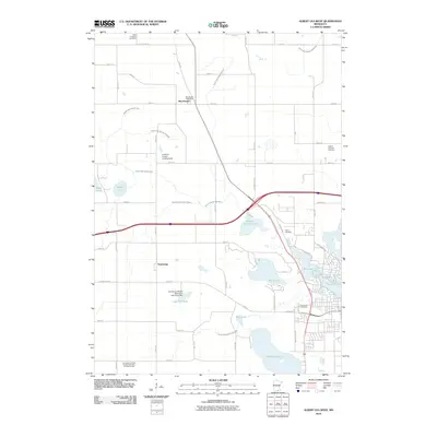
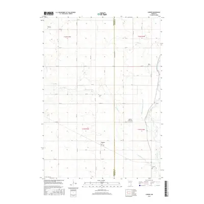
1982 London
Freeborn County, MN
2010 Albert Lea East
Freeborn County, MN
2010 Albert Lea West
Freeborn County, MN
2010 Austin West
Freeborn County, MN
2010 London
Freeborn County, MN
2013 Albert Lea East
Freeborn County, MN
2013 Albert Lea West
Freeborn County, MN
2013 Austin West
Freeborn County, MN
2013 London
Freeborn County, MN
2016 Albert Lea East
Freeborn County, MN
2016 Albert Lea West
Freeborn County, MN
2016 Austin West
Freeborn County, MN
2016 London
Freeborn County, MN
2019 Albert Lea East
Freeborn County, MN
2019 Albert Lea West
Freeborn County, MN
2019 Austin West
Freeborn County, MN
2019 London
Freeborn County, MN
2022 Albert Lea East
Freeborn County, MN
2022 Albert Lea West
Freeborn County, MN
2022 Austin West
Freeborn County, MN
2022 London
Freeborn County, MN