
1967 Map of Ellendale
USGS Topo · Published 1969About this map
Geneva Lake dominates the eastern half of this landscape, its expansive waters surrounded by the low-lying wetlands of southern Minnesota. The 1967 survey captures a critical moment of infrastructure expansion as Interstate 35 bisects the area, running parallel to the older Chicago Rock Island and Pacific railroad line. This transportation corridor connects the primary settlements of Ellendale, Geneva, and Clarks Grove, revealing how the highway began to reshape the orientation of these agricultural communities.
Find a feature on this map
28 named features on this map. Tap any name to fly to it.
Don’t see what you’re looking for? This feature index may not catch every label — zoom into the map to look around manually.
Map Details
Editions of this 1967 Ellendale Map
This is the sole edition of this map. No revisions or reprints were ever made.
Other maps of this area

1954 · Albert Lea
USGS Topo · 1:62,500

1954 · Hayward
USGS Topo · 1:62,500

1954 · Mason City
USGS Topo · 1:250,000

1957 · Mason City
USGS Topo · 1:250,000

1958 · Mason City
USGS Topo · 1:250,000

1967 · Steele Center
USGS Topo · 1:24,000

1967 · Hollandale
USGS Topo · 1:24,000
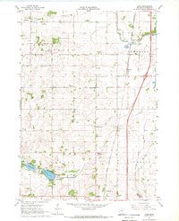
1967 · Hope
USGS Topo · 1:24,000

1967 · Hartland
USGS Topo · 1:24,000
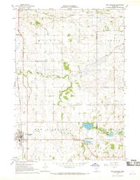
1967 · New Richland
USGS Topo · 1:24,000